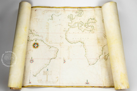
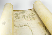
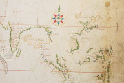
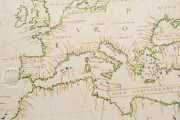
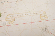
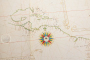
The Castiglioni World Map is a perfect example of the official representation of the world after its circumnavigation by Magellan-Elcano in 1519-1522. It shows the technical and scientific advances in the art of cartography, and contributed to open a new era in the knowledge and expansion of the world in the sixteenth century. The map, also known as "Planisfero Castiglioni," is drawn on four sheets of vellum, measuring all together 82 x 214 cm. Although it is not signed, it is believed that the map was made by Diego Ribeiro (d. 1533), a cartographer working for the "Casa de Contratación" in Seville, the official agency that administered financial and legal overseas matters for the Spanish Empire.
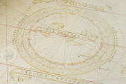
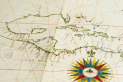
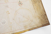
The decorative features of the map include several wind roses and a large circular table of declinations representing zodiacal signs and the months of the years. At the lower left, we can see a horary quadrant, used to find the time of the day by measuring the Sun's altitude. This element was a usual feature of Diego Ribeiro's maps.
Castiglioni World Map: A Reflection of its Time
The map reflects the political and geographical situation of the first decades after the discovery of the New World. The coats of arms of Castile and León and Portugal are shown at the bottom of the planisphere, pointing out the division of the newly discovered parts of the world between both kingdoms after the Treaty of Tordesillas (1494).
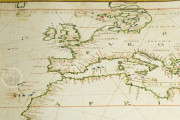
According to the tradition of early modern nautical charts, the coastlines are marked with numerous place names, and the map combines Latin and Spanish inscriptions. The cities of Cairo and Jerusalem are prominently depicted, including the scene of the Crucifixion in Jerusalem.
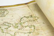
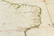
This map is characterized by high accuracy in the forms of the continents, including the Eastern coast of South America and the Caribbean. The accuracy in the depiction of Brazil is outstanding since that territory was first visited by Europeans only twenty-five years before the map was made.
The technical care in the design of the map is a common feature of the works of Diego Ribeiro. He was one of the most important cartographers of the sixteenth century. Working as a cosmographer for Emperor Charles V since 1518, he was the head cartographer of the "Casa de Contratación", as well as its "Piloto Mayor." He was also the author of several copies of the "Padrón Real," the official map used as a template for all Spanish ships during the sixteenth century, from which this planisphere may derive.
An Emperor's Gift
On February 4, 1530, six years after the death of the well-known Italian courtier and author Baldassare Castiglione, his mother commissioned an inventory of the books and manuscripts he owned in Toledo, Castiglione's place of death. One of the items listed was a "navigation map on parchment," dated in 1525 and given probably by Emperor Charles V to Castiglione.
This map is known as Castiglioni World Map, for it was owned by the Castiglioni family until 2000, when it was purchased by the Italian state and assigned to the Estense Library in Modena, where it is currently held.
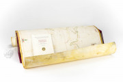
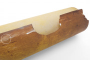
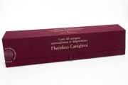
We have 1 facsimile edition of the manuscript "Castiglioni World Map": Planisfero Castiglioni facsimile edition, published by Il Bulino, edizioni d'arte, 2001
Request Info / Price
