
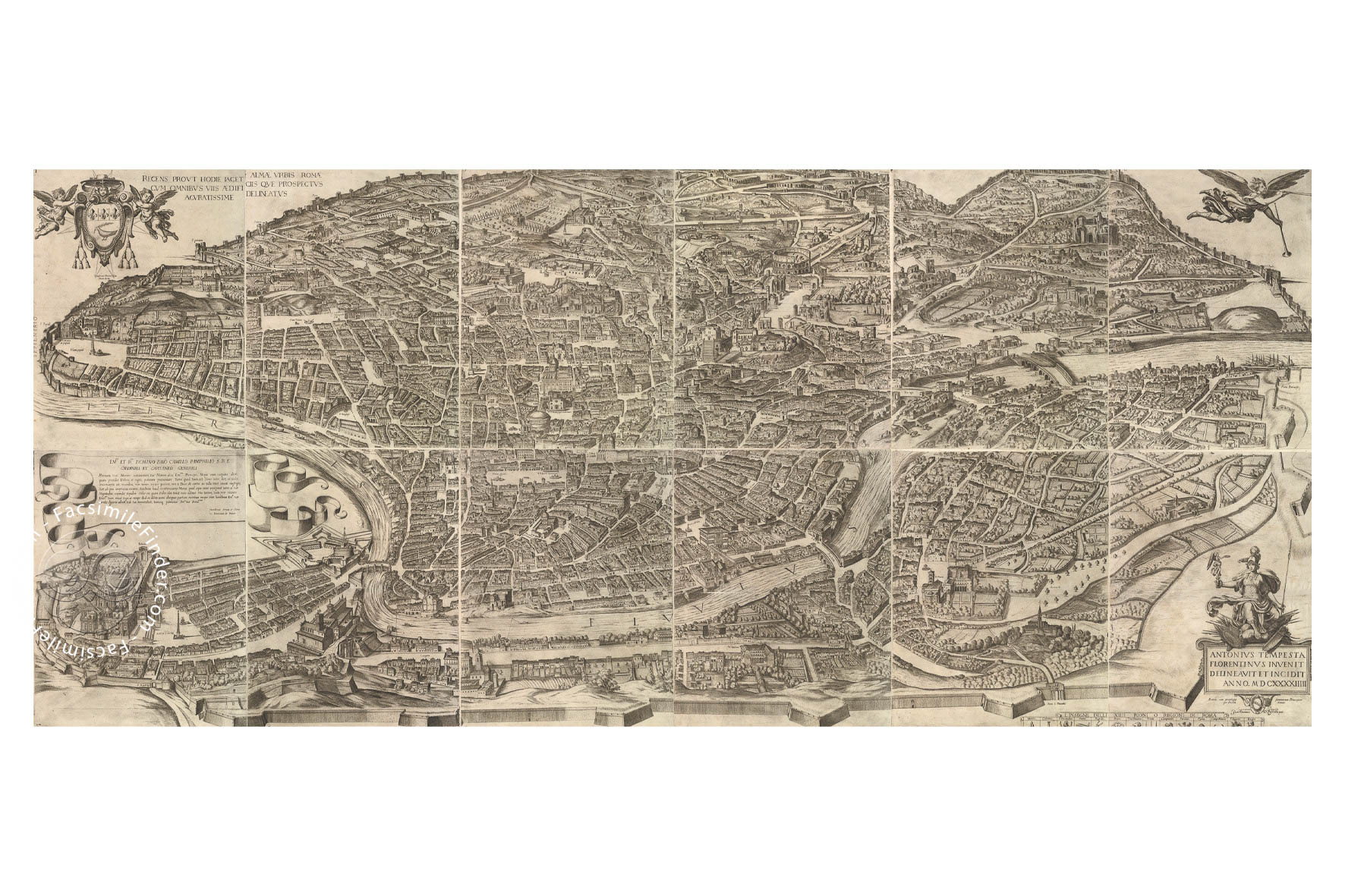
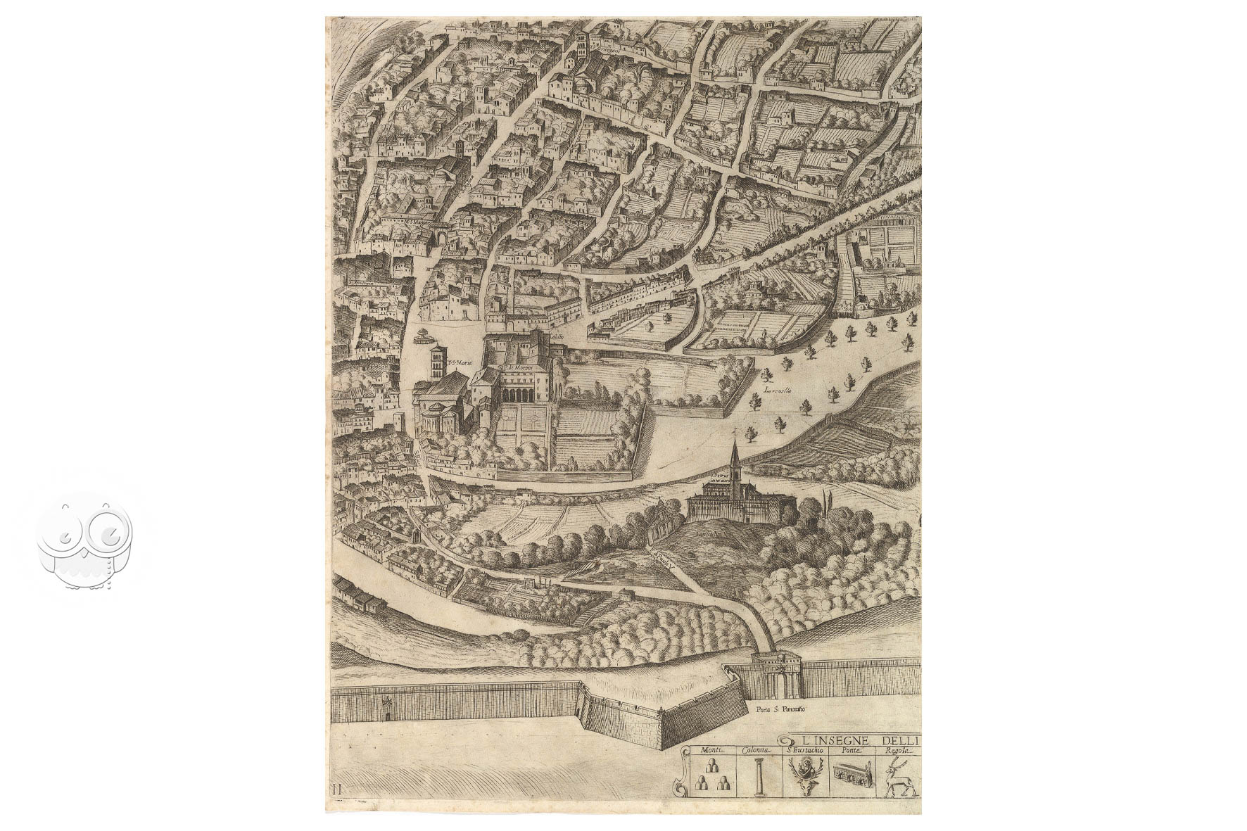
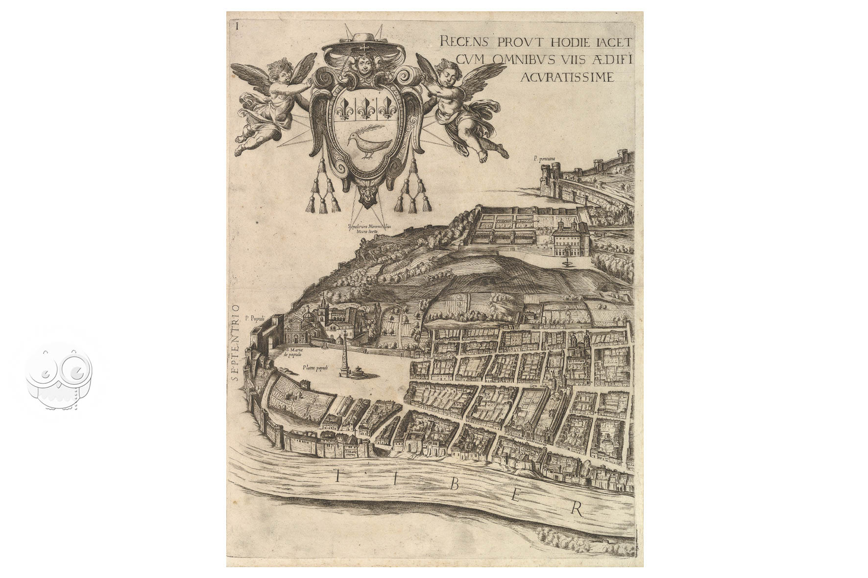
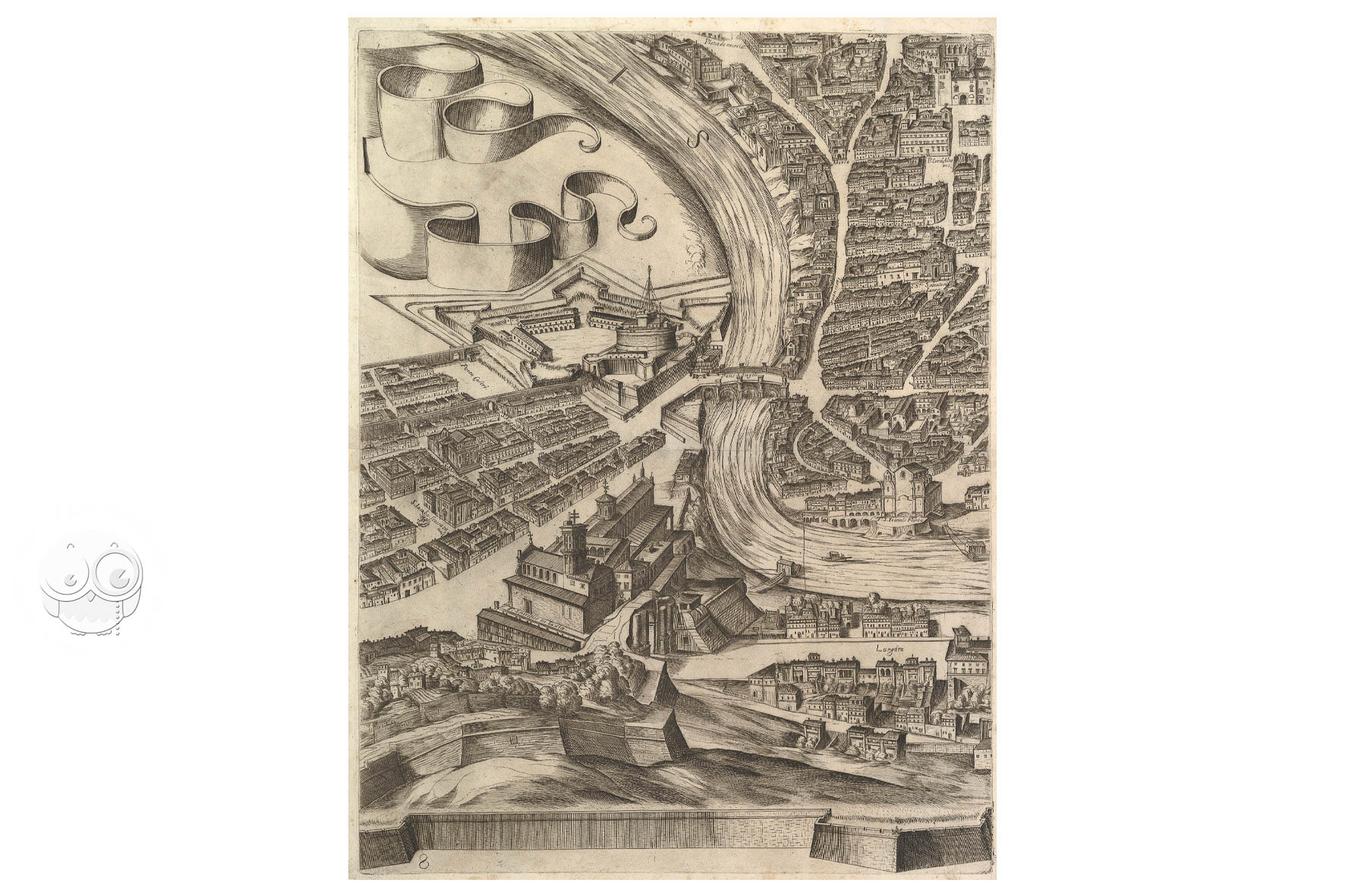
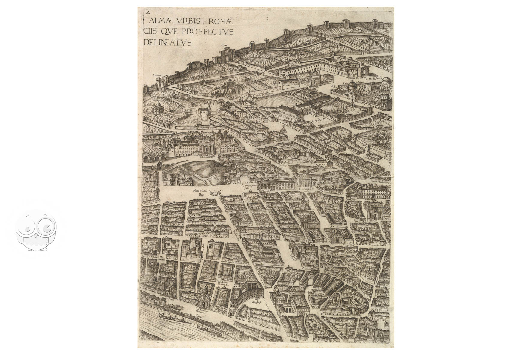
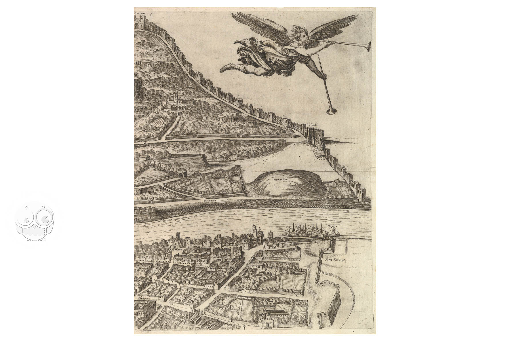
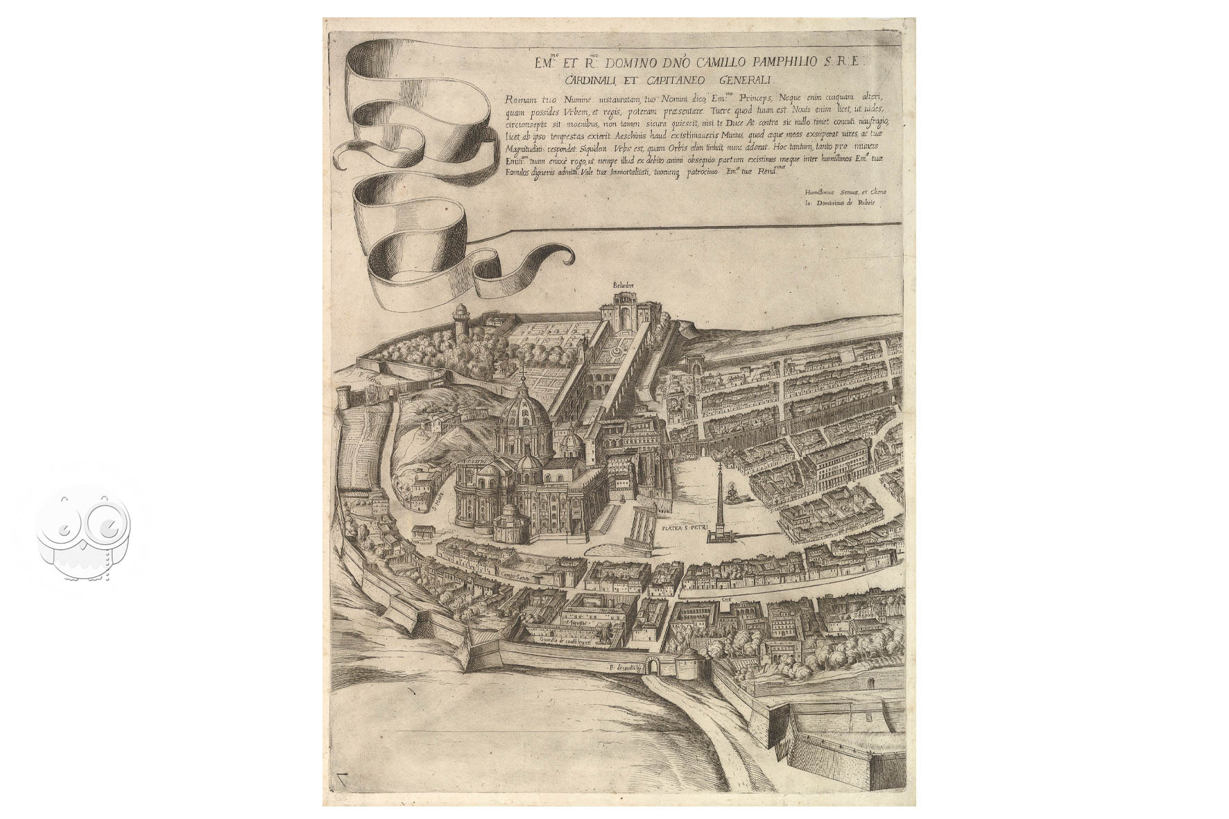
Printed from twelve plates and assembled in two rows of six, the Plan of the City of Rome in The Metropolitan Museum of Art stretches more than two meters across and shows the papal capital as it stood at the close of the sixteenth century. Antonio Tempesta (1555–1630) first issued the view in 1593; this impression belongs to the edition published in Rome in 1645 by Giovanni Domenico de Rossi, dedicated to Cardinal Camillo Pamphili.
A Roman Print Market Built on the Image of the Modern City
By the seventeenth century, Rome sold itself in print. Churches, piazzas, fountains and palaces were engraved almost as fast as they were built, and the de Rossi dynasty made that documentation its business.
Tempesta’s sheet, already half a century old by 1645, remained worth reprinting because its outline of the city could be quietly corrected as Rome changed.
Twelve Etched Plates Seen from the West
The view is etched with some engraving, taken from a high vantage point west of the Tiber; the positions of the landmarks suggest the artist worked from sketches made on the Janiculum. Streets run between individually drawn houses, the river curves through ten of the twelve sheets, and the countryside beyond the Aurelian walls is left blank, so that the city reads as a single clear shape. The Pamphili arms occupy the upper left; the dedication sits on the seventh sheet, beside the Vatican.
A Portrait Meant to Glorify Urban Rome
Later states record the city’s renewal: the 1645 printing already shows Bernini’s Barcaccia below Trinità dei Monti. Each reissue made the plates a little less a record of 1593 and a little more a running account of a city that refused to stand still.
We have 1 facsimile edition of the manuscript "View of Rome": Plan of the City of Rome facsimile edition, published by Giovanni Domenico de Rossi, 1983
Request Info / Price