
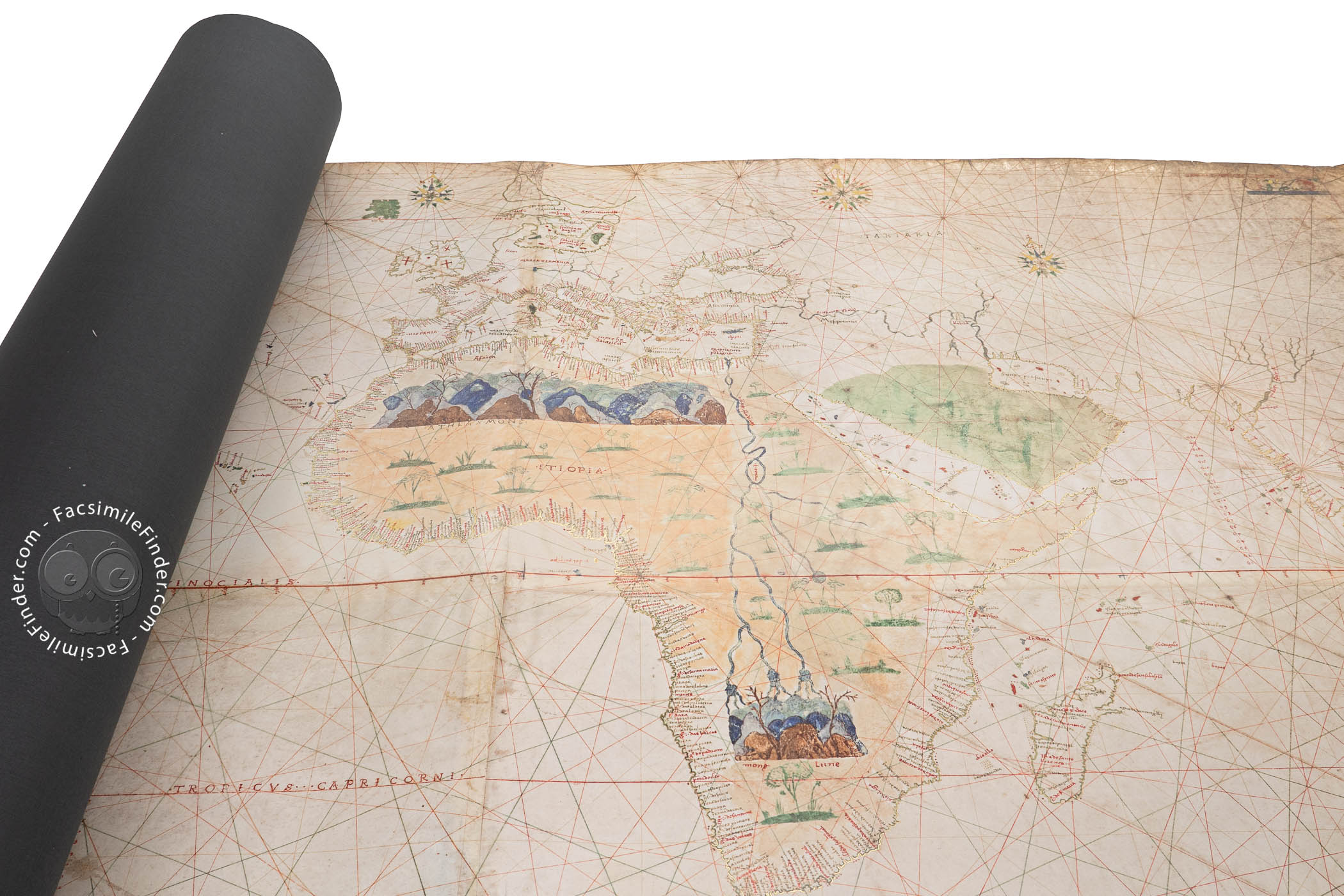
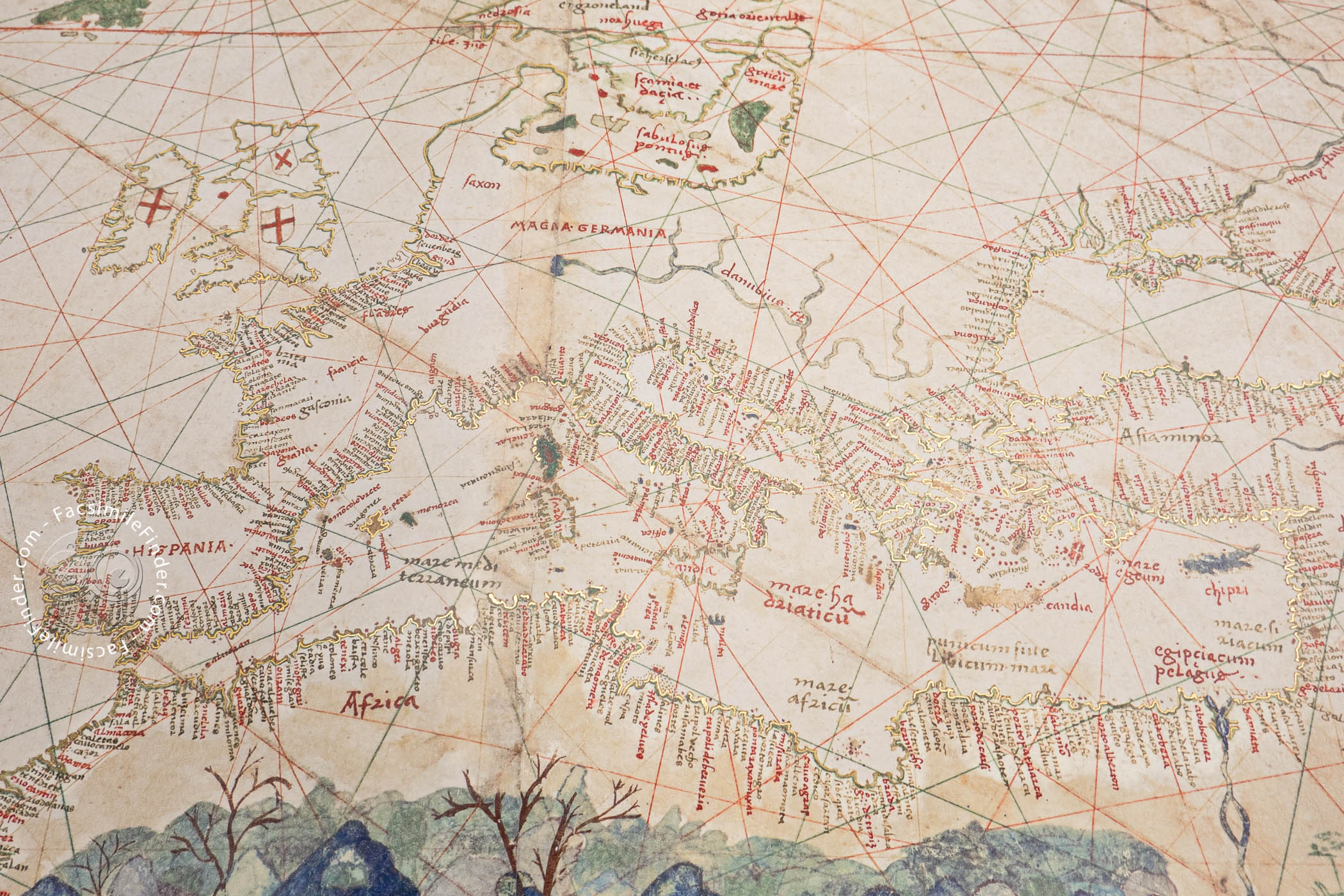
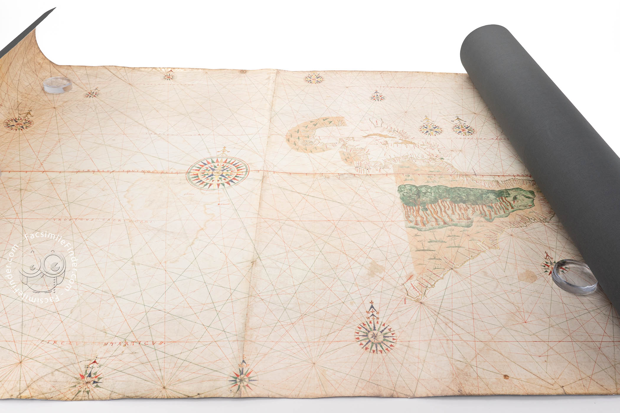
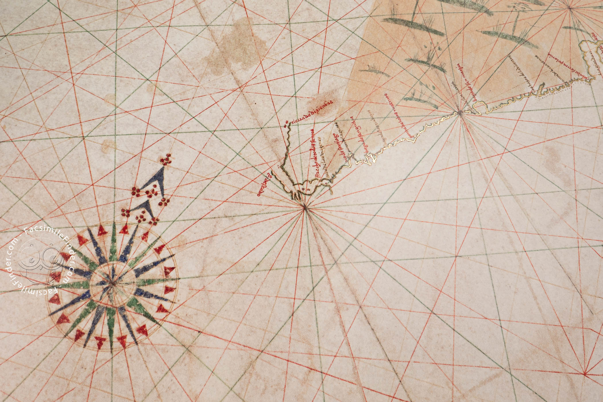
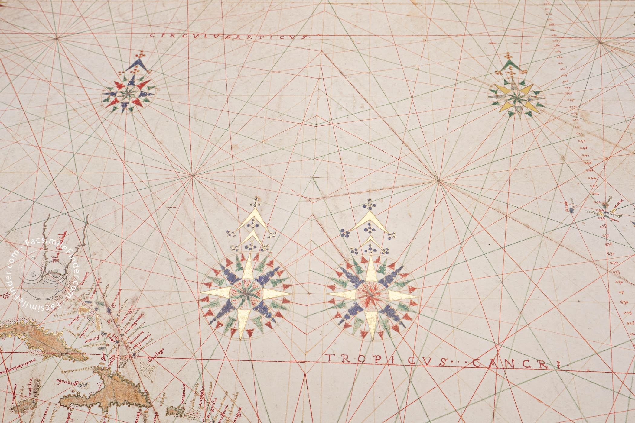
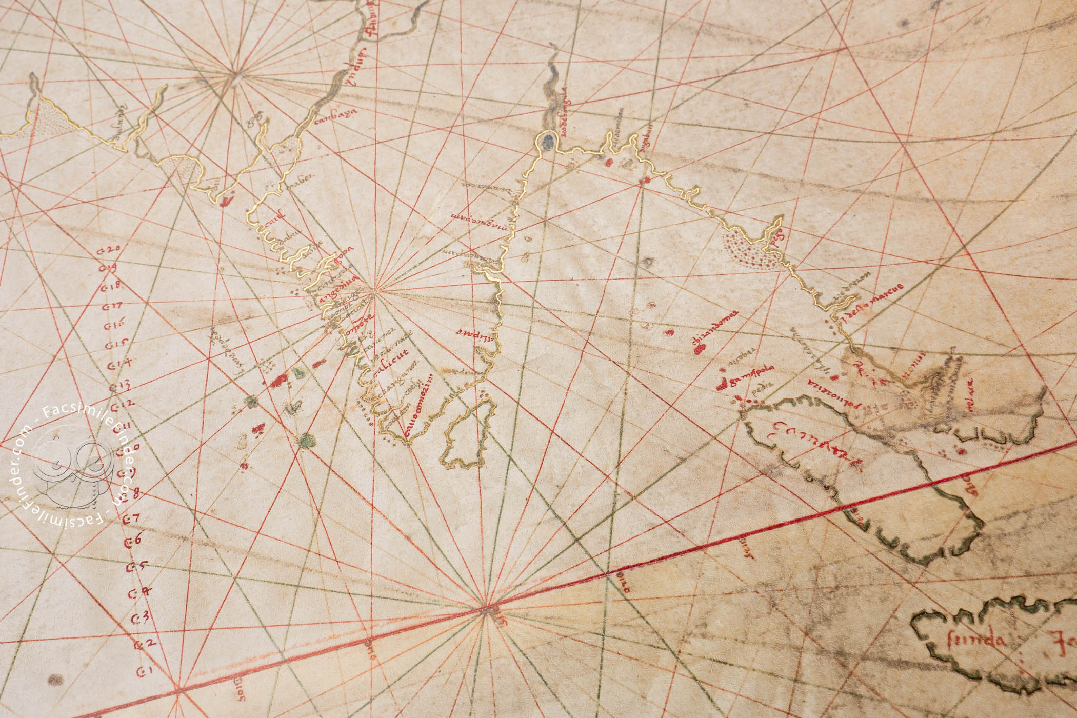

The Turin World Map is the earliest surviving European nautical chart to show the Strait of Magellan. It is a copy of the continuously updated official map maintained by the Spanish royal authorities in Seville. Drawn in 1523 or 1524 and attributed to Juan Vespucci, it is remarkable for representing the entire 360-degree circumference of the globe. The pictorial embellishments based on legend commonly found on nautical charts of the period are shunned, but some topographical elements are illustrated. An important feature is that degrees of longitude are marked on the equator.
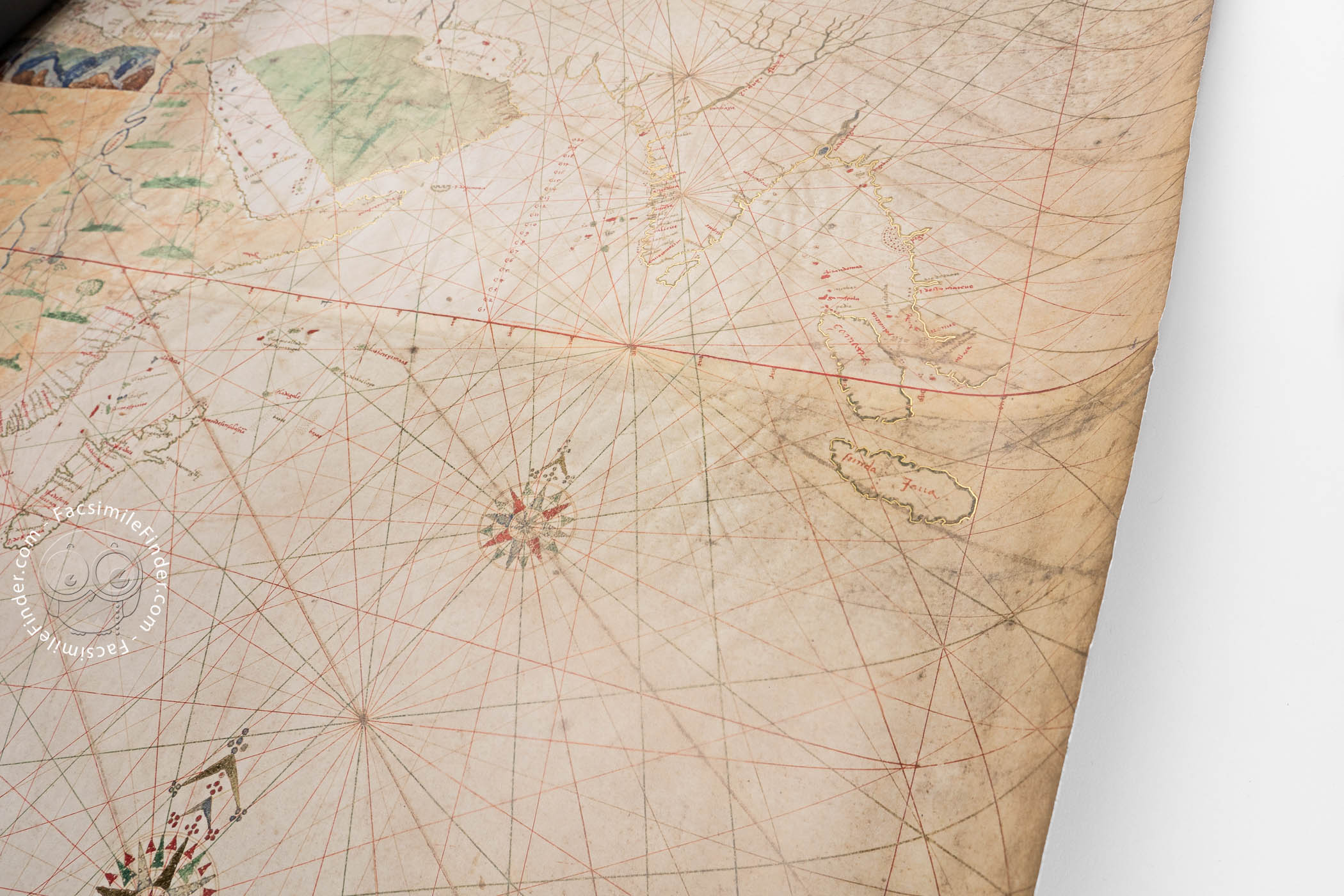
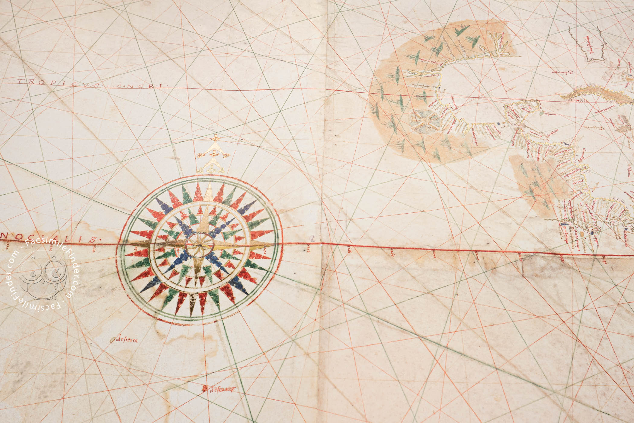
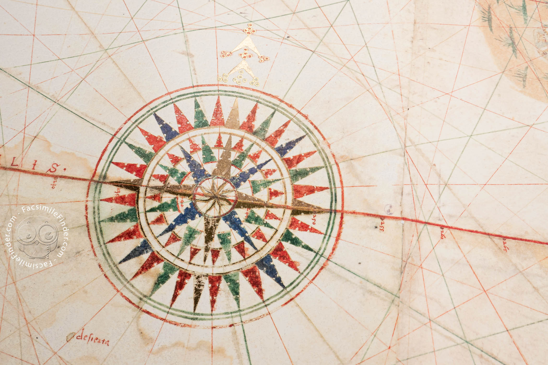
As is customary on portolan charts, coastal landmarks are labeled in black or red, with the writing always perpendicular to the coastline extending inland. Rhumb lines—paths with constant bearings relative to magnetic north—in black, green, and red radiate from thirty-two wind roses.
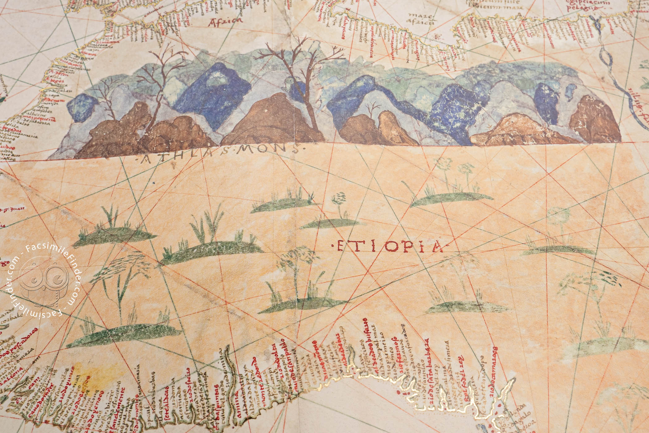
Mountains and Parrots
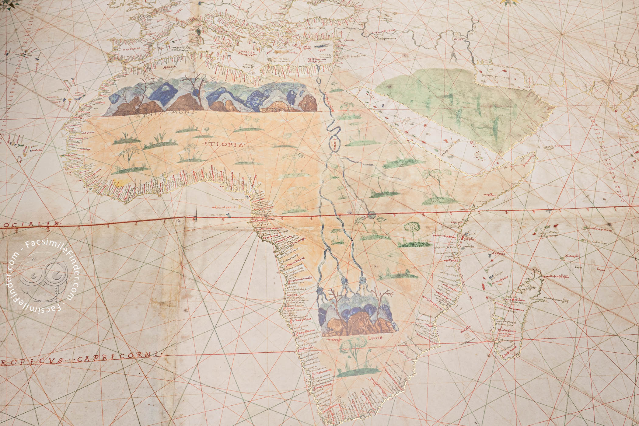
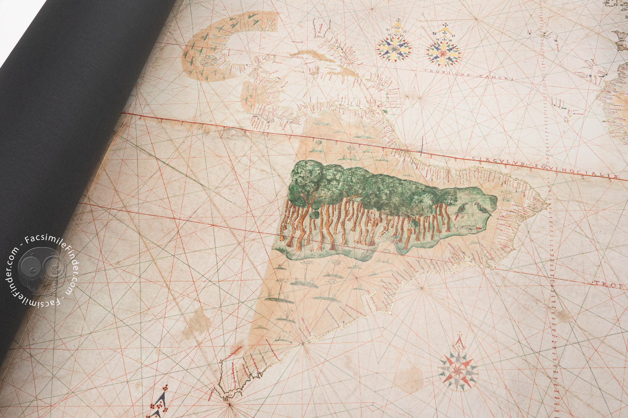
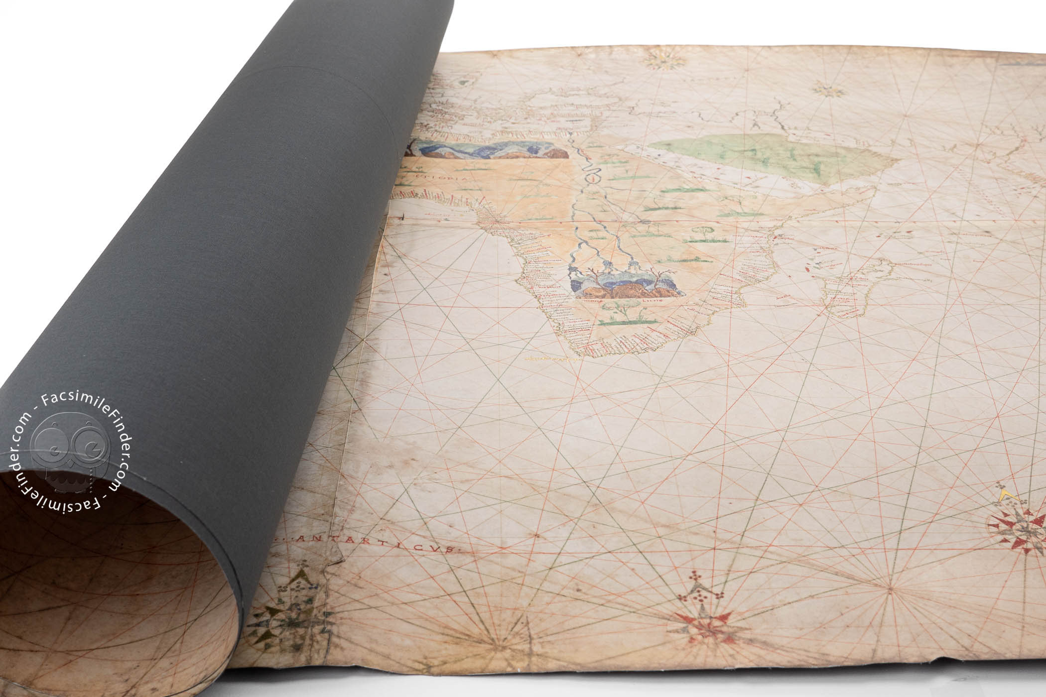
Africa includes depictions of two mountain ranges. The Atlas Mountains are rendered in brown and shades of blue, suggesting perspective; they extend further east on the map than in life. The map's one concession to ancient legend is the inclusion of the "Mountains of the Moon," also in brown and blue, the source of the Nile River, according to the ancient geographer Ptolemy.
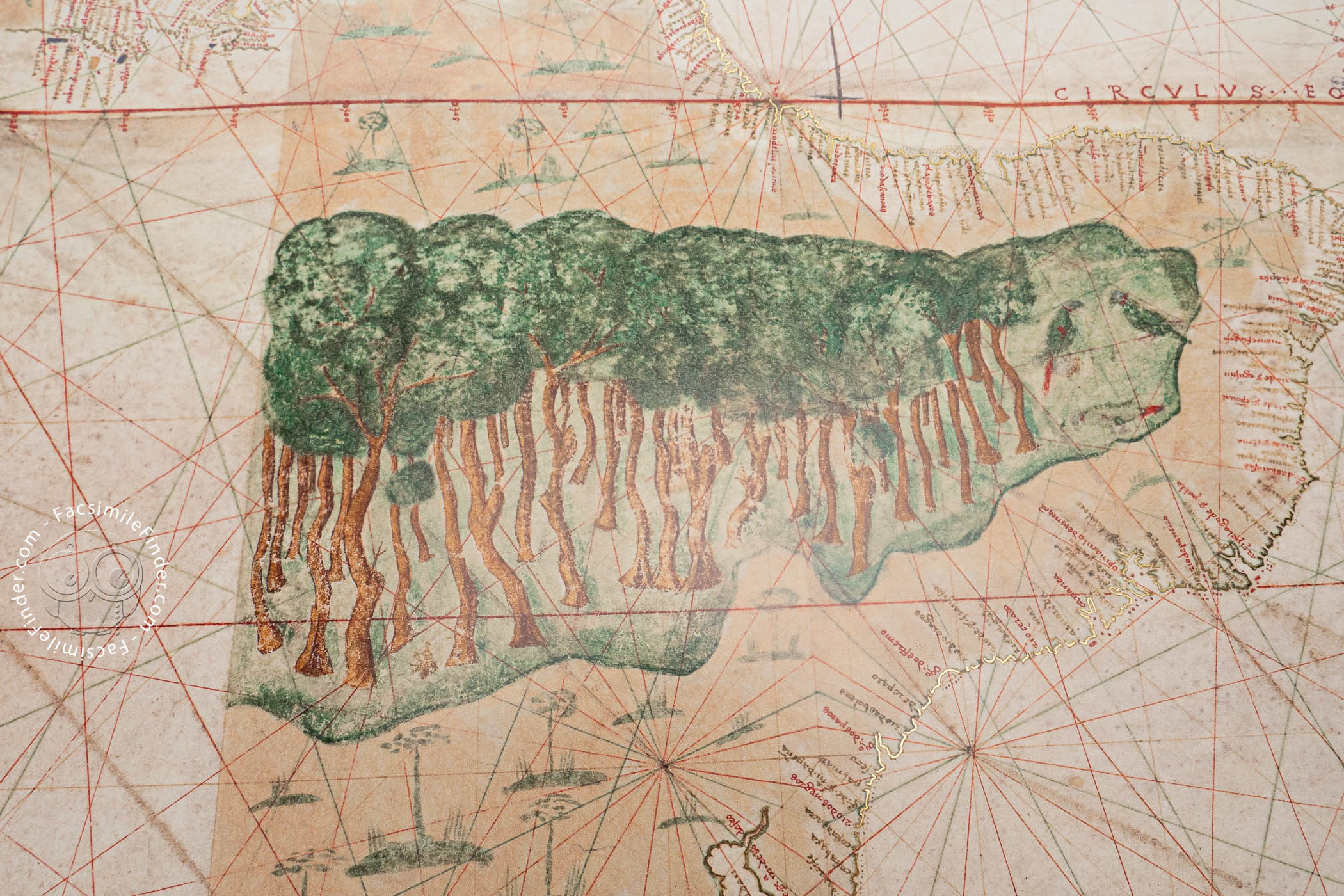
The Amazon is pictured as a dense forest. Green parrots are shown at its east end. It stops abruptly to the west with the rest of the continent since the map delineates only territory properly charted by Europeans, which did not include the west coast of South America.
Tenochtitlán Illustrated
There is a bird's-eye-view of Tenochtitlán, the former capital of the Aztec Triple Alliance and the largest city in the Pre-Columbian Americas. It is shown—as it was—on an island in Lake Texcoco in the Valley of Mexico. The painted rendition includes the causeways joining the city to the surrounding countryside.
Labels in Latin and Spanish
The labels, most identifying cities and landmarks along the coastlines visible from the sea, are principally in Latin. Only a few are in Spanish. They include Greater Armenia (armenia mayor) and, most interestingly, the "Strait of All Saints" (strecho de todos santos), the name given by Magellan's exploratory party to the passageway later named for the explorer himself. They entered it on All Saints Day (November 1), 1520.
Vespucci and the Spanish House of Trade
In 1512, Juan Vespucci was named to a post in the Spanish House of Trade, the government agency tasked with updating and maintaining an official map of the areas explored and exploited by Europeans around the globe (the padrón real).
The Turin Map of the World is a copy of that official map. Although the Turin map is unsigned and undated, the inclusion of the Strait of Magellan and its kinship to the signed Map of the World by Juan Vespucci of 1526 suggest Vespucci's authorship. He certainly was in the right place at the right time.
Intended for Presentation
The impressive chart was intended for presentation. There is a fragment of a painted frame in the upper right corner. Continuing it would have meant painting over wind roses; the cartographer may have abandoned the embellishment for that reason. The map was acquired for the Biblioteca Reale in 1843 from the library of the renowned bibliophile Carlo Francesco Giacinto Caissotti di Chiusano (1754-1831).
We have 1 facsimile edition of the manuscript "Turin World Map": Geocarta Nautica Universale di Vespucci facsimile edition, published by Priuli & Verlucca, editori, 2010
Request Info / Price