
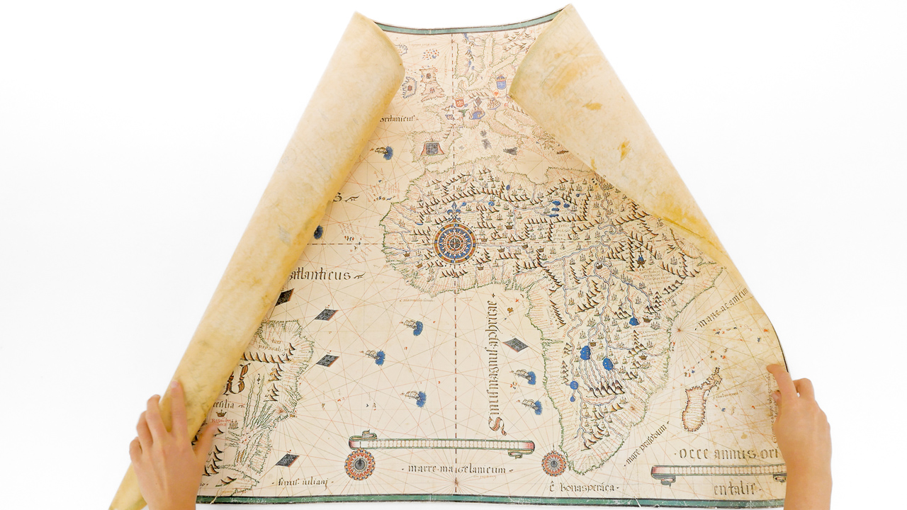
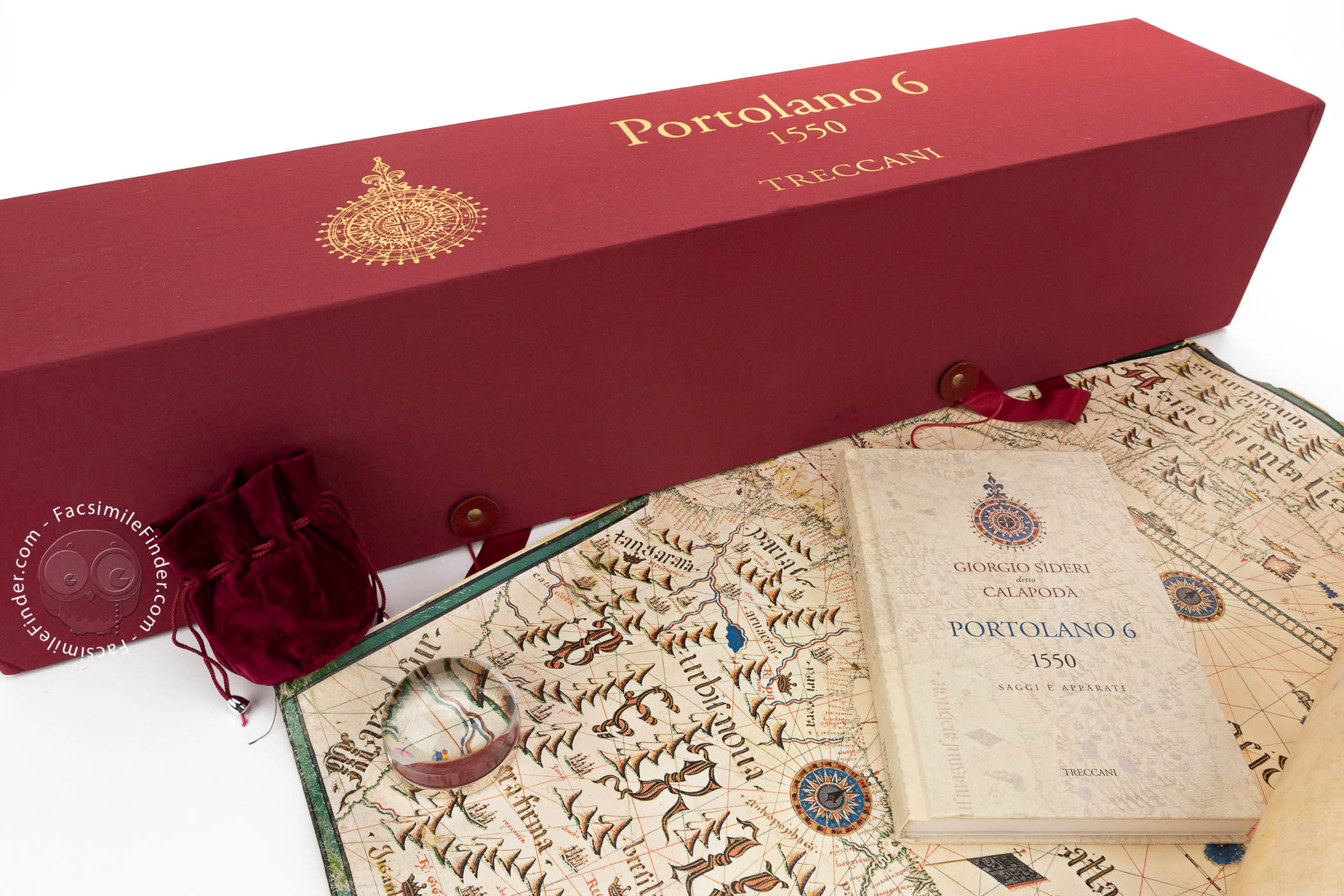

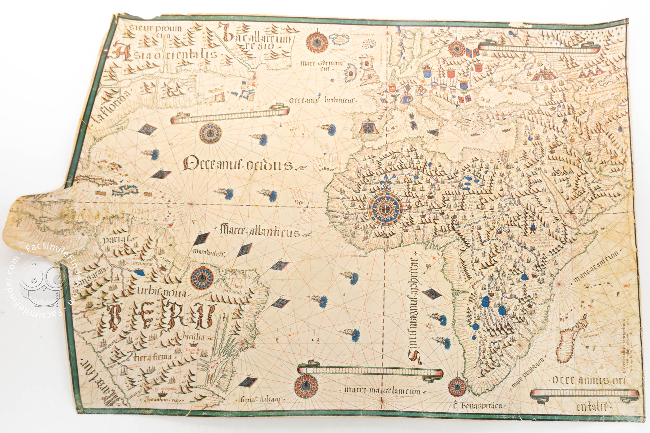


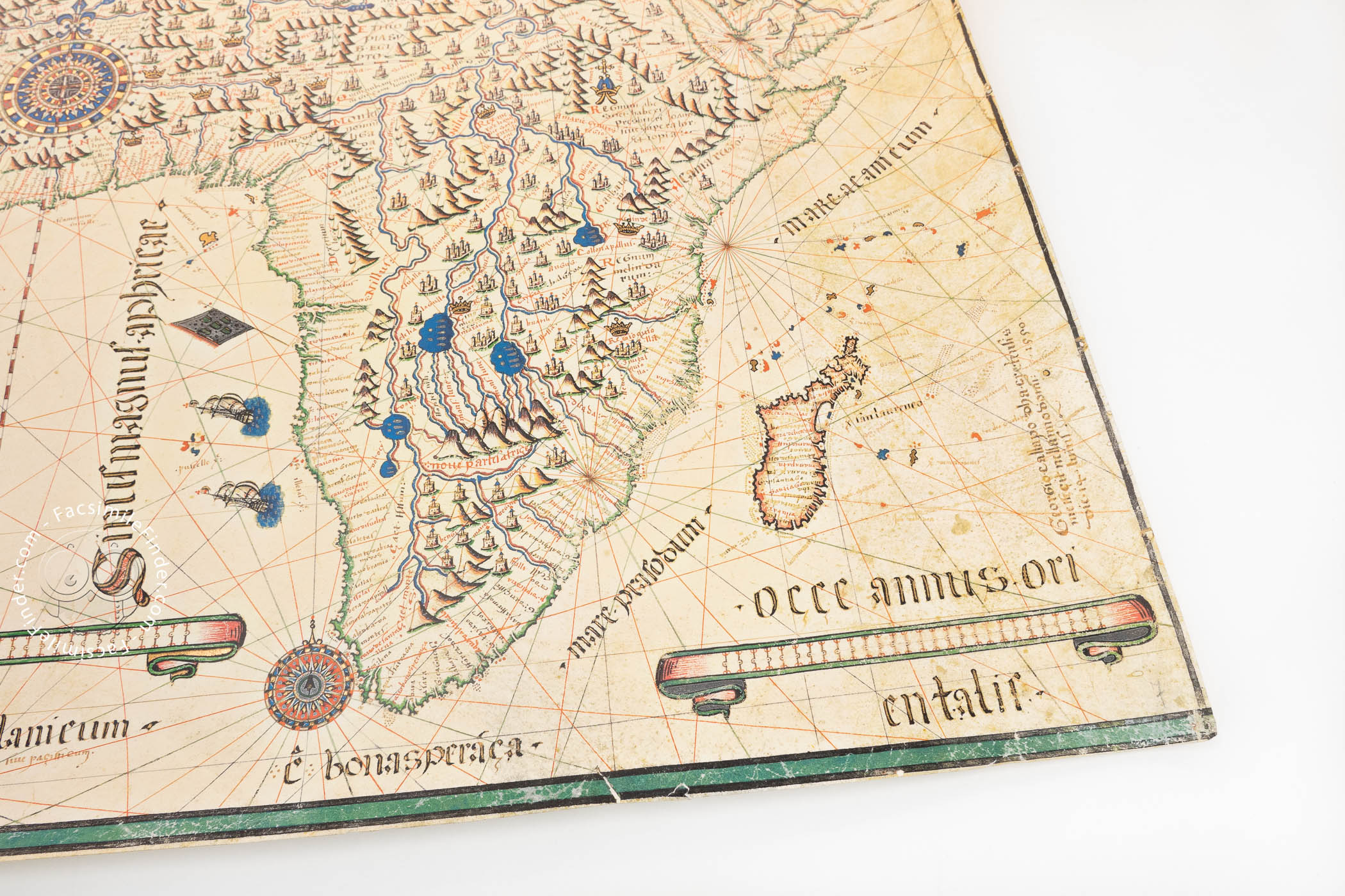


Produced in 1550 in Venice by Giorgio Sideri, known as Calapodà or Il Callapoda, this chart is a dazzling example of a nautical map in the waning tradition of portolan charts. It shows the Western hemisphere—Europe, Africa, and parts of Asia and the Americas—at a time when new information about America was still increasing in Europe. Near the lower right corner, the map is signed in a formal Gothic Textualis script: Georgio Callapodha cretensis meffecit nell'anno domini 1550 de 14 luius (Giorgio Callapoda from Crete made me in the year of the Lord 1550 on 14 July).
Although created in the tradition of navigational charts, Sideri's map was meant to convey contemporary geographical knowledge rather than serve as a tool for maritime wayfinding. Its rich decoration, with graphic indications of mountain ranges, lakes, and rivers, as well as the admixture of Latin and Italian text, suggest that it was destined for a library, not for a ship.
A Showpiece between Cartography and Art
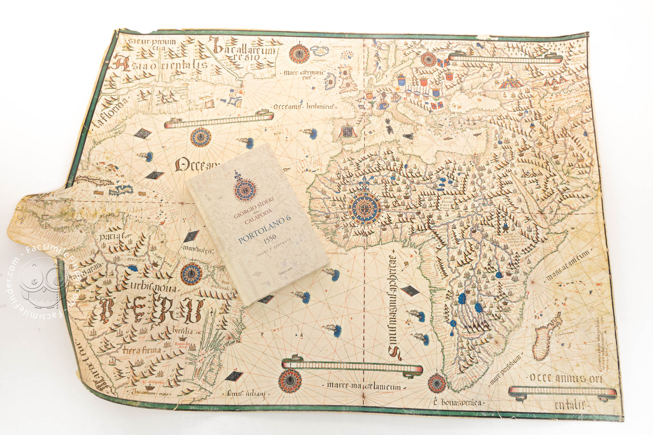
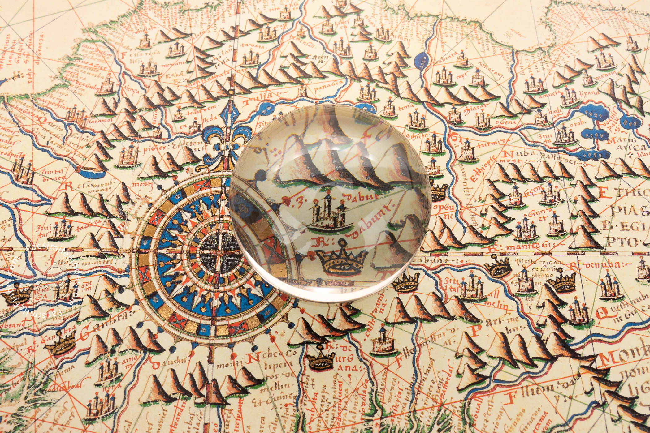
Drawn and painted on a single sheet of parchment, the chart measures an impressive 72 × 106 cm. It is remarkable for its seven richly decorated compass roses and four ornamented scales of miles. Representations of ten nearly identical sailing vessels occupy the Atlantic Ocean.
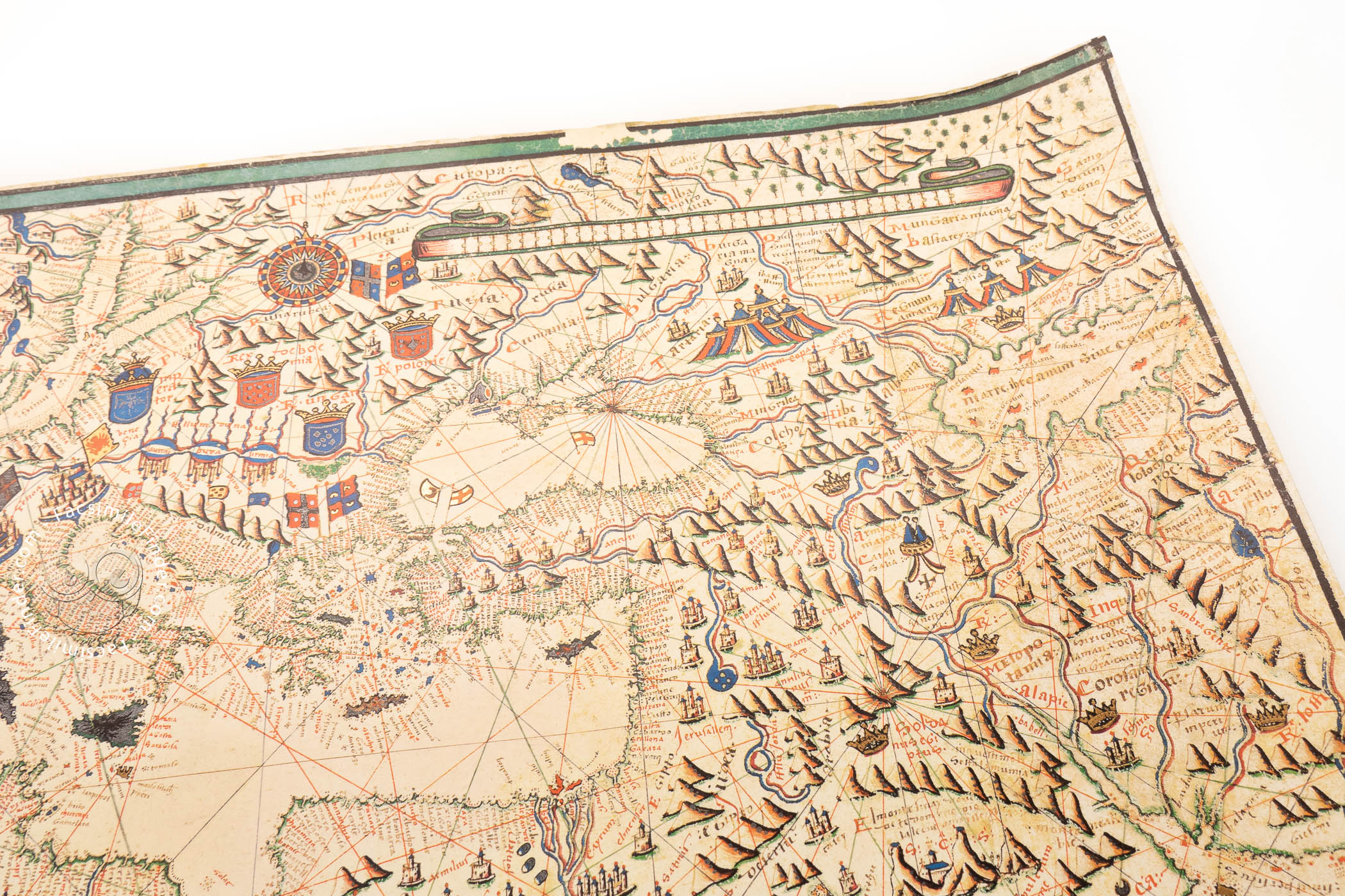
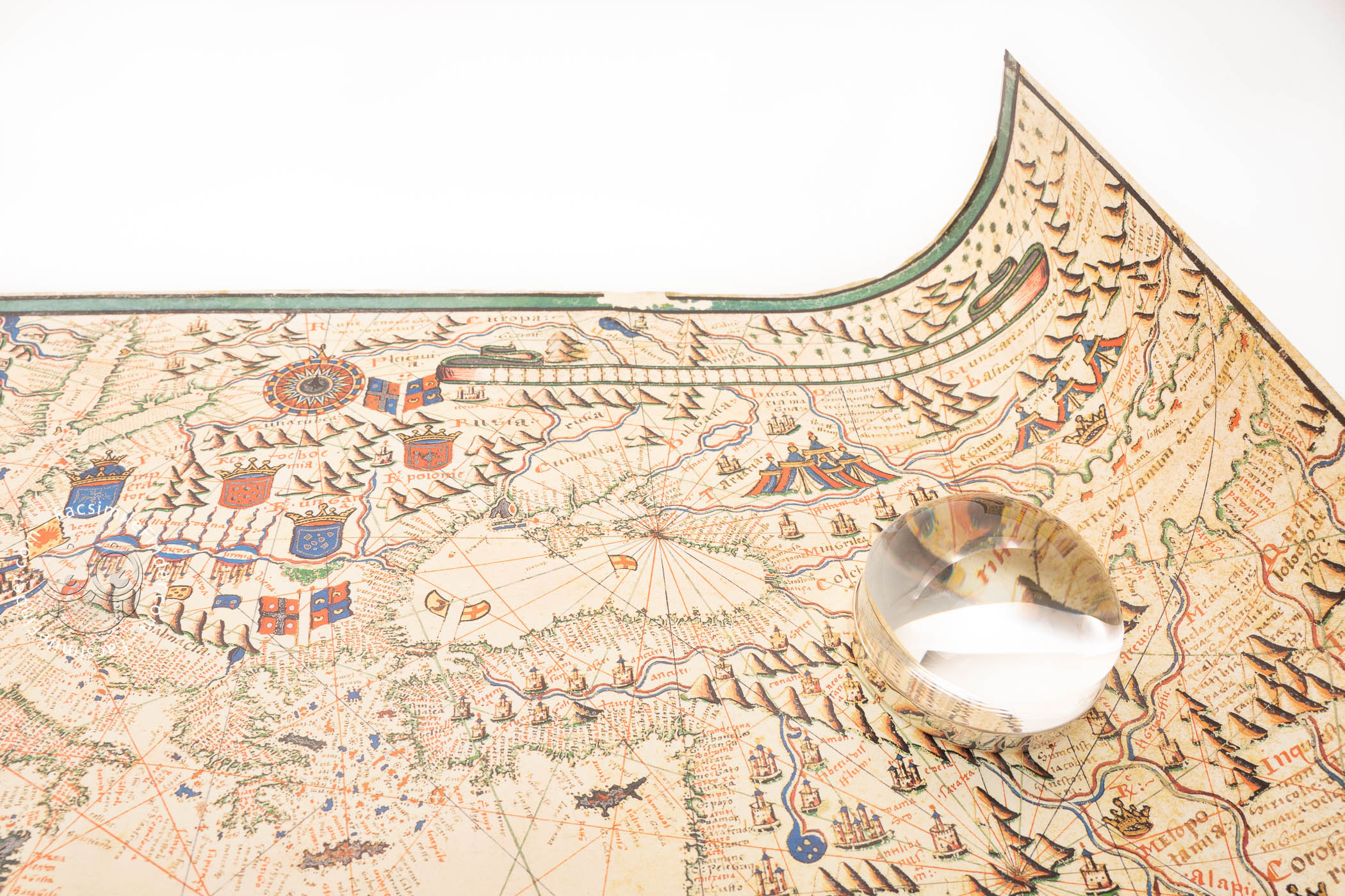
Place names line the coastlines, with the more important names written in red. Most islands are in blue, though some are gold, red, or green. The coats of arms for England, Scotland, France, Germany, Poland, Hungary, and Spain are included at appropriate places in Europe, as are the flags of the city-states of Genoa and Venice.
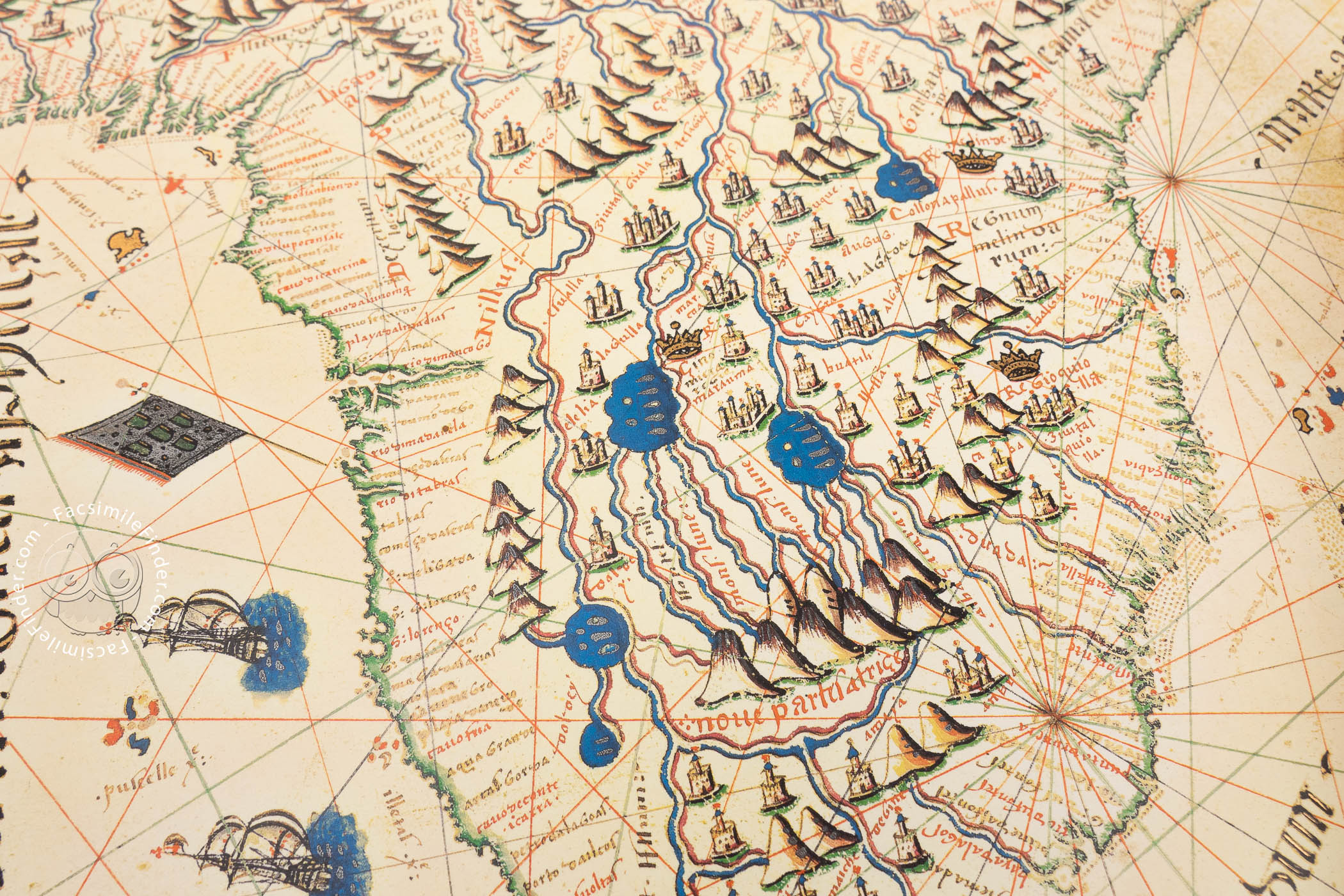
The tents of the tartars are included in Asia, and abundant details of natural geography are represented in Africa. In northwestern Africa, the largest compass rose is placed at the intersection of the latitude and longitude scales that divide the map into four quadrants.
Powers on Land and the Seas
Many cities across the continents are shown as little bird's-eye-view vignettes. The representations of the Italian maritime powers of Genoa and Venice are larger and more particularized.
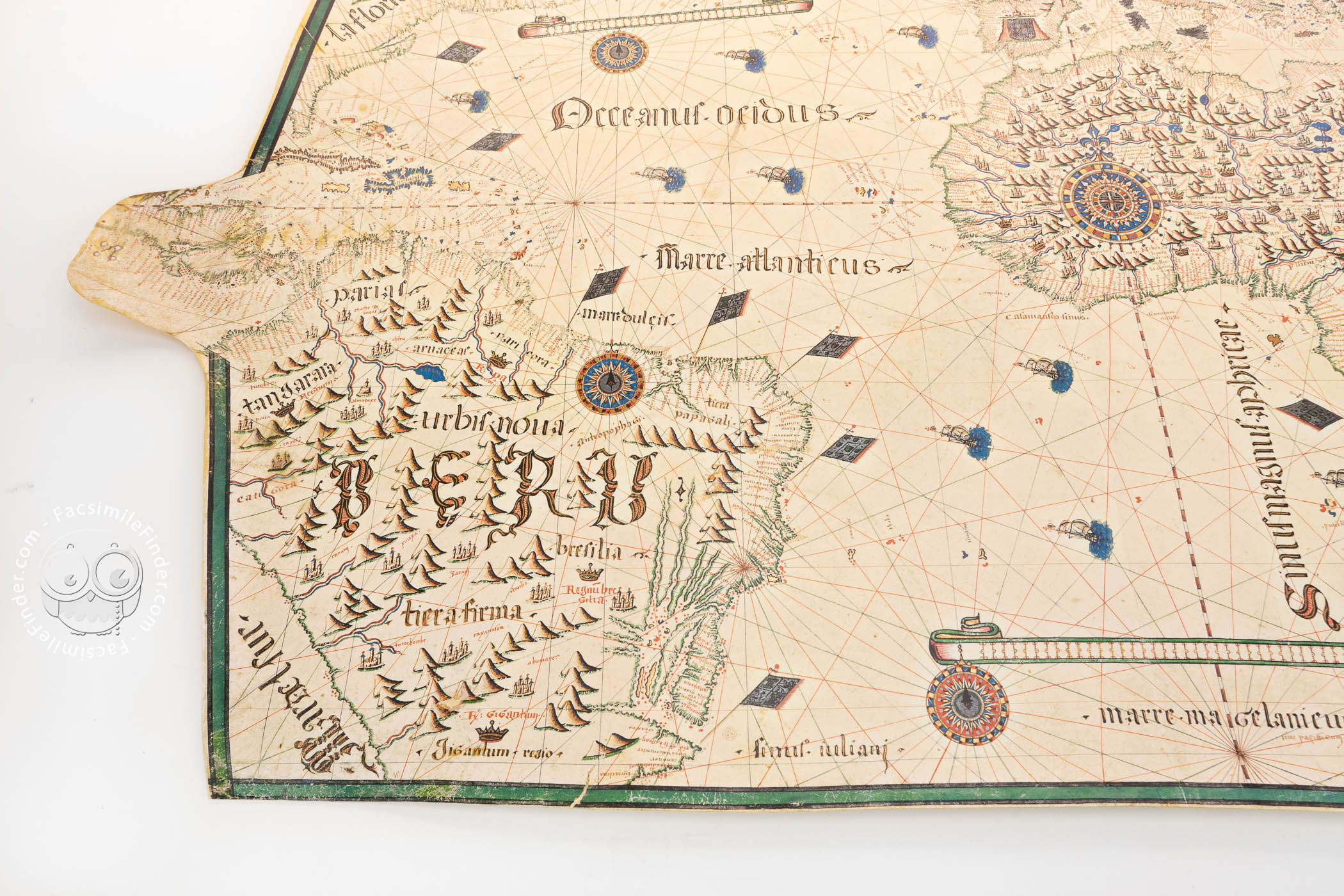
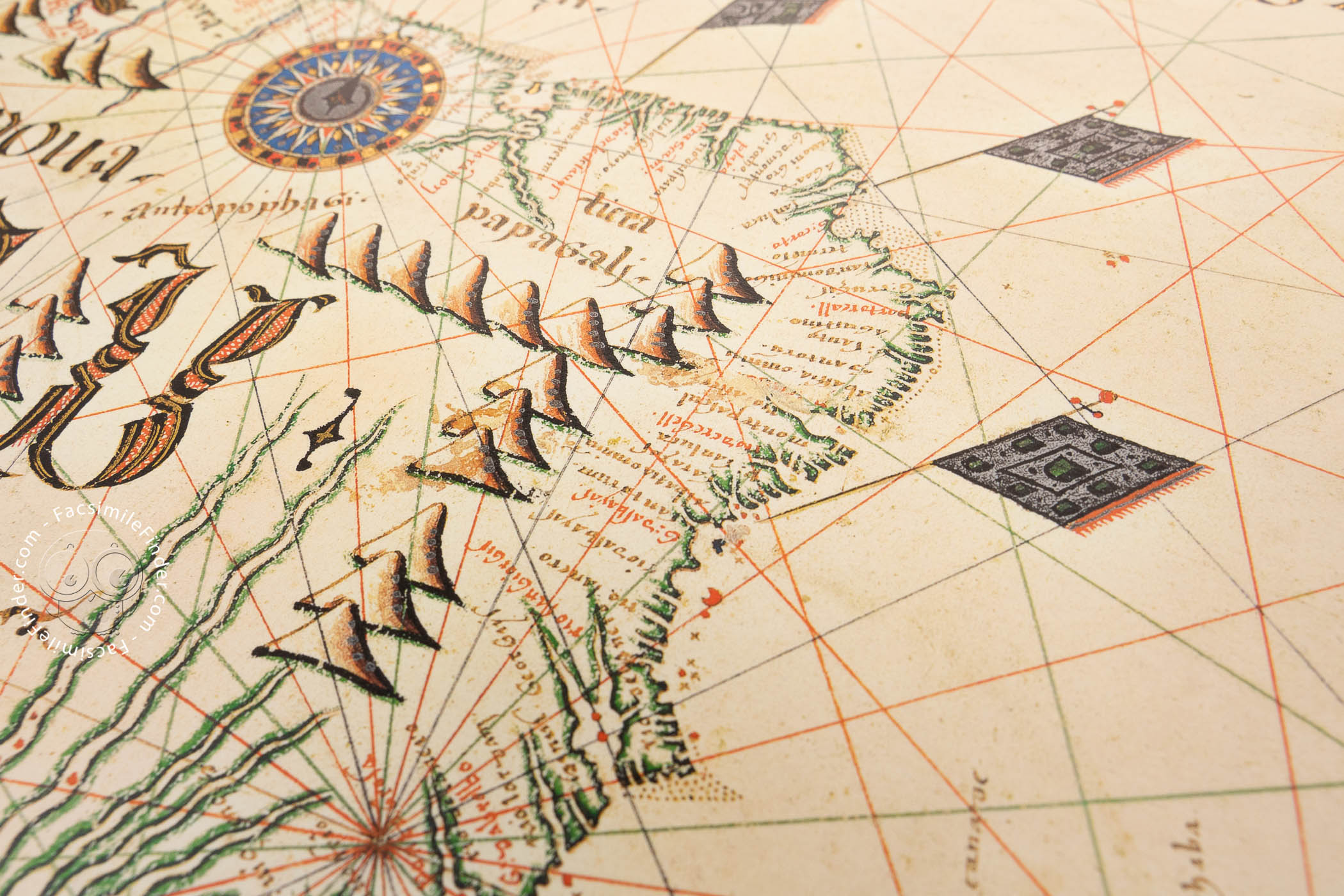
Flags along the eastern coast of Central and South America testify to Castilian and Portuguese claims to territories. North America is described as Asia Orientalis (Eastern Asia), where the territories of Labrador (Bacallareum regio) and Florida are labeled.
A Hierarchy of Scripts
The place names hugging the coastlines are written in a late version of Gothic Hybrida, but the names of oceans, seas, and continents are written in display scripts derived from Gothic Textualis. The largest word on the map, PERU, is written in calligraphic cadelles.
Giorgio Sideri, Mediterranean Cartographer
Sideri was born in Candia (Crete), where he produced a six-sheet atlas in 1537. He spent most of his career in Venice, producing a series of maps there between 1541 and 1565, many for noble patrons.
Sideri's 1550 chart was among the works of art, books, prints, curiosities, weapons, and manuscripts in the collection of Teodoro Correr (1750-1830), a bequest that established the museum that bears his name as the first public museum in Venice.
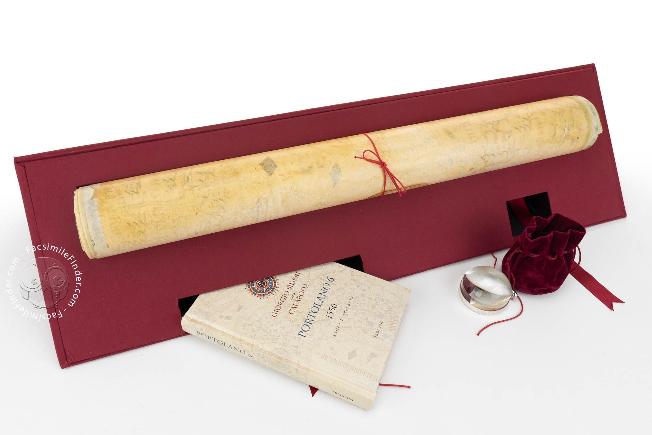
We have 1 facsimile edition of the manuscript "Portolan Chart 6 by Giorgio Sideri": Portolano 6 di Giorgio Sìderi Detto Calapodà facsimile edition, published by Istituto dell'Enciclopedia Italiana - Treccani, 2016
Request Info / Price