
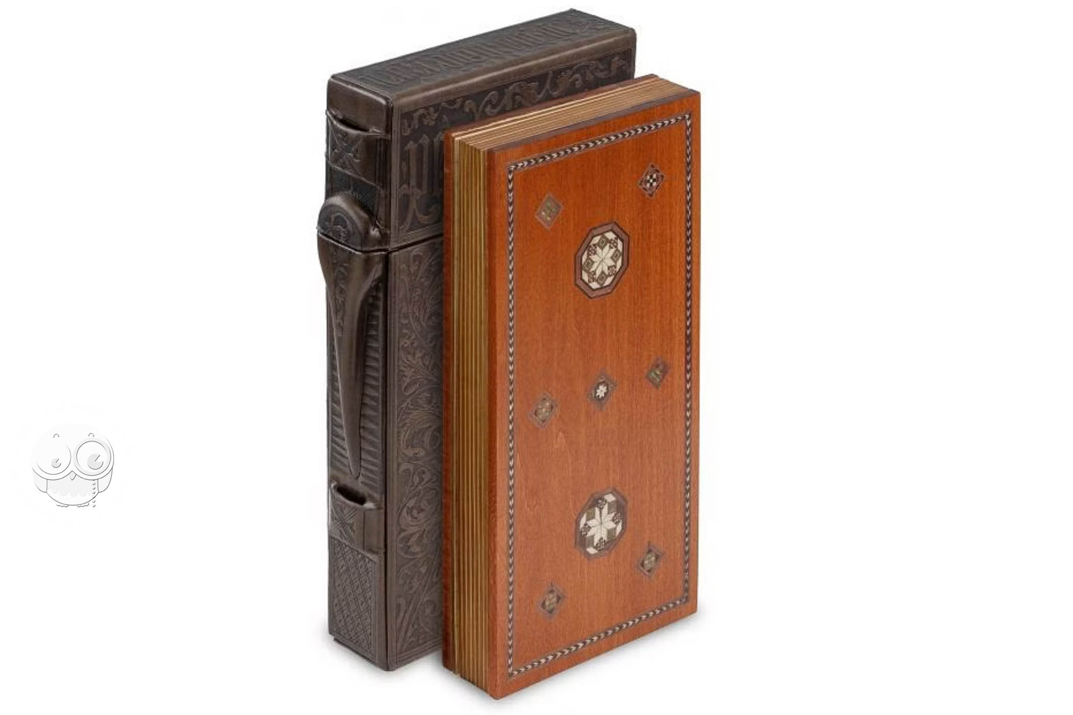
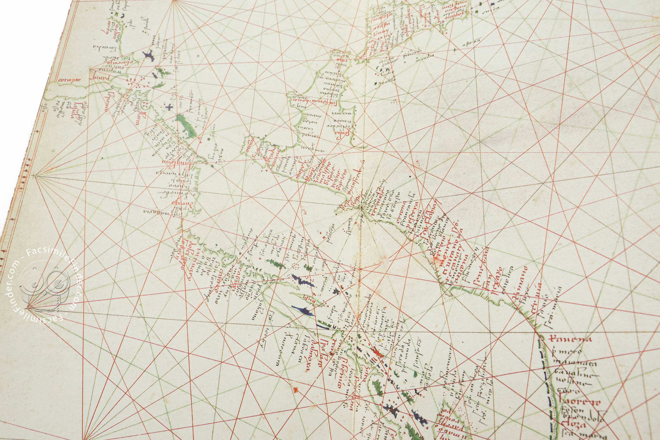
Made in Venice around 1400, the Douce Atlas is a remarkable collection of seven nautical maps and two luminous and elegantly painted diptychs mounted on wooden boards and bound together as an atlas in codex form. The maps depict the coastlines of the Black Sea, the Mediterranean Sea, and the eastern Atlantic Ocean. The maps and the figural paintings on Christian subjects extend across two pieces of wood. The paintings are attributed to Niccolò di Pietro, who was active as a panel and fresco painter.
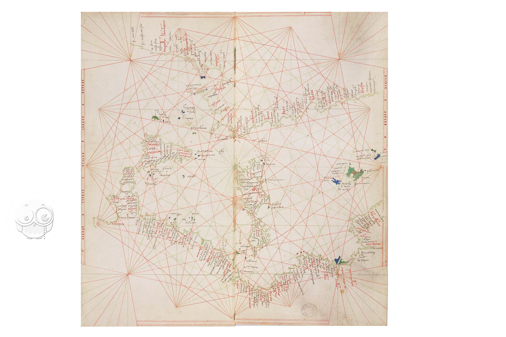
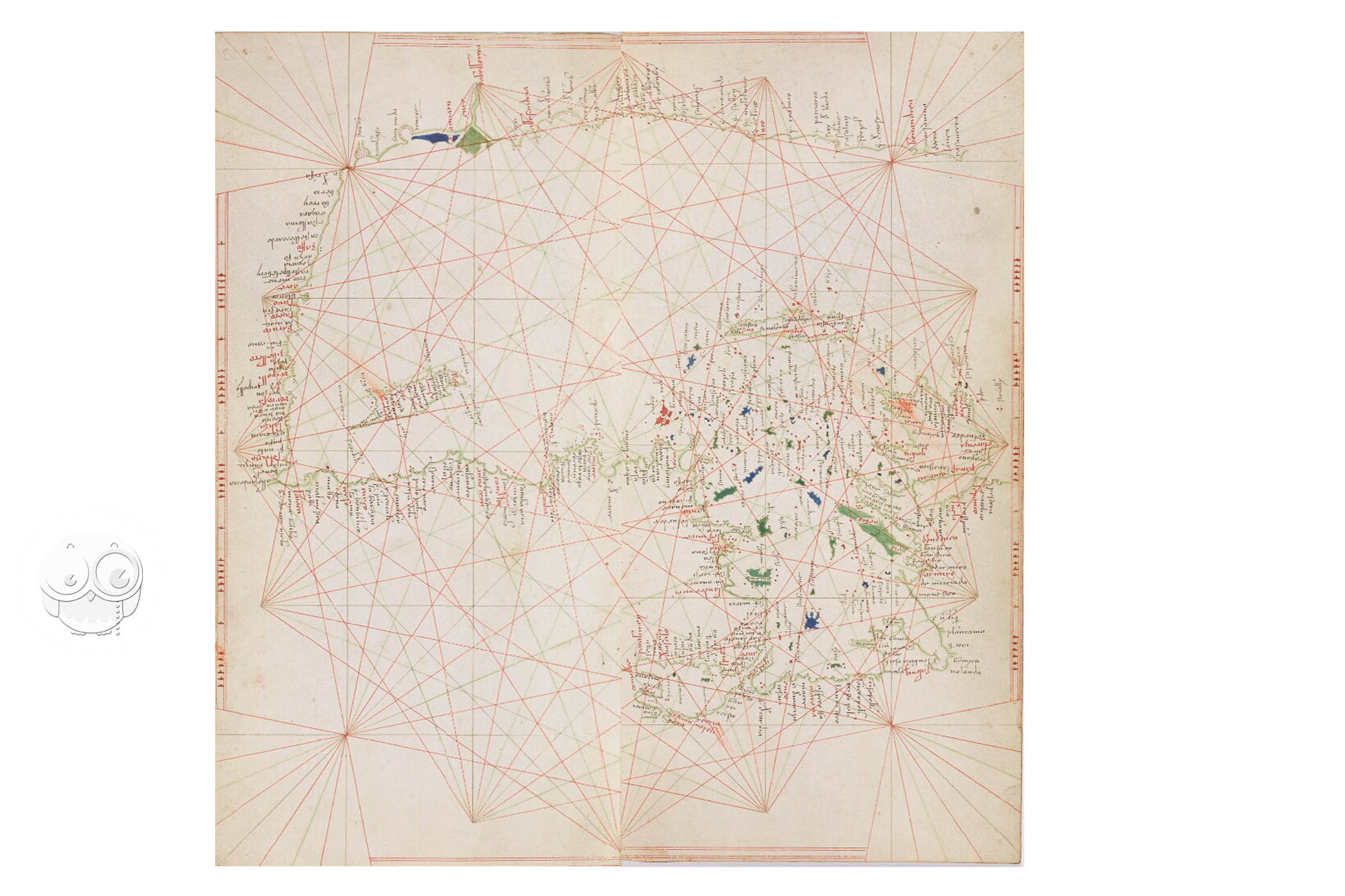
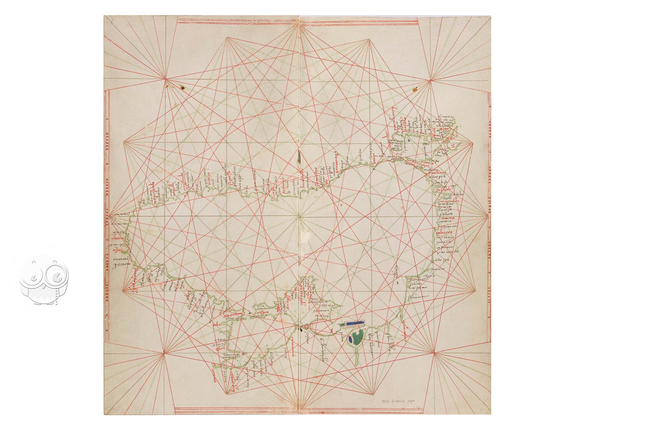
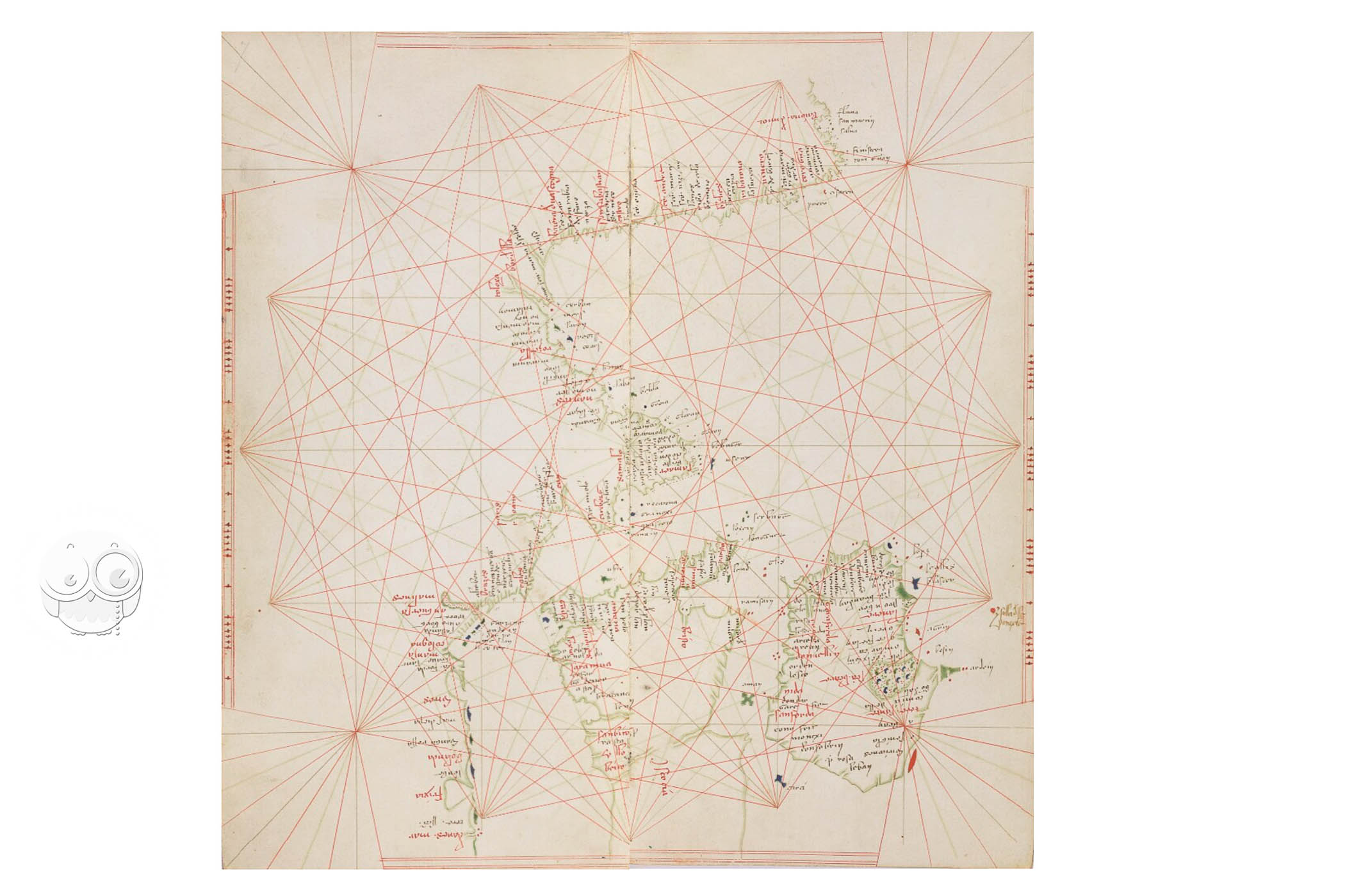
As is customary on portolan charts, coastal landmarks are labeled with the writing always perpendicular to the coastline extending inland. The most important are written in red. The maps all feature compass roses with radiating rhumb lines—paths with constant bearings relative to magnetic north.
A Unique Object
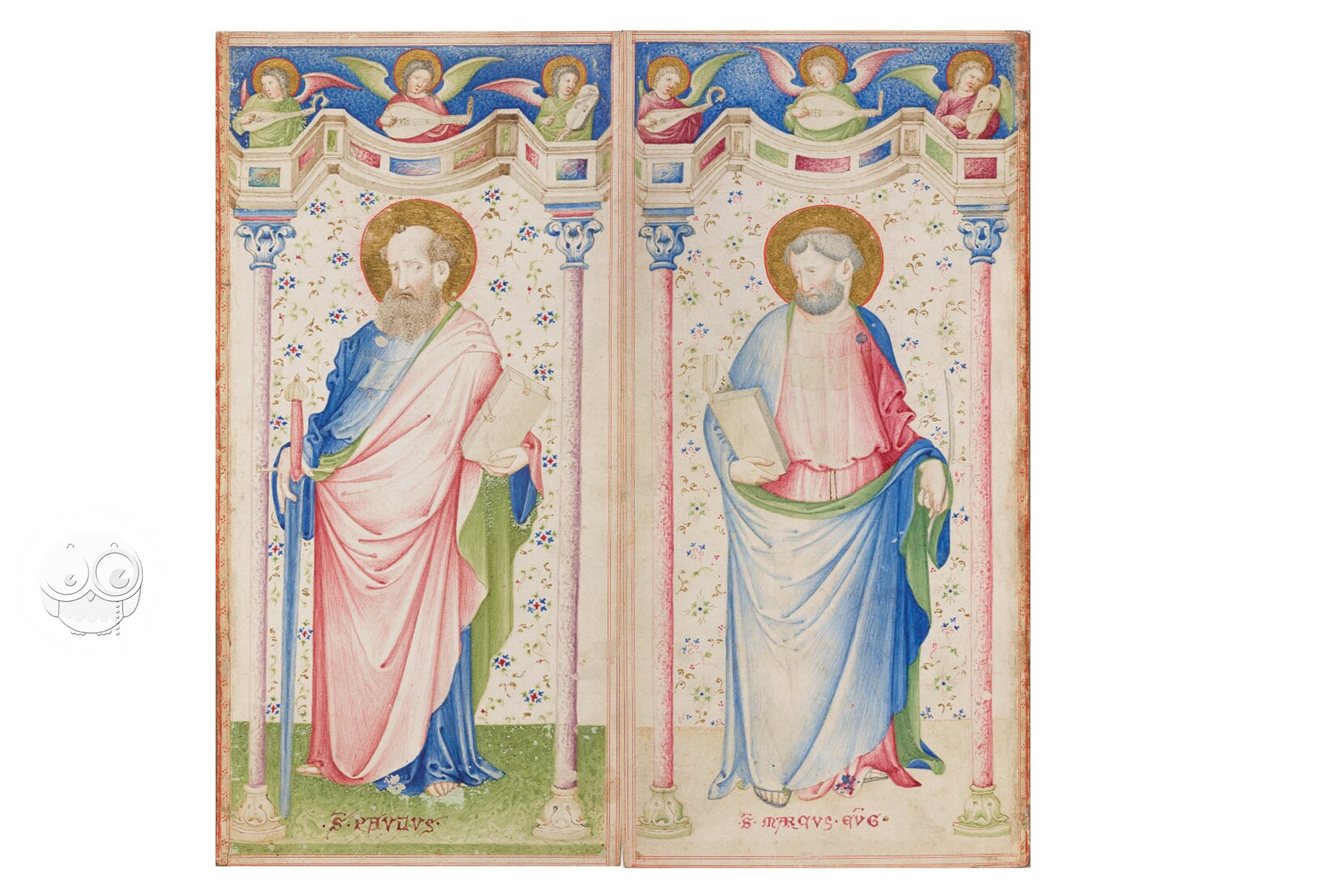
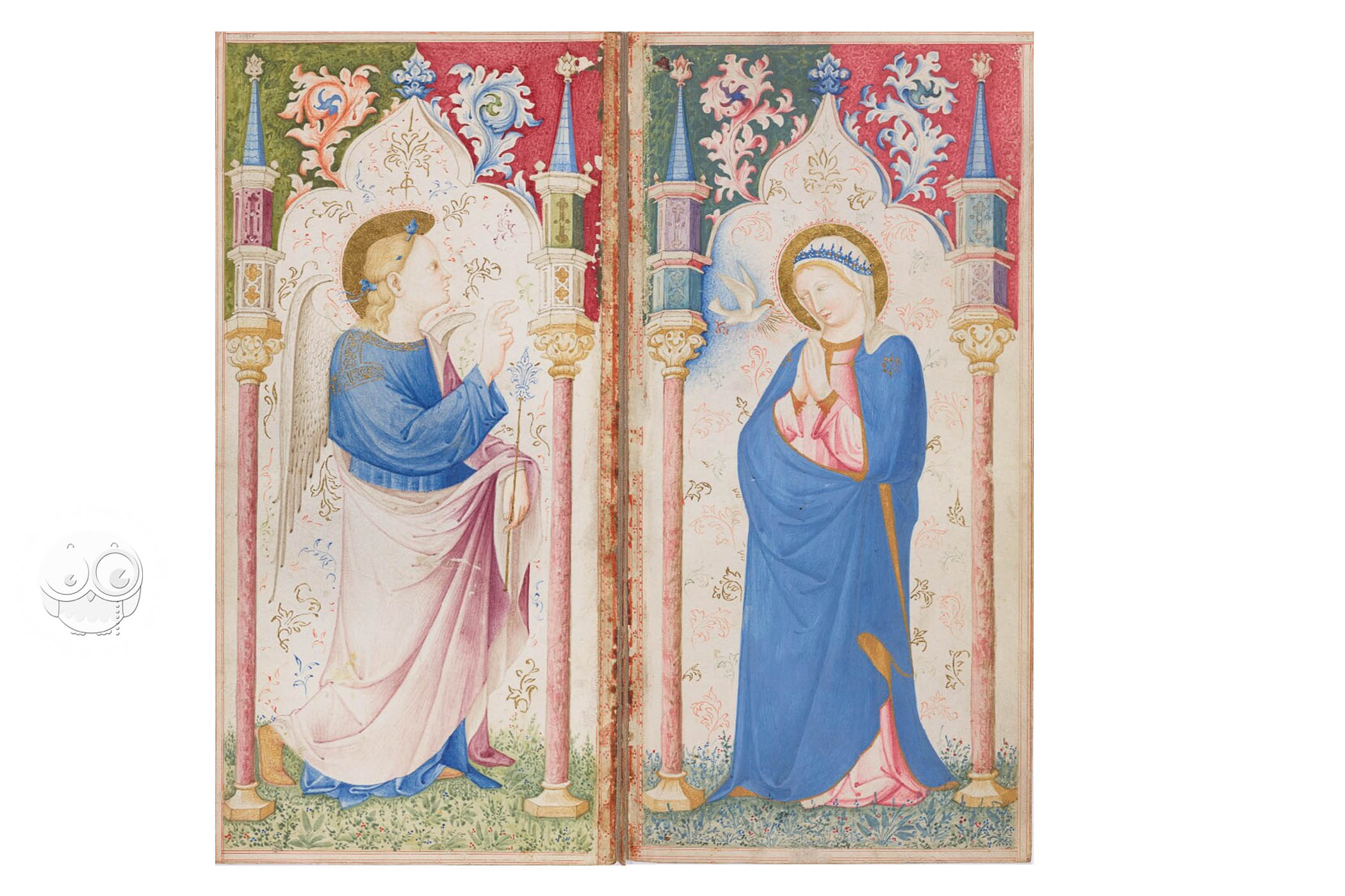
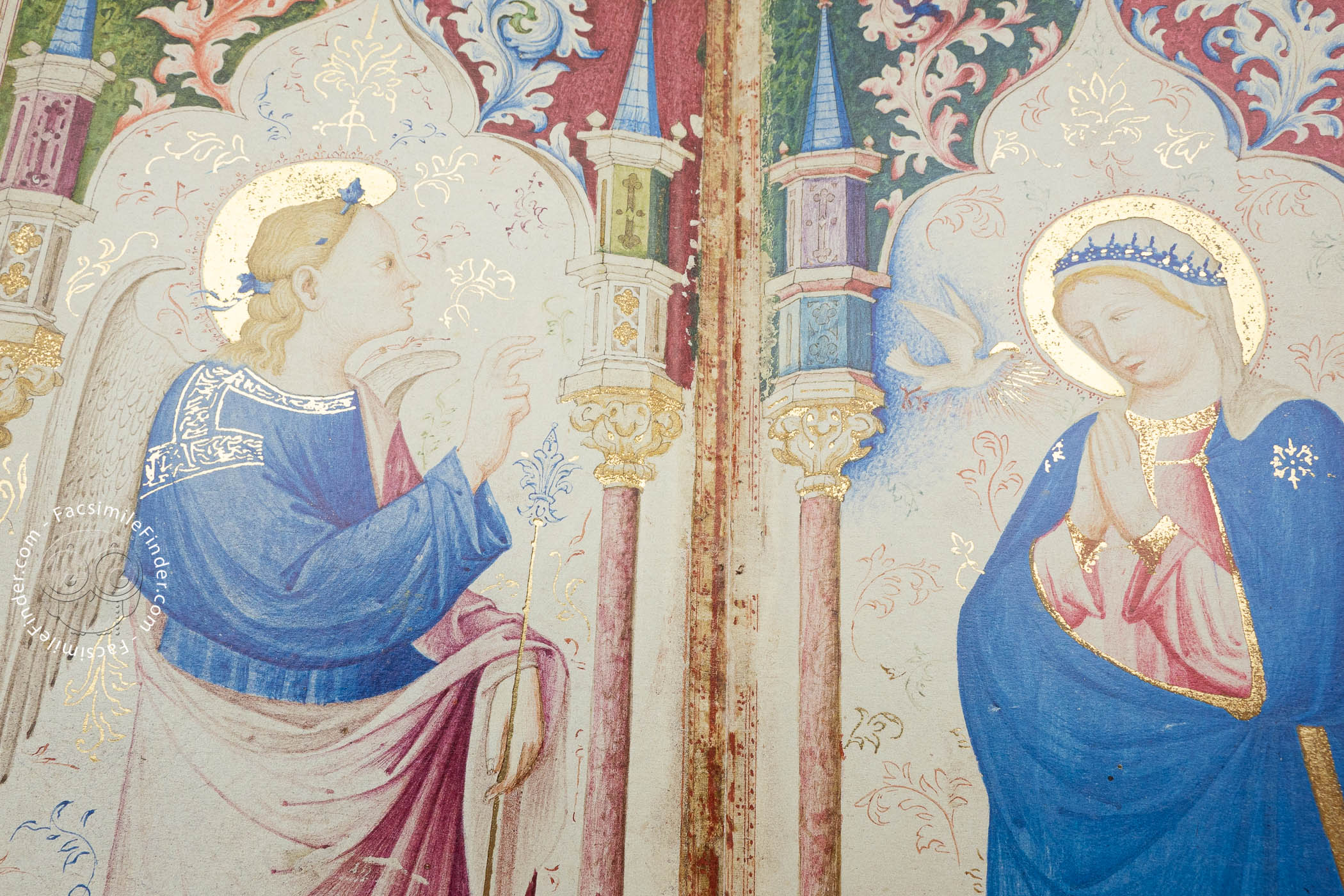
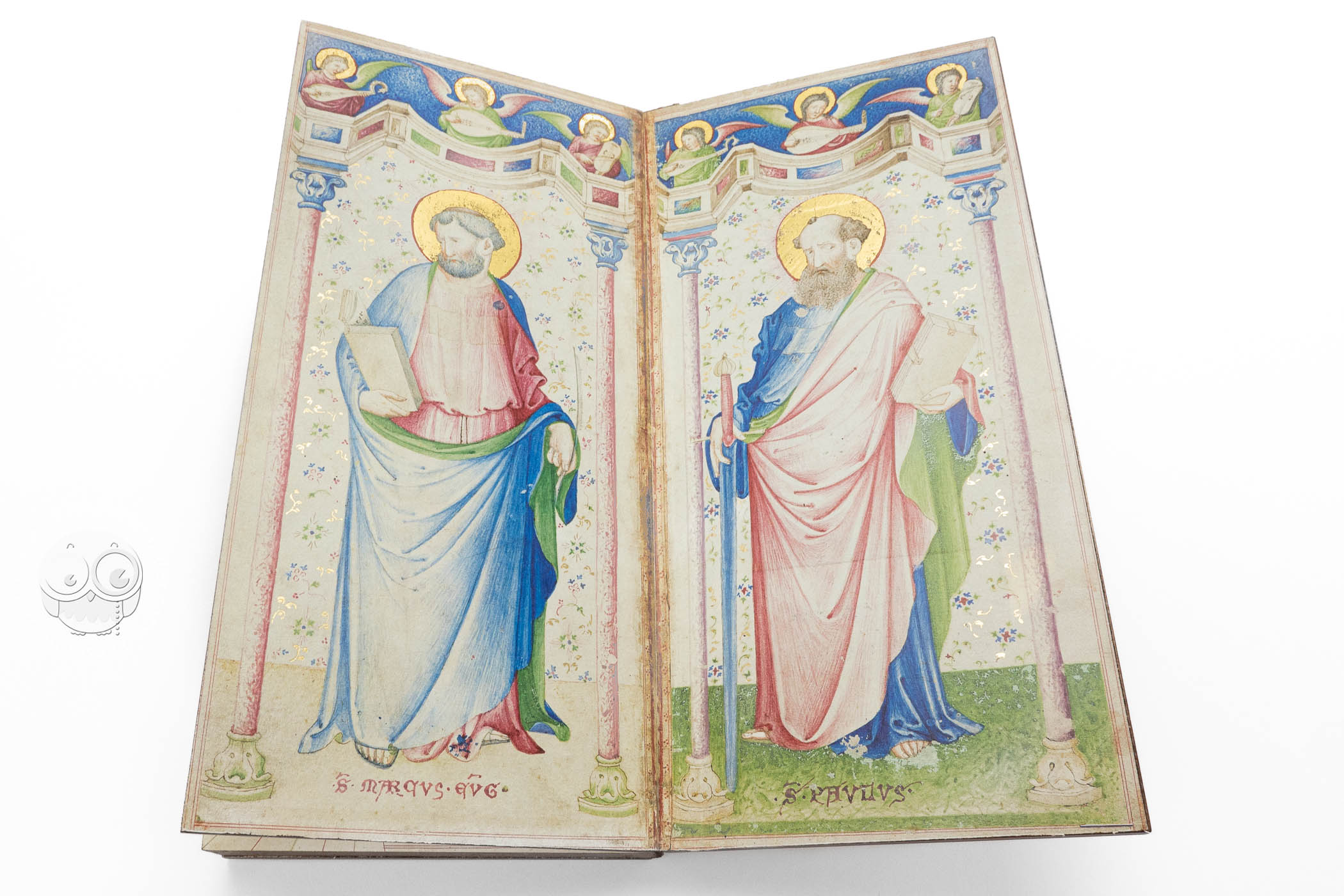
Although contemporary nautical charts—especially those made in Venice—often incorporate Christian devotional imagery, the Douce Atlas is the only surviving atlas to include full-page devotional pictures. The diptych that opens the manuscript depicts the Annunciation to the Virgin, with the archangel Gabriel on the left-hand page and the Virgin Mary approached by the dove of the Holy Spirit at the right (fols. 1v-2r). The diptych at the manuscript's close presents Saint Mark the Evangelist and Saint Paul as standing figures (fols. 9v-10r).
Elegant Painting
The paintings are delicate renderings of their subjects, with passages of color generally restricted to gold halos and isolated garments. Most striking is the bright blue of Gabriel's tunic and the Virgin's cloak. Each figure is presented within fictive Gothicizing architecture. Foliate motifs top the architecture of the Annunciation, and music-making angels appear on a fictive parapet above the standing saints.
The palette of the charts themselves is restricted. The coastlines are in green, the rhumb lines in green and red. Large islands are, as is customary on portolan charts, colored: here in green, blue, violet, or red. They are otherwise unadorned.
Focus on the Mediterranean
At the heart of the series of seven charts are five devoted to the coastlines of the Mediterranean Sea. The entire suite of maps may be based on maps created by Pietro Vesconte. One of his atlases, now in the Bibliothèque municipale de Lyon (MS 175), is similar in format and shares several textual details with the Douce Atlas.
Focus on the Adriatic and Venice
The inclusion of Saint Mark, the patron saint of Venice and an unusual pairing with Saint Paul, in the atlas's closing diptych points to Venice as the locus for its creation and consumption. The central map charts the Italian coastline, with special attention to the Adriatic coast, where many landmarks are written in red (fols. 5v-6r).
Beautiful Presentation
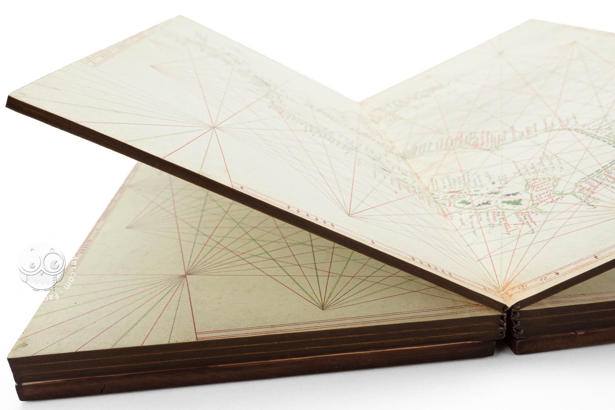
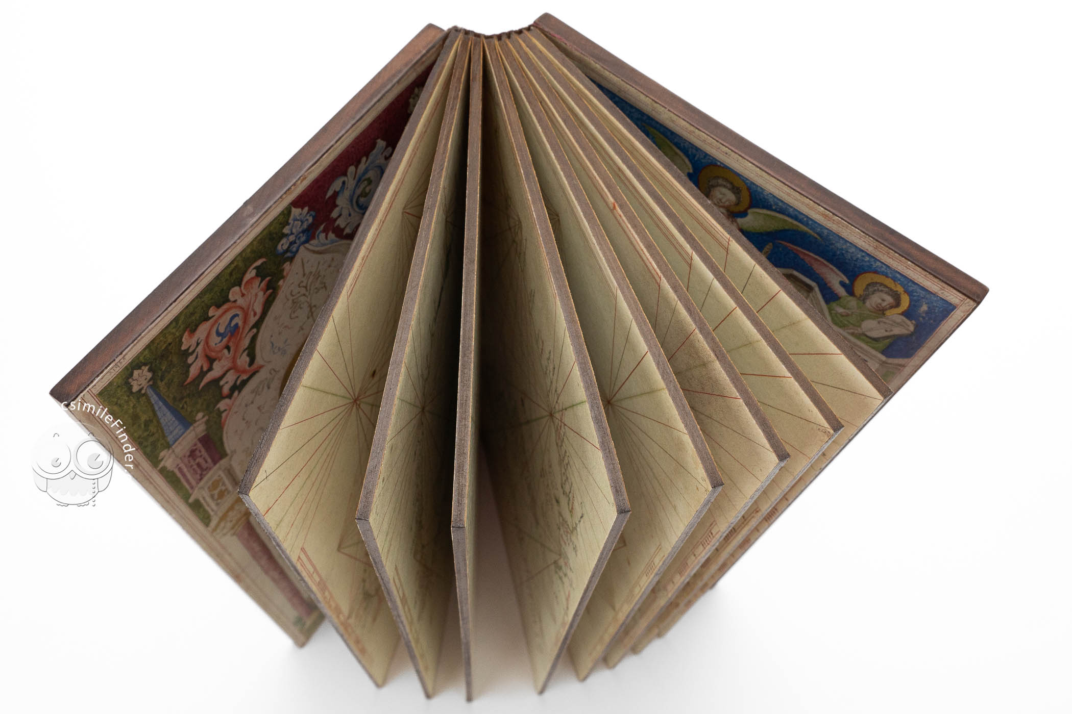
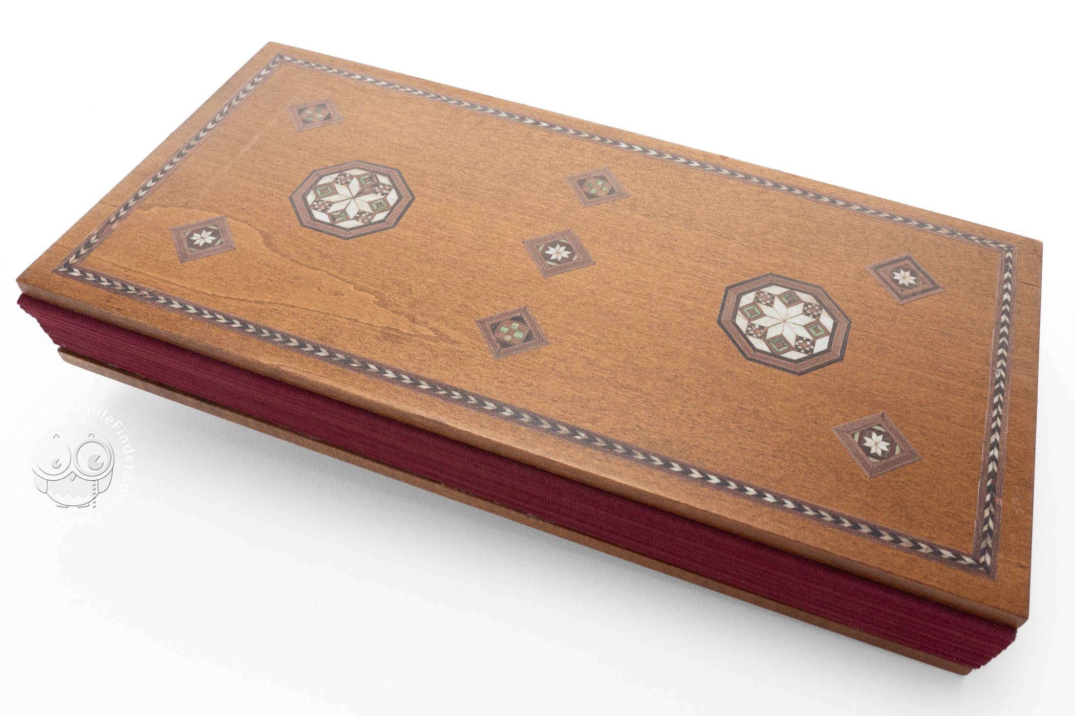
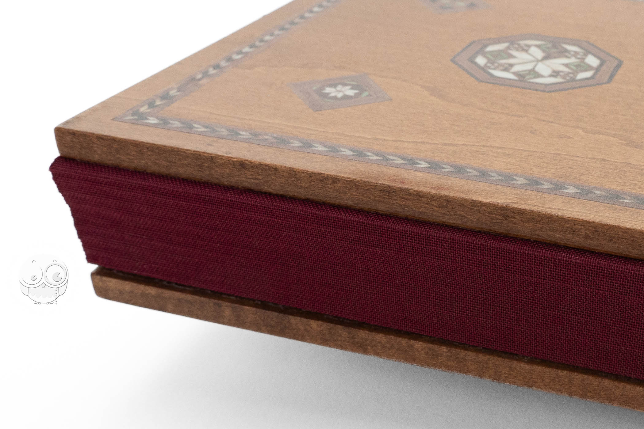
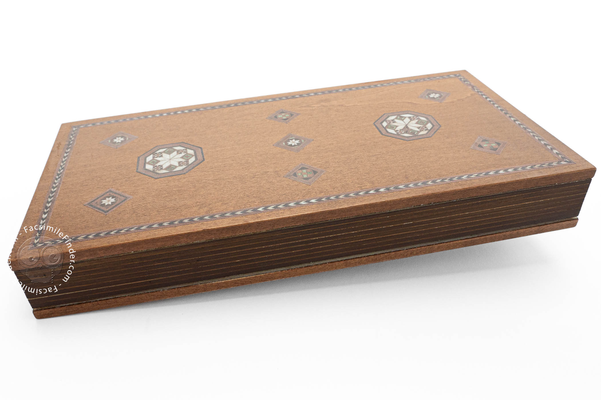
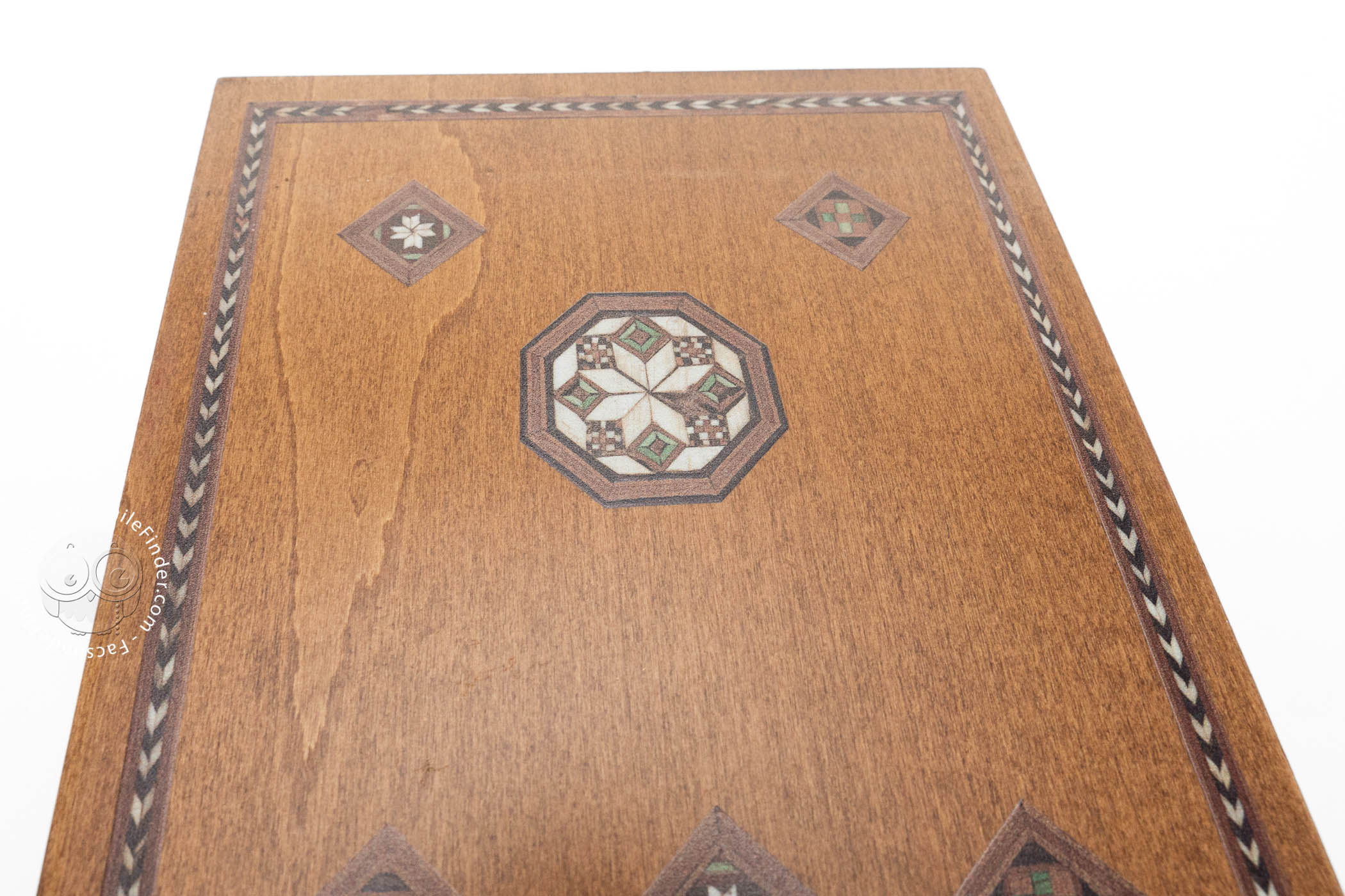
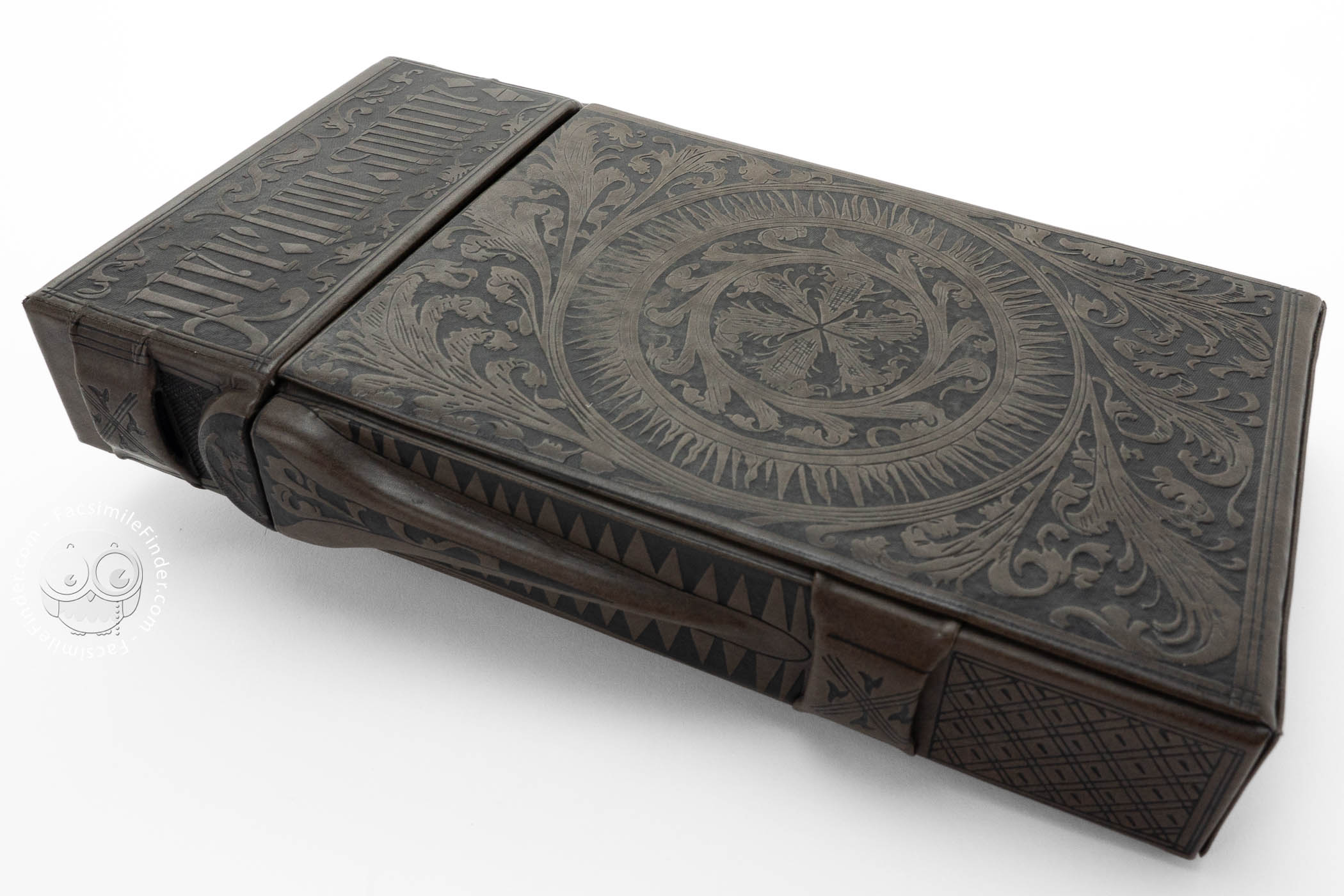
The parchment sheets of the Douce Atlas are mounted on thin wooden boards. The binding is also of wood, with delicate inlays of stained ivory and other materials in geometric patterns. The codex was preserved in a still-surviving leather-covered wooden carrying case. The leather is decorated with the cuir ciselé technique, in which portions of the leather are carved out to create, in this case, floral designs and text.
From the Library of a British Antiquarian
The manuscript was bequeathed to the Bodleian Library by Francis Douce (1757-1834) with his other books, manuscripts, prints, and drawings.
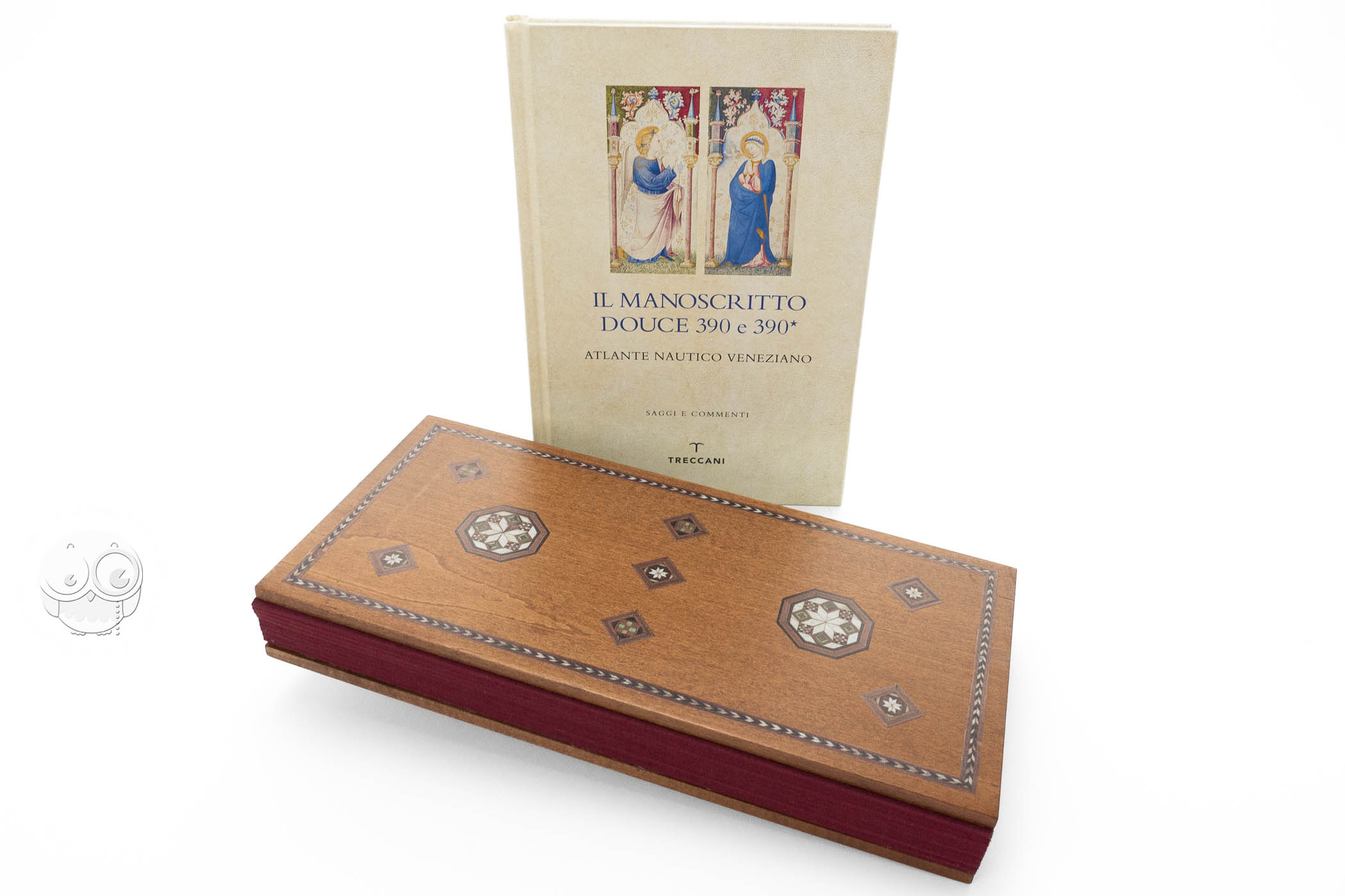
We have 1 facsimile edition of the manuscript "Douce Atlas": Manoscritto Douce 390 e 390*. Atlante Nautico Veneziano facsimile edition, published by Istituto dell'Enciclopedia Italiana - Treccani, 2022
Request Info / Price