
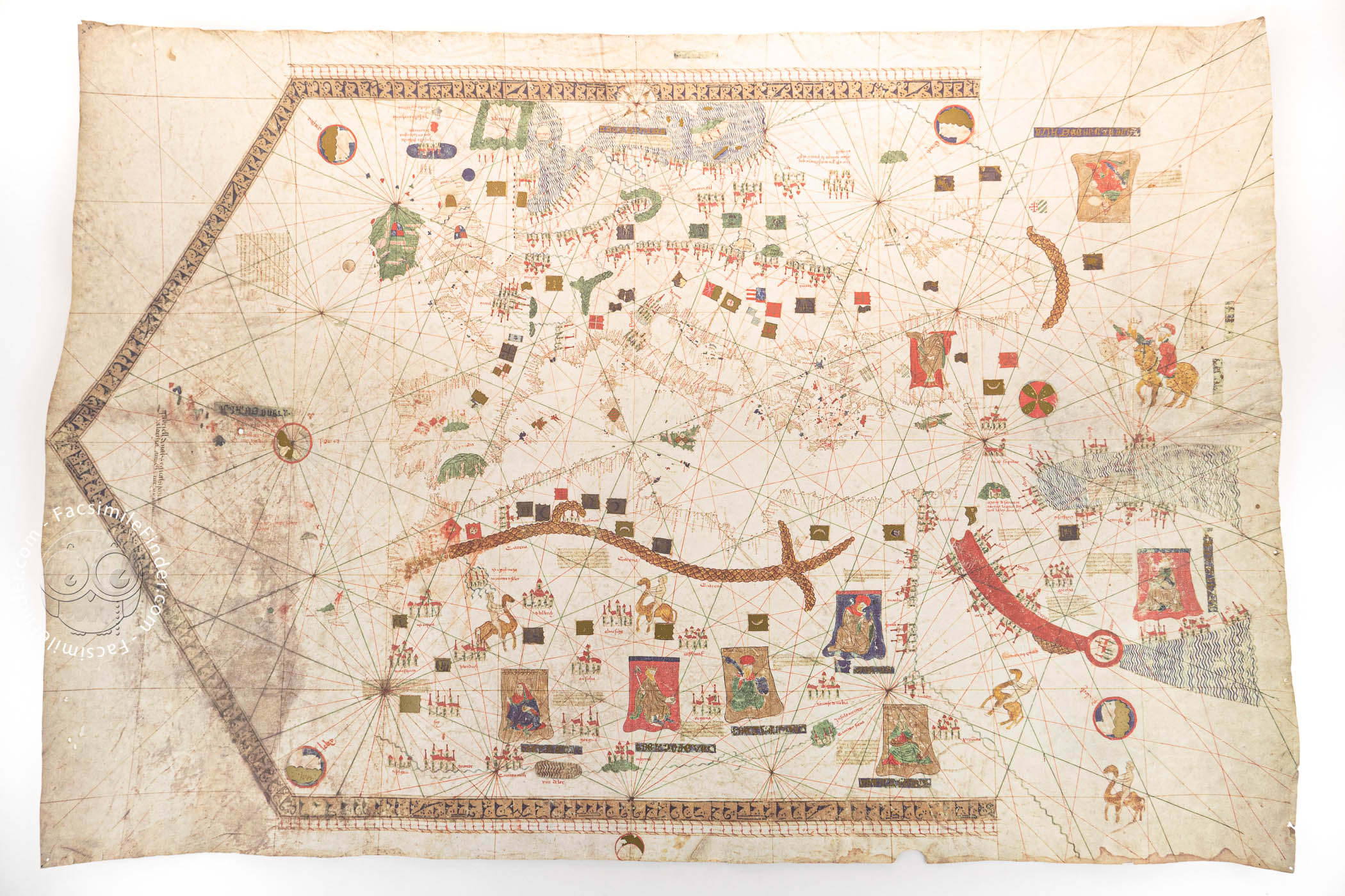


This manuscript chart was made by Gabriel de Vallseca in the tradition of the Majorcan School of cartography. Dated 1439 and made on Majorca, it depicts the Mediterranean basin and adjacent regions and features abundant illustrations and texts. It combines aspects of the practical nautical charts of the day with features of medieval Christian mappae mundi.
The chart includes 1,850 place names and is the earliest surviving map on which the nine islands of the Azores archipelago, first being settled by the Portuguese at the time the map was made, are represented accurately (or nearly so). It is unusual for its two scales, which appear at the top and the bottom and extend nearly the whole width of the map.
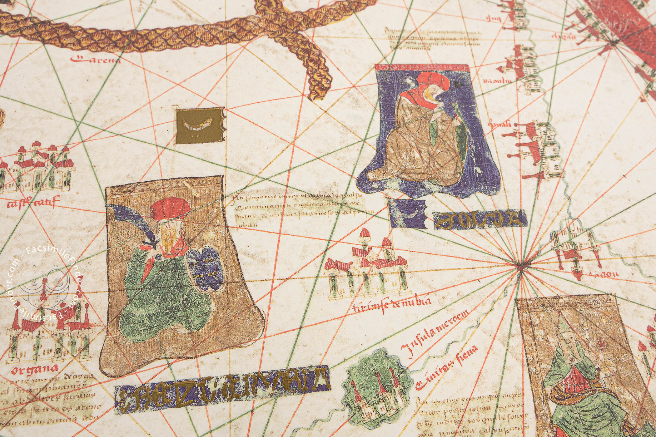
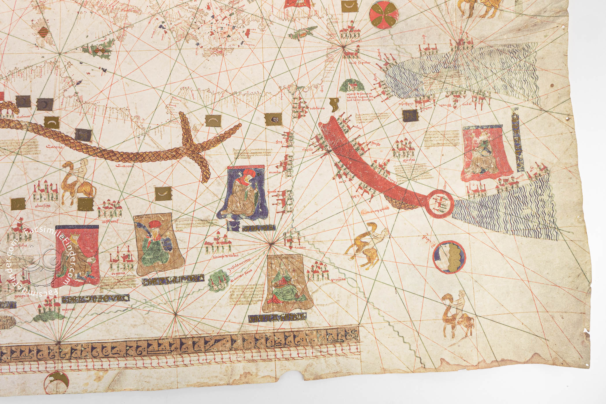
A Combination of Art and Cartography
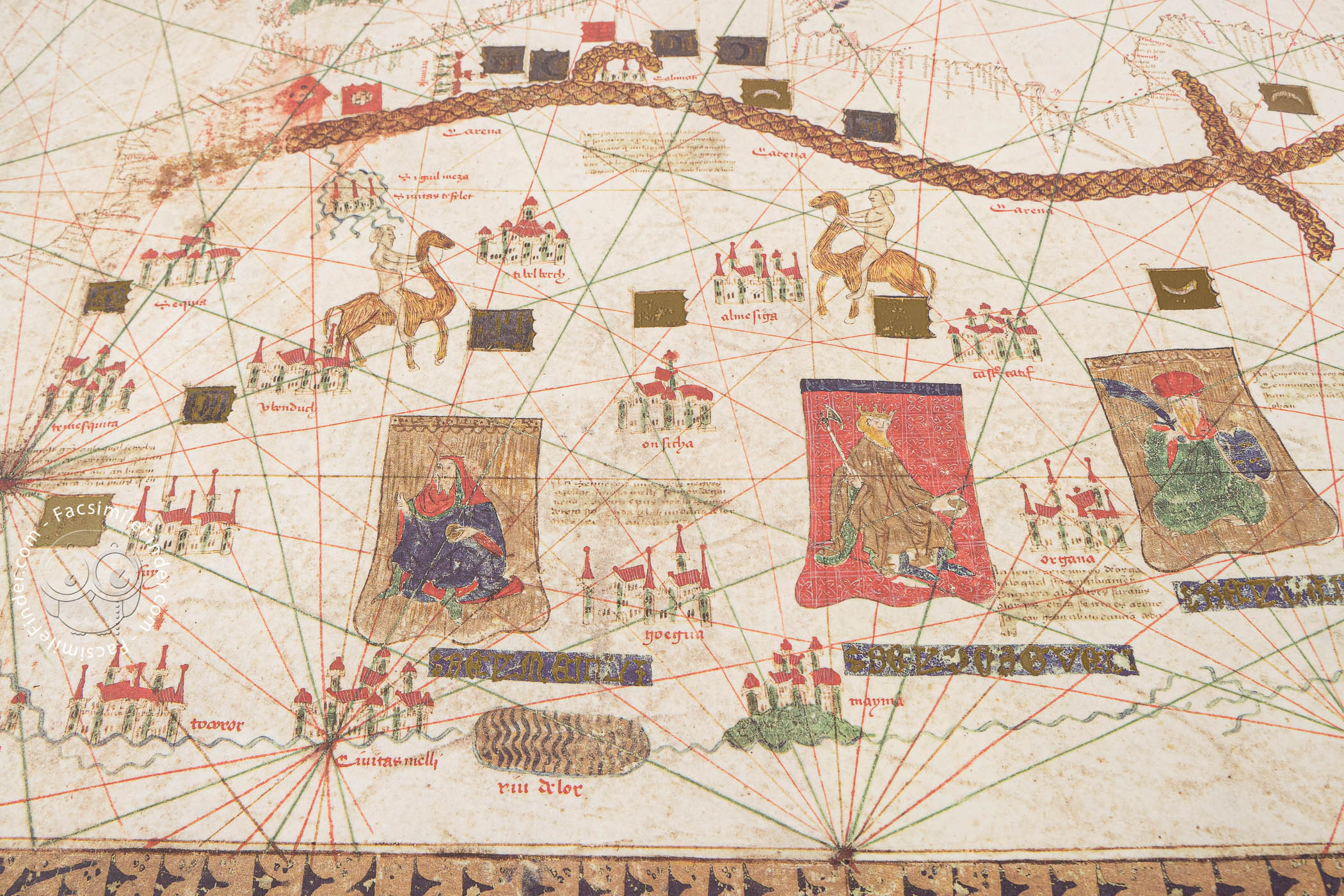
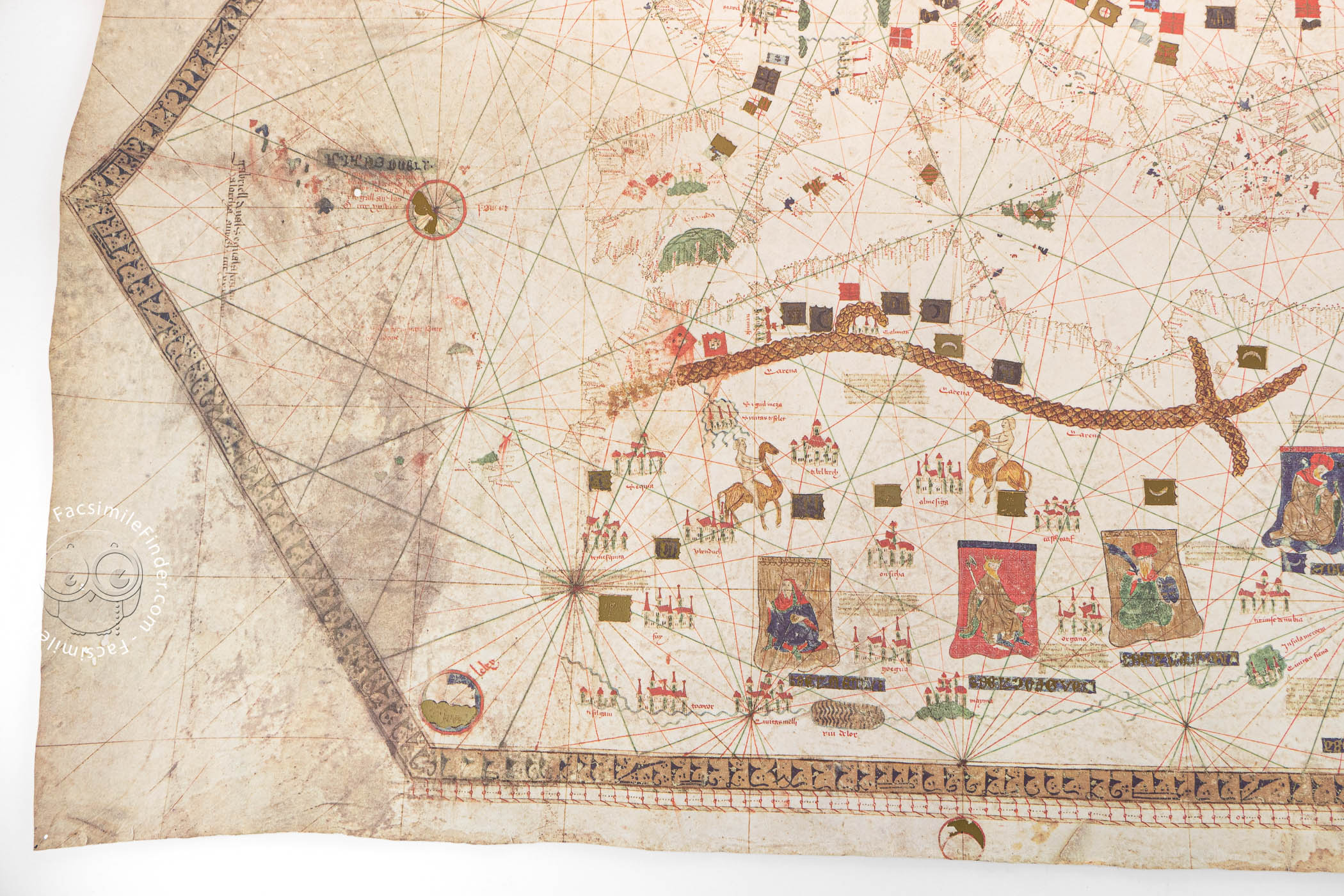
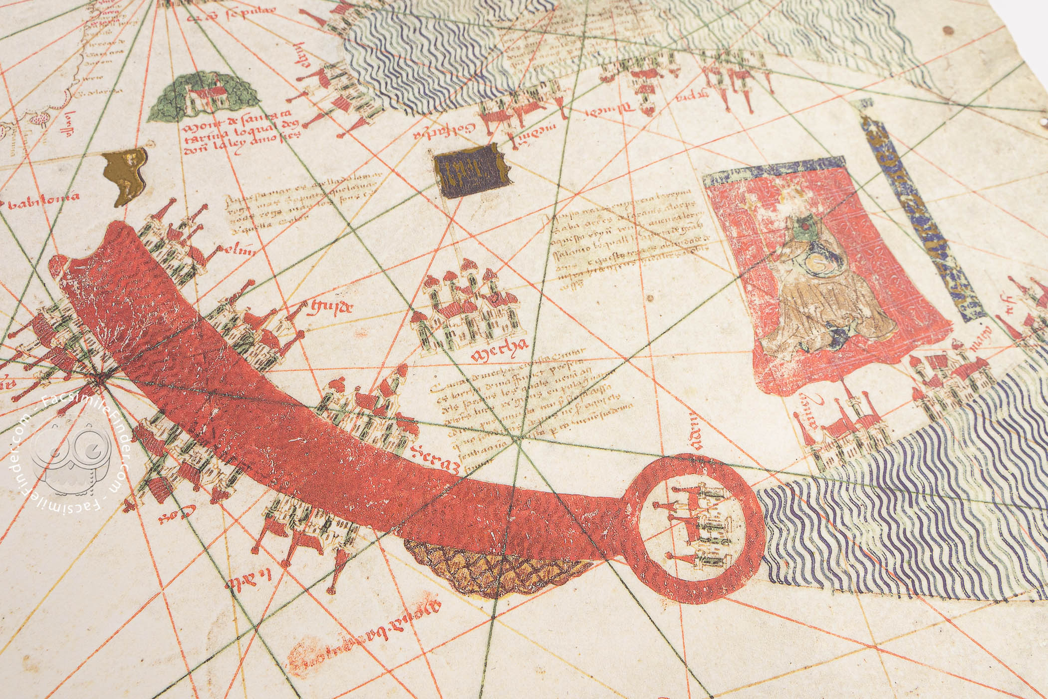
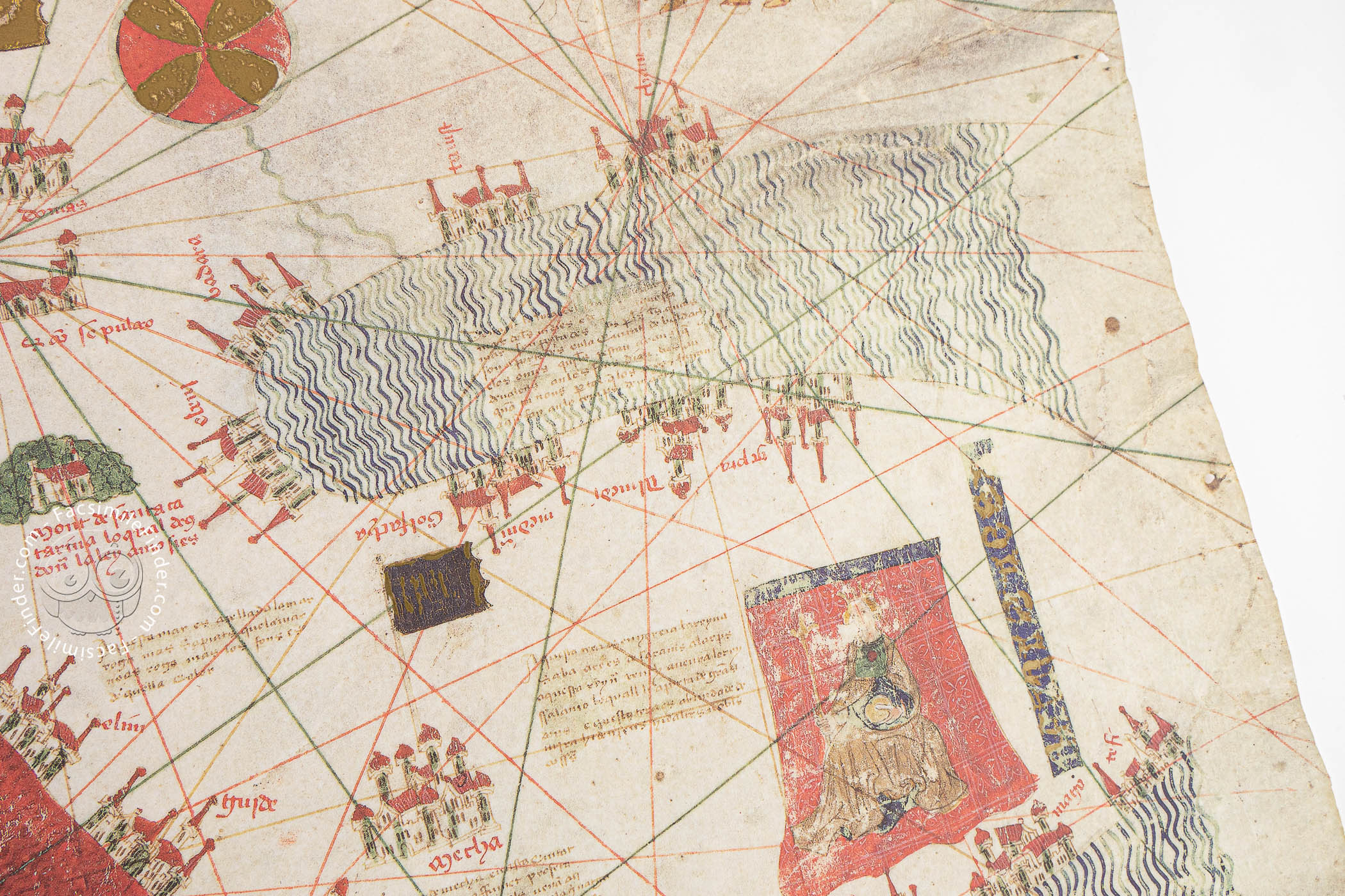
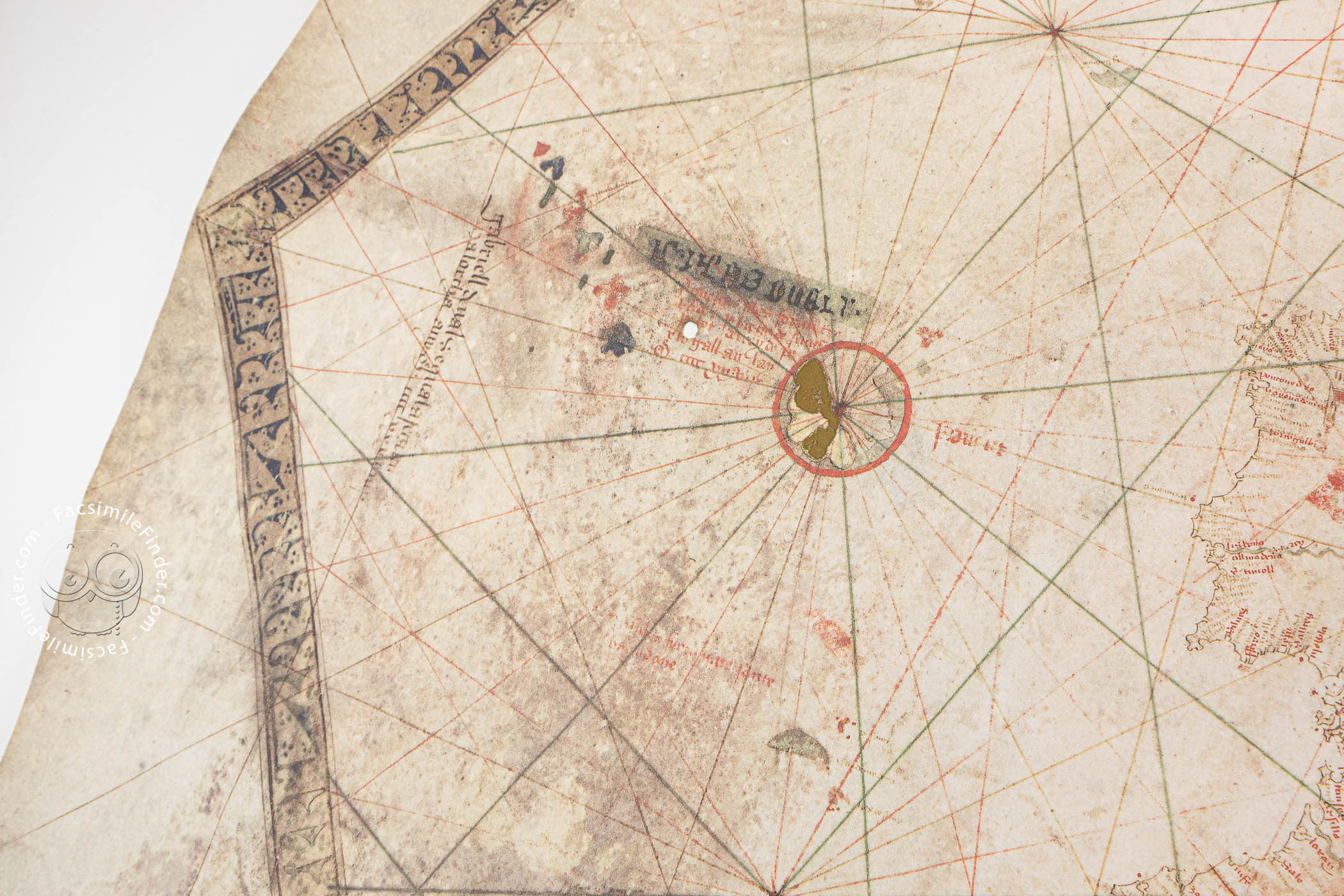
Vallseca's signature appears at the left edge of the map, which was surely intended to impress by its elaborate painted decoration. Rectangular flags, banners with pointed ends, and coats of arms indicate sovereignties. Dozens of cities in Europe, Africa, and Asia are represented as stylized groupings of buildings. A pair of naked camel riders is shown just south of the Atlas Mountains, which are boldly colored in brown. A decorative border of blue and gold seems to imitate Arabic script.
Features in the Mappa Mundi Tradition
Among the vignettes reflecting the long tradition of medieval mapmaking are the kings in Africa and Asia—including Prester John, a legendary Christian king of a land far from Europe—shown seated on cushions and, in Asia, the three wise men described in the Gospel of Matthew making their way to Bethlehem. Also traditional is the red coloration of the Red Sea.
Narrative Descriptions
Vallseca's map is remarkable for its textual contents as well as its painting. There are many place names, mostly hugging the Mediterranean and all written perpendicular to the coast so that the coastlines are never obscured. It also includes anecdotes about depicted places and people. For example, the inscription in the Persian Gulf reports that the pearl hunters there cast spells to disperse the fish before diving.
A Near Calamity
The brown stain visible at the Canary Islands and the Azores has an interesting history reported by George Sand in her autobiographical A Winter in Majorca. The map was unrolled on a table, weighted by an inkwell at one of its corners, so that a group of people including Sand and the composer Frédéric Chopin could examine it. The inkwell was toppled as the map rolled itself up despite the weight, and black ink covered the surface. She reports that, as horrifying as the episode was, ultimately the damage was minimal.
A Storied Provenance
An inscription on the reverse reports that Amerigo Vespucci (1451-1512) once owned the map, but this is almost certainly spurious. Before the ink spill in 1839 reported by Sand, the map was owned by Antonio Despuig y Dameto (1745-1813), a Roman Catholic cardinal who collected map material related to his native Majorca. It passed from him into the possession of his nephew, Ramon Despuig Fortuny, and remained in the family until sold in 1910.
Following a series of transactions, it became a part of the holdings of the Biblioteca de Catalunya in 1917. After the Spanish Civil War, in 1940, that institution became the Biblioteca Central de la Diputación. In 1981, it became the national library of Catalonia, again under the name of Biblioteca de Catalunya. At present, the map is on deposit at the Museu Maratim in Barcelona.
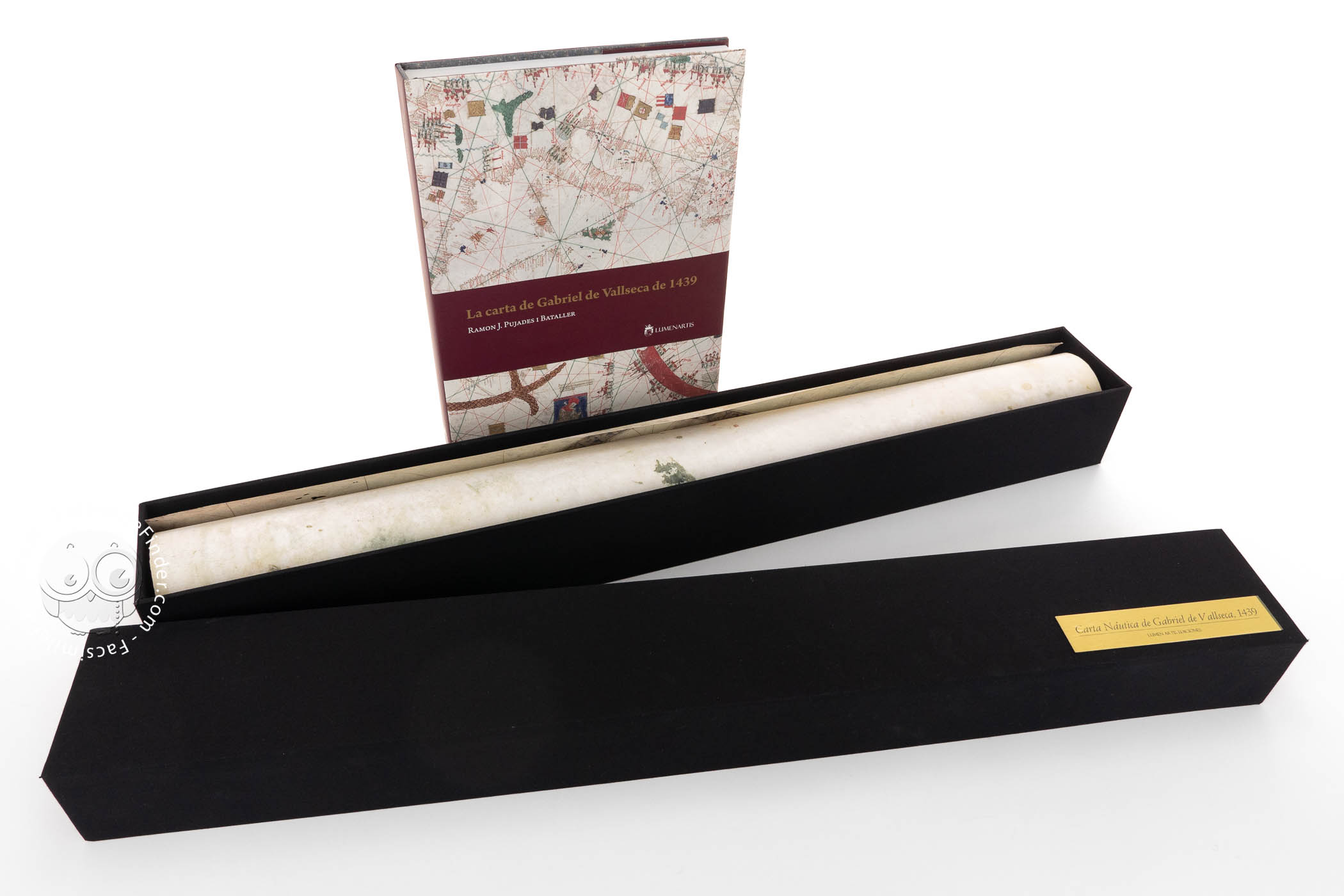
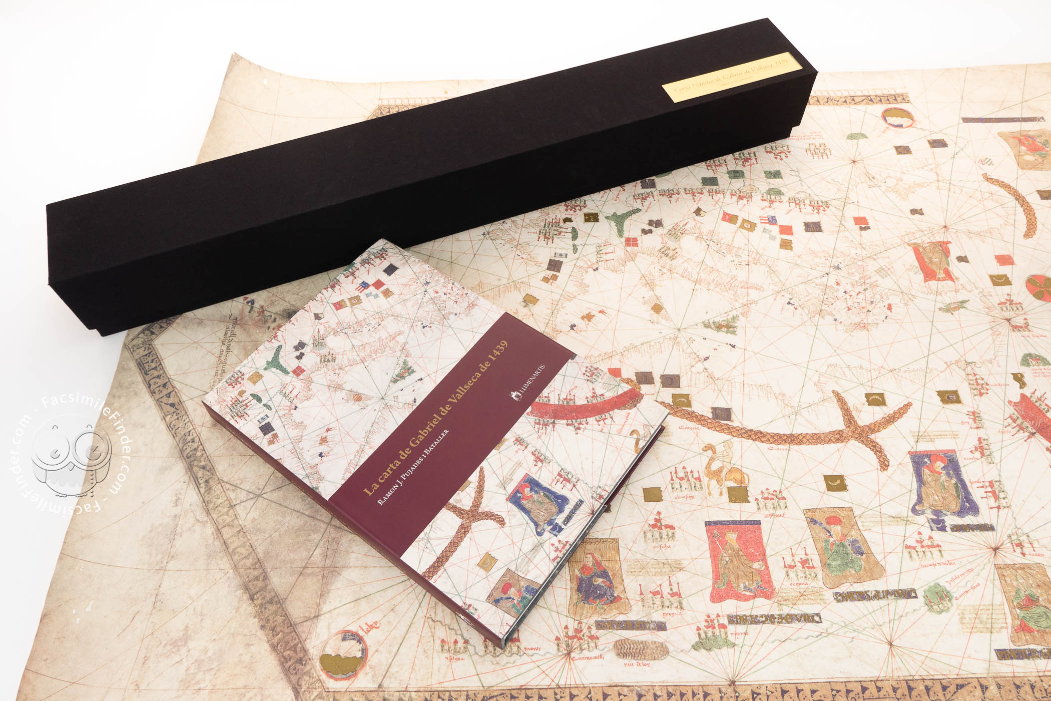
We have 1 facsimile edition of the manuscript "Nautical Chart by Gabriel de Vallseca": La Carta de Gabriel de Vallseca de 1439 facsimile edition, published by Lumen Artis, 2009
Request Info / Price