


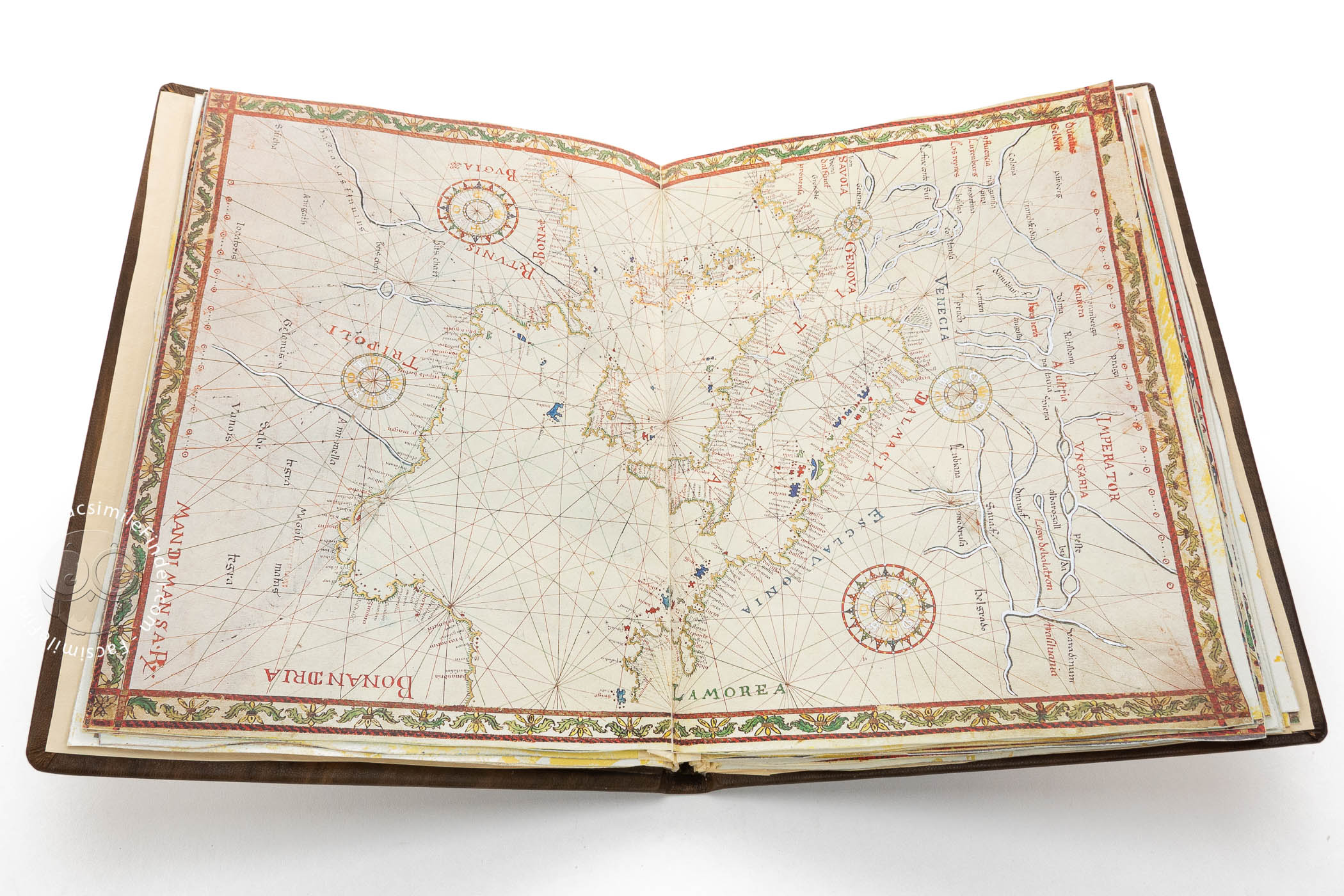
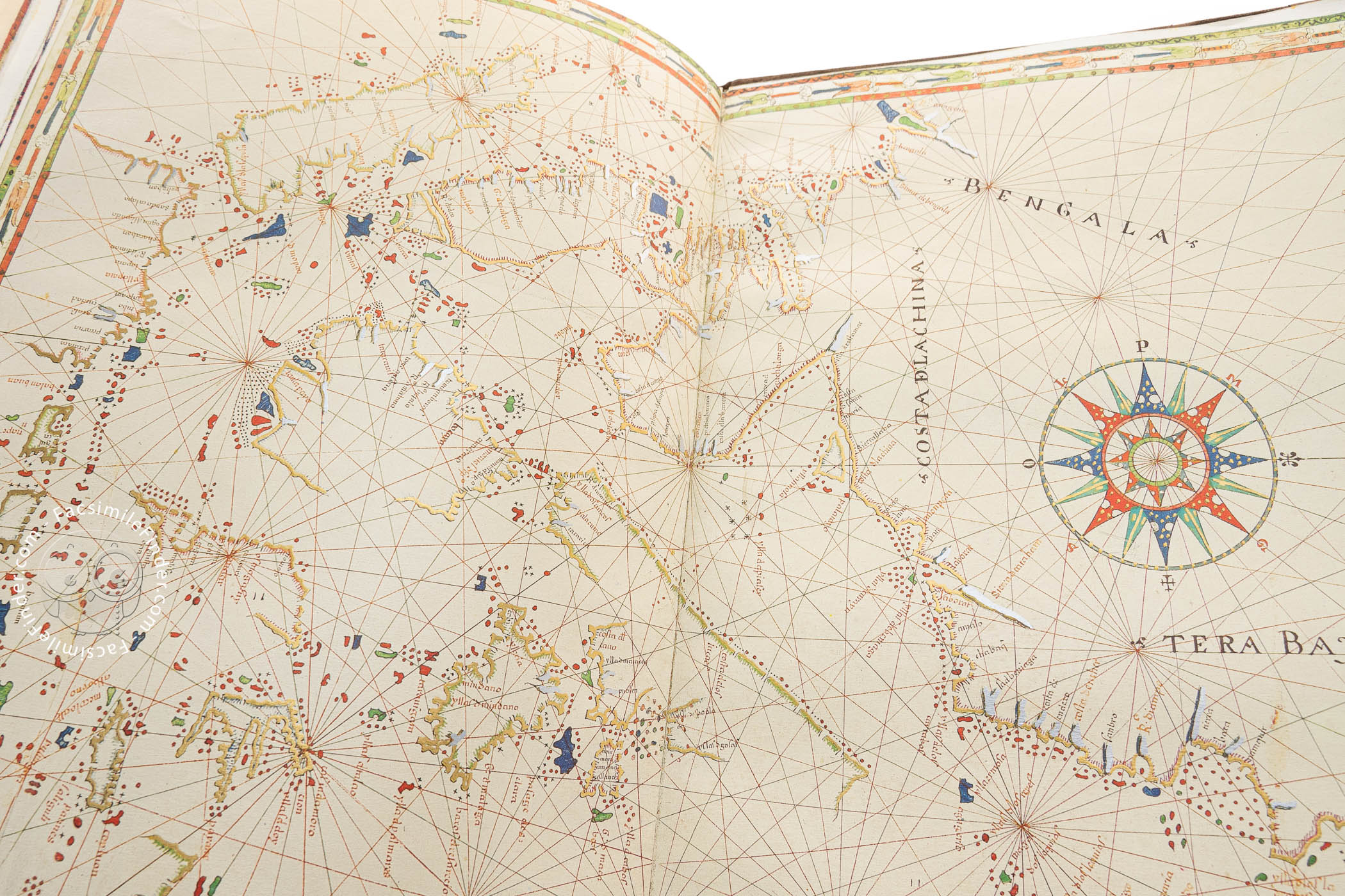

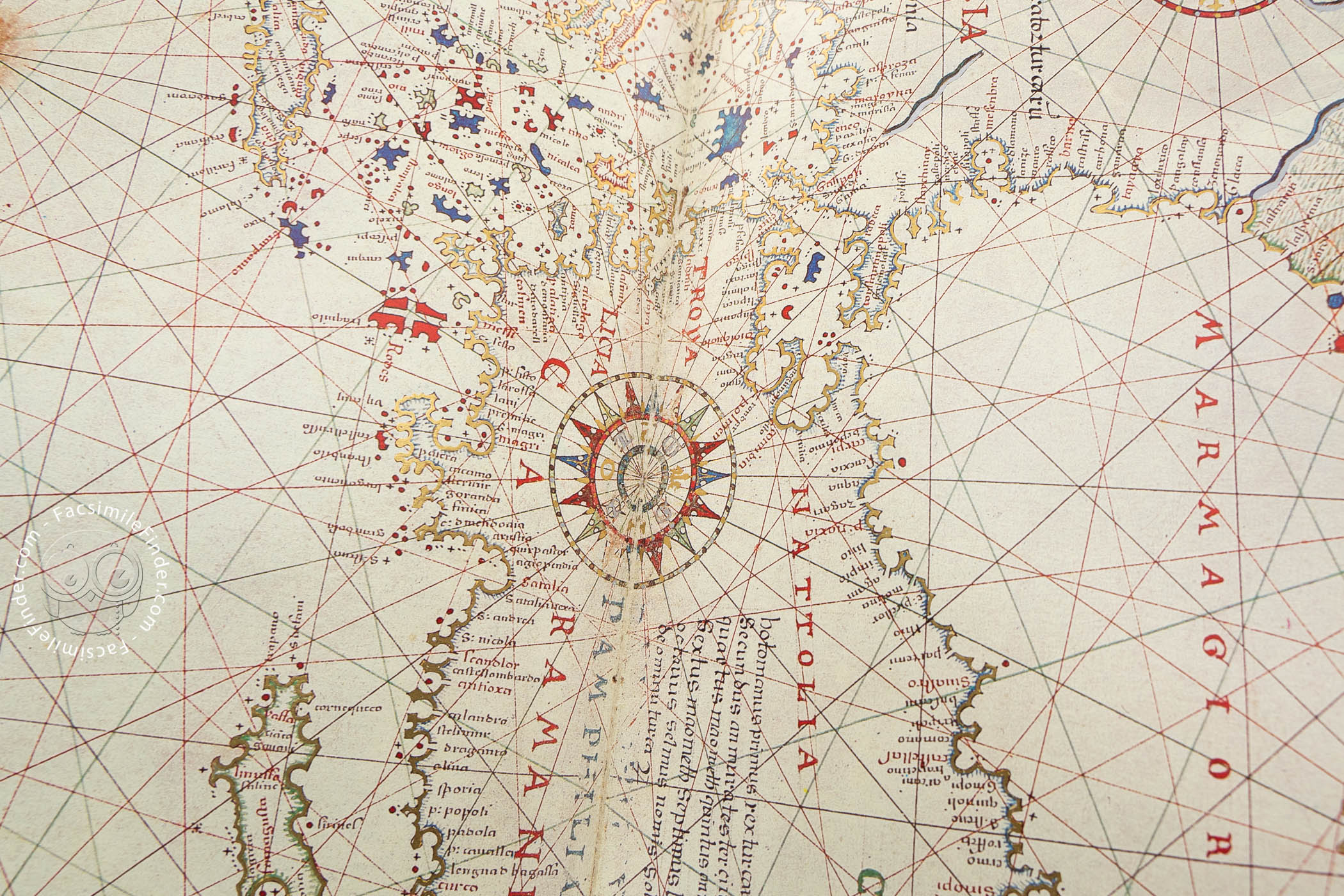
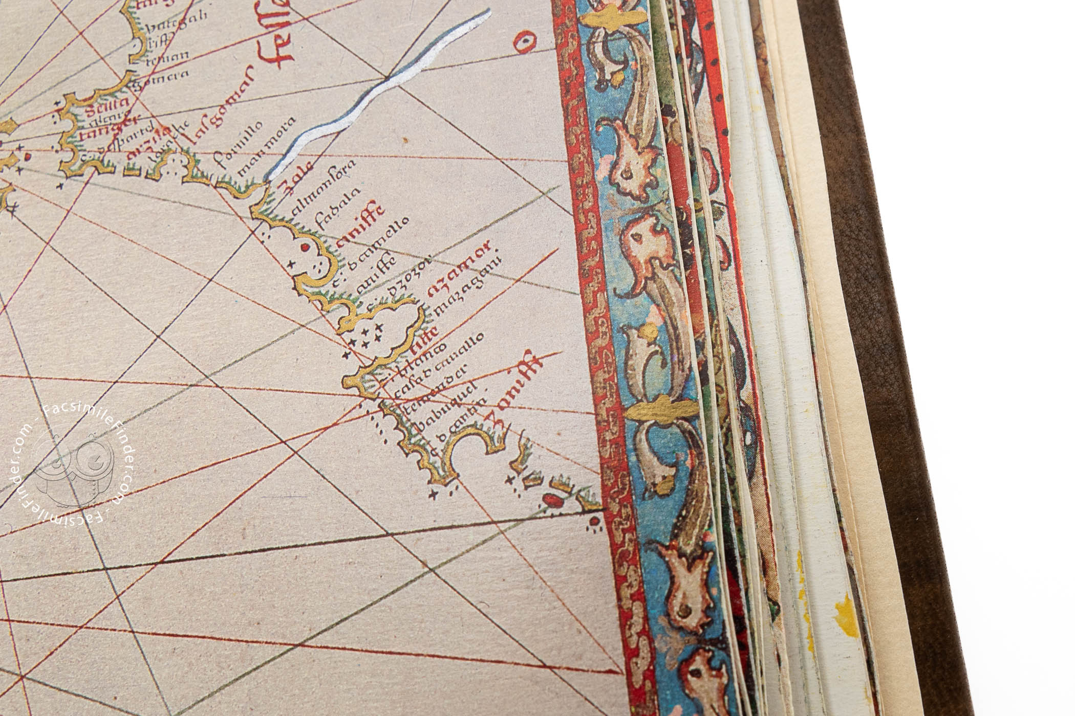


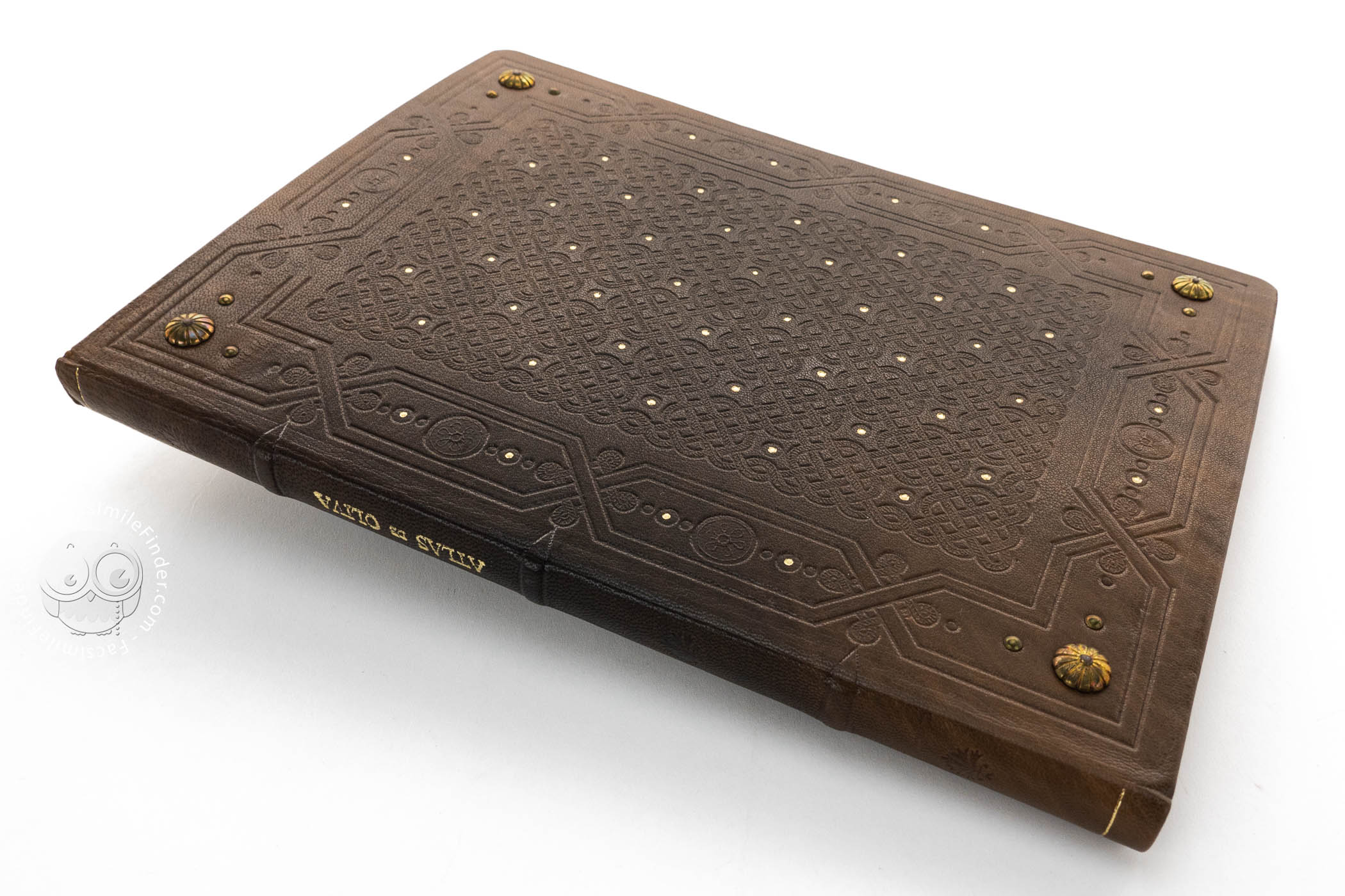


This composite manuscript comprises an atlas of seventeen nautical charts by Joan Oliva (alias Riczo) produced in Naples and dated 1580, to which have been added two charts made by Baldassare Maggiolo of 1588. It is a late example of mapmaking in the centuries-old tradition of portolan charts. Riczo's atlas includes charts showing portions of the Mediterranean, the oceans, the Americas, Africa, and Asia, as well as a world map. Maggiolo's charts are of the western and eastern portions of the Mediterranean basin. Each chart extends across the atlas's spine to occupy a pair of facing pages (ca. 46 cm), and each is surrounded by a multicolored painted frame with decorative motifs.
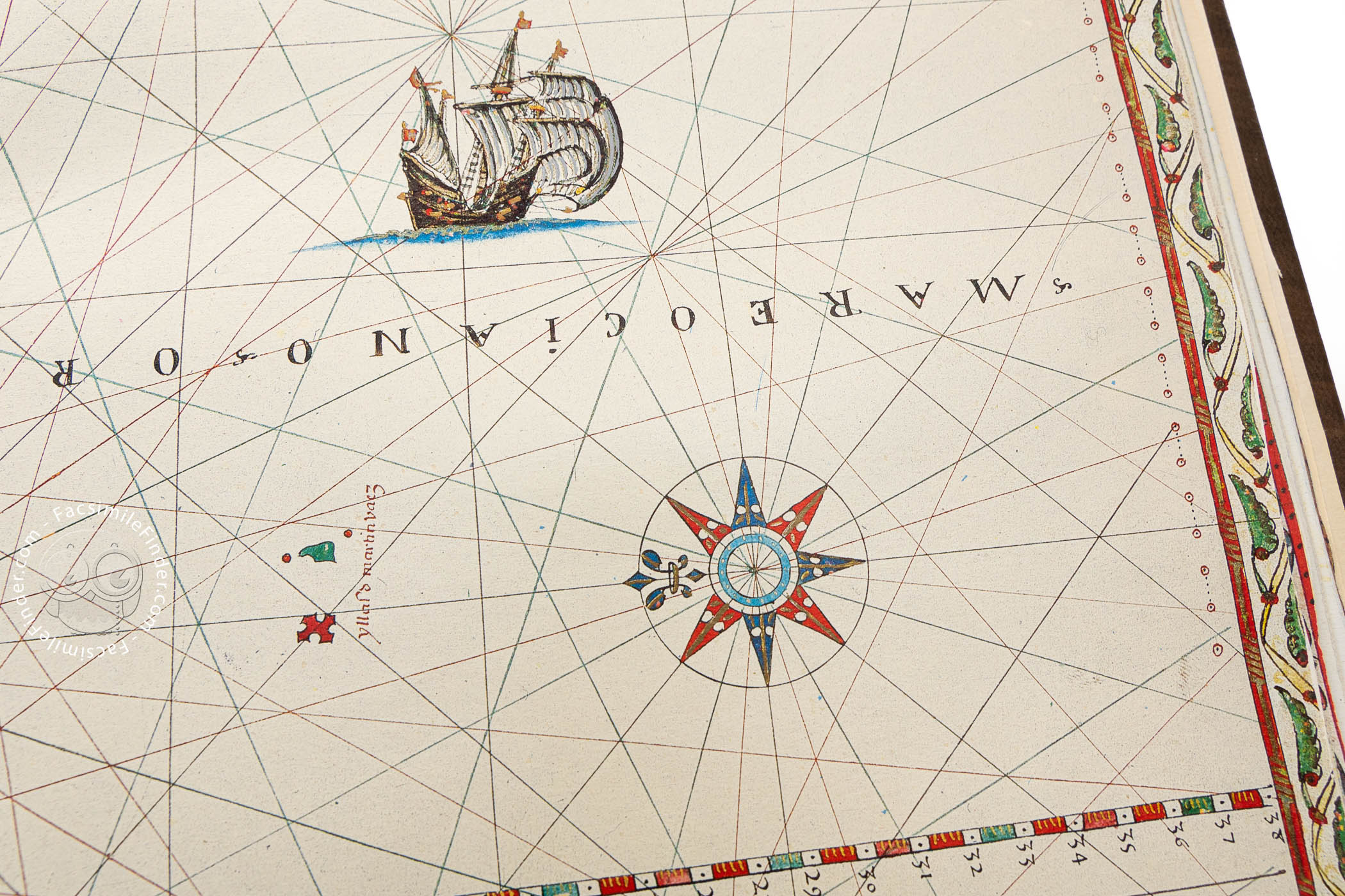
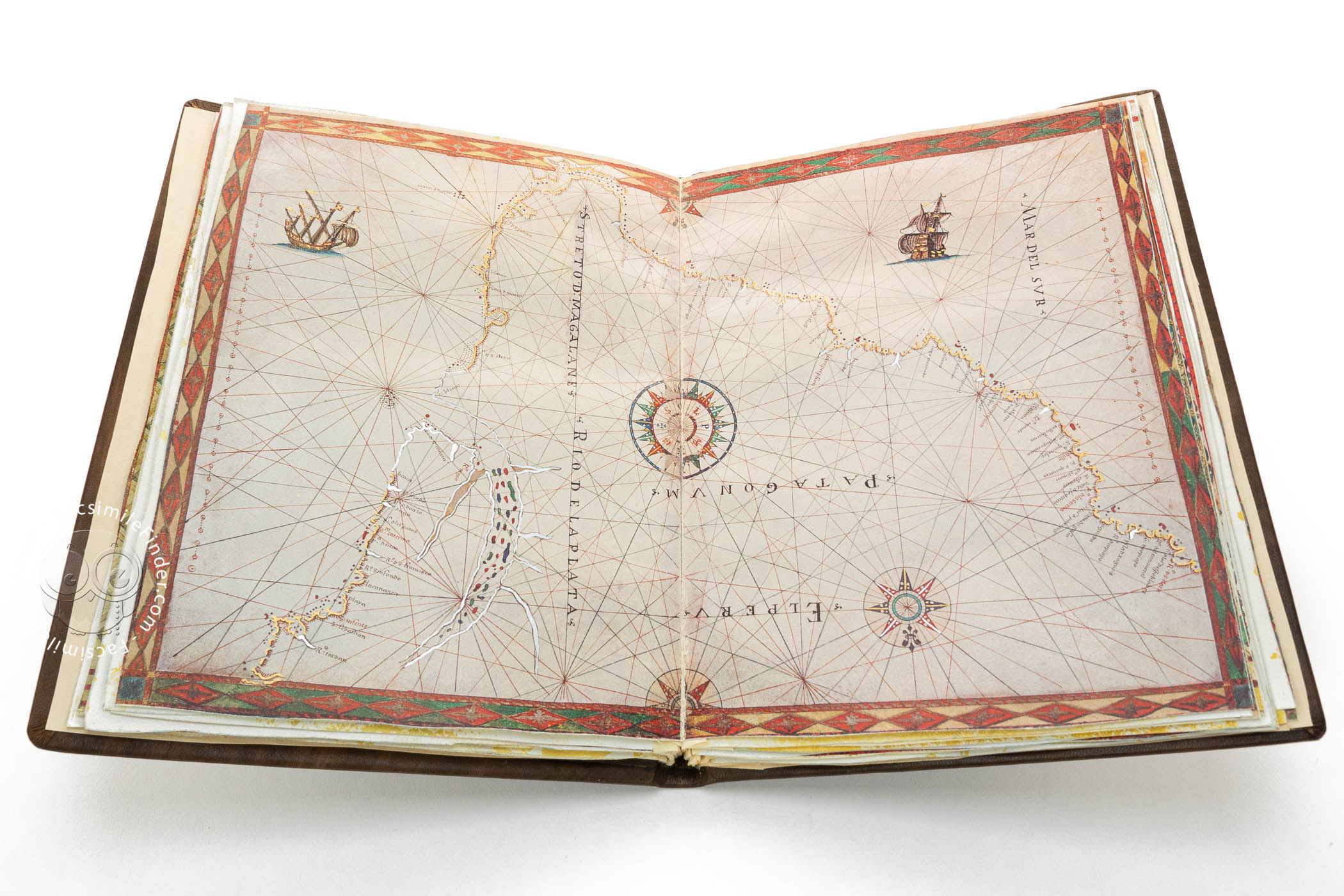
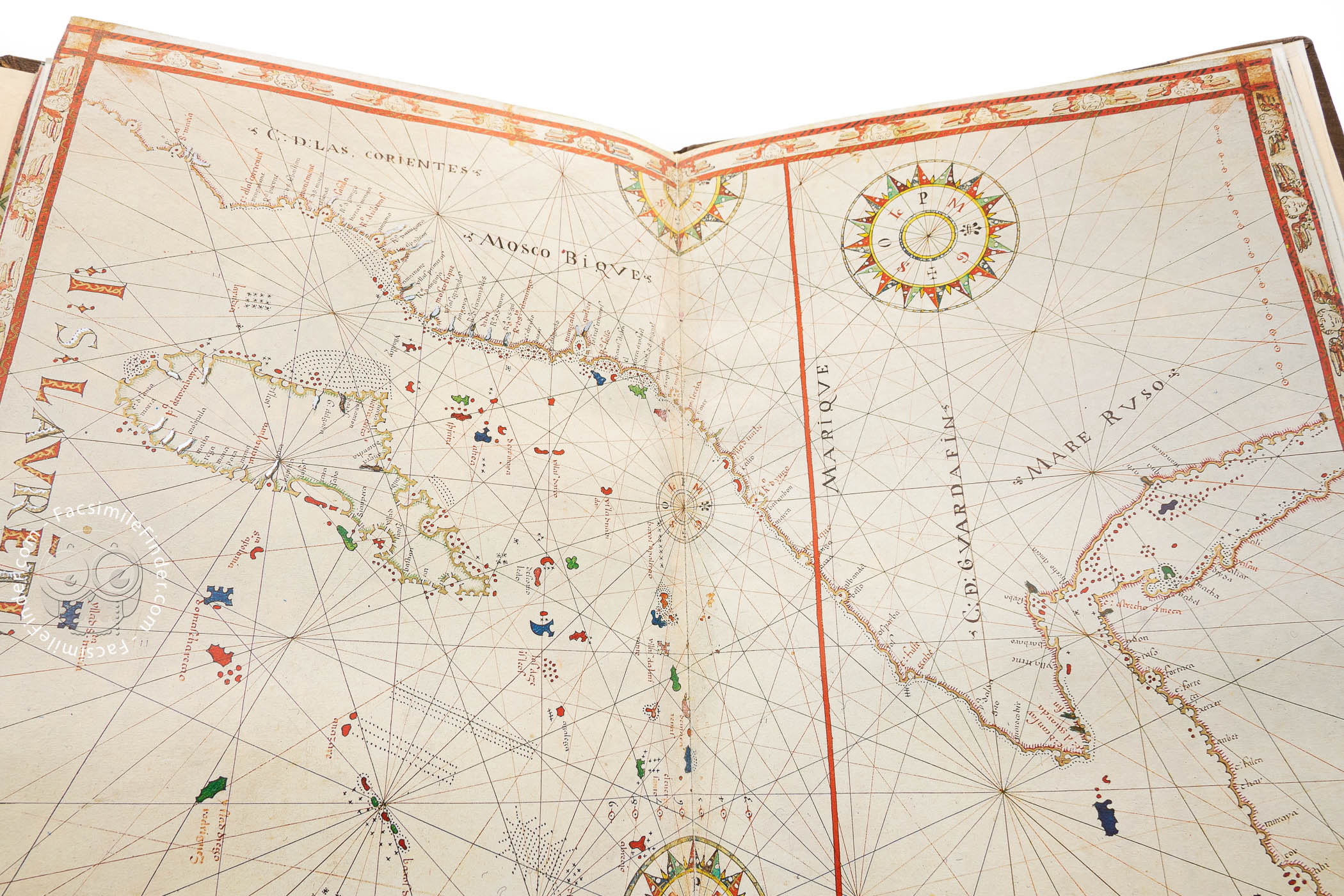
In the tradition of portolan charts that flourished in the fifteenth century, the charts of both Riczo and Maggiolo feature networks of rhumb lines—paths with constant bearings to magnetic north—designed to aid maritime navigation of the charted waters, abundant placenames along the depicted coastlines, and compass roses.
Engaging Painted Embellishments
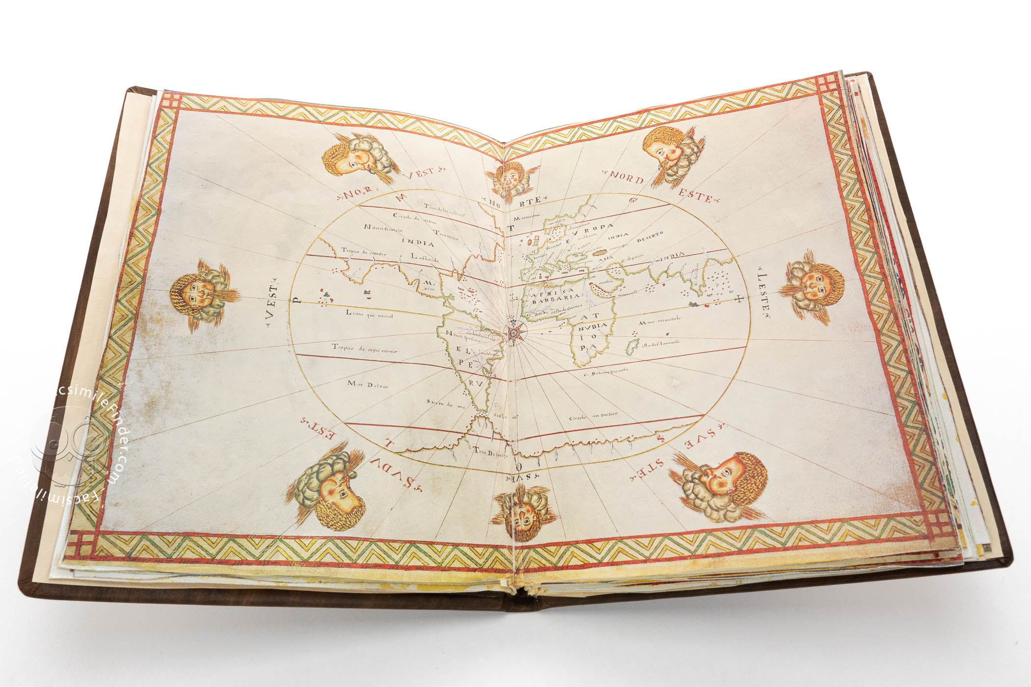
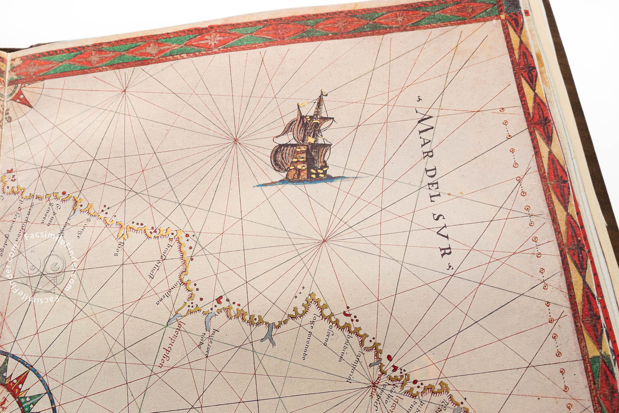
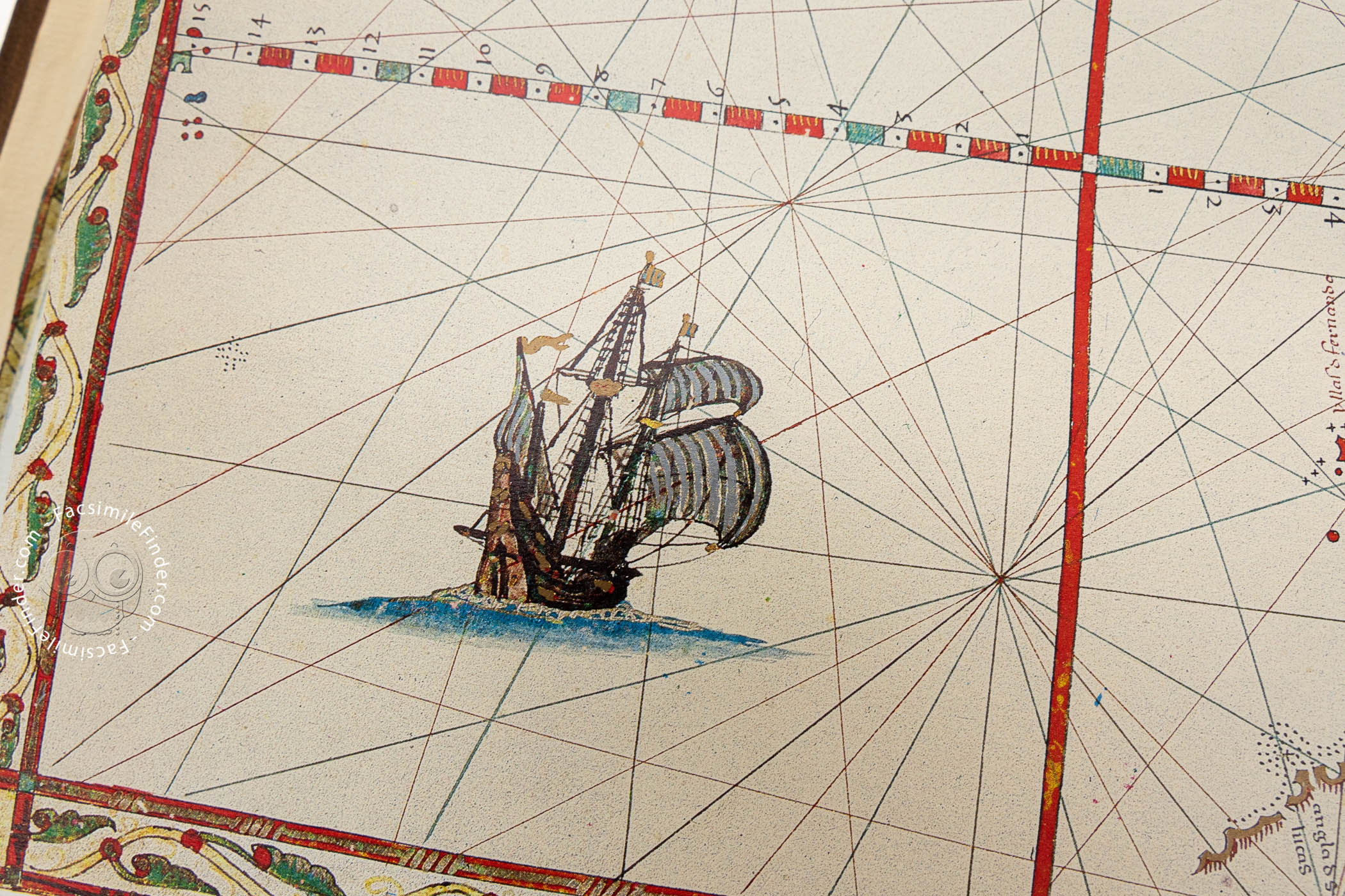
Six charts that represent large portions of the Atlantic Ocean or the Americas include vignettes of a variety of vessels with full sails situated on the high seas (charts 7-12). The atlas's world map (chart 4), centered on a compass rose, is surrounded by representations of the winds as heads with puffed cheeks that emerge from clouds.
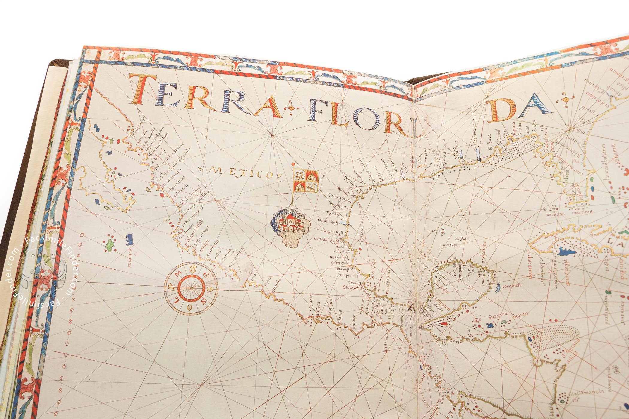
Most of the islands depicted in the charts are colored blue, red, or gold. On some charts, such as those of Asia and North America, the names of the continents are prominently written in large capital letters. In Mexico, the capital is graphically depicted, and a large flag with the colors of Castile indicates its sovereignty over that part of the Americas.
A European Image of the World
The atlas opens with a representation of the Crucifixion, with the Virgin and Saint John flanking the cross. Below the painting, an inscription records the date and authorship of the atlas: Joan Riczo alias Oliva figlio de mastro dominico in napole / Año 1580 (Joan Riczo, alias Oliva, son of master Dominico in Naples, year 1580). The seventeen charts made by Riczo portray the whole world known to Europeans at the time.
The Pride of the Casa del Sol
This atlas is the first known work by Joan Oliva, called Riczo, who worked first in Naples and then in Messina. It was a treasured curiosity in the library of Diego Sarmiento de Acuña, Count of Gondomar (1567-1626), which he assembled in the Casa del Sol in Valladolid. Gondomar acquired it from "Cesare della Torre," according to an inscription. A Gondomar descendent sold the collection to King Charles IV of Spain in the nineteenth century, and the atlas entered the Biblioteca del Palacio Real.
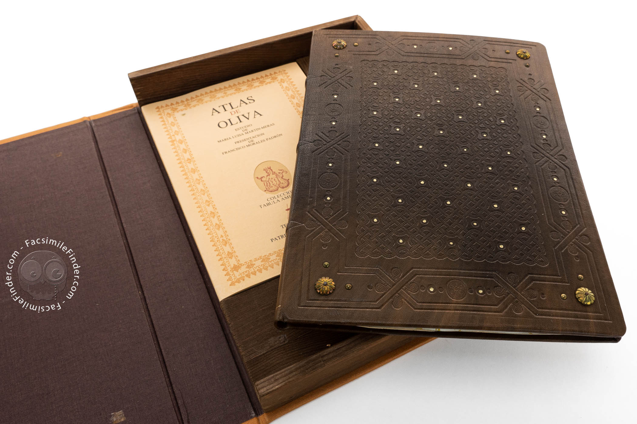
We have 1 facsimile edition of the manuscript "Atlas by Joan Riczo": Atlas de Oliva o Atlas Portulano J. Riczo facsimile edition, published by Testimonio Compañía Editorial, 1987
Request Info / Price