
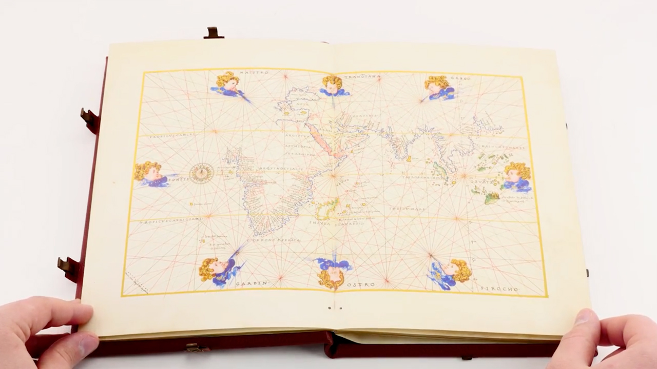


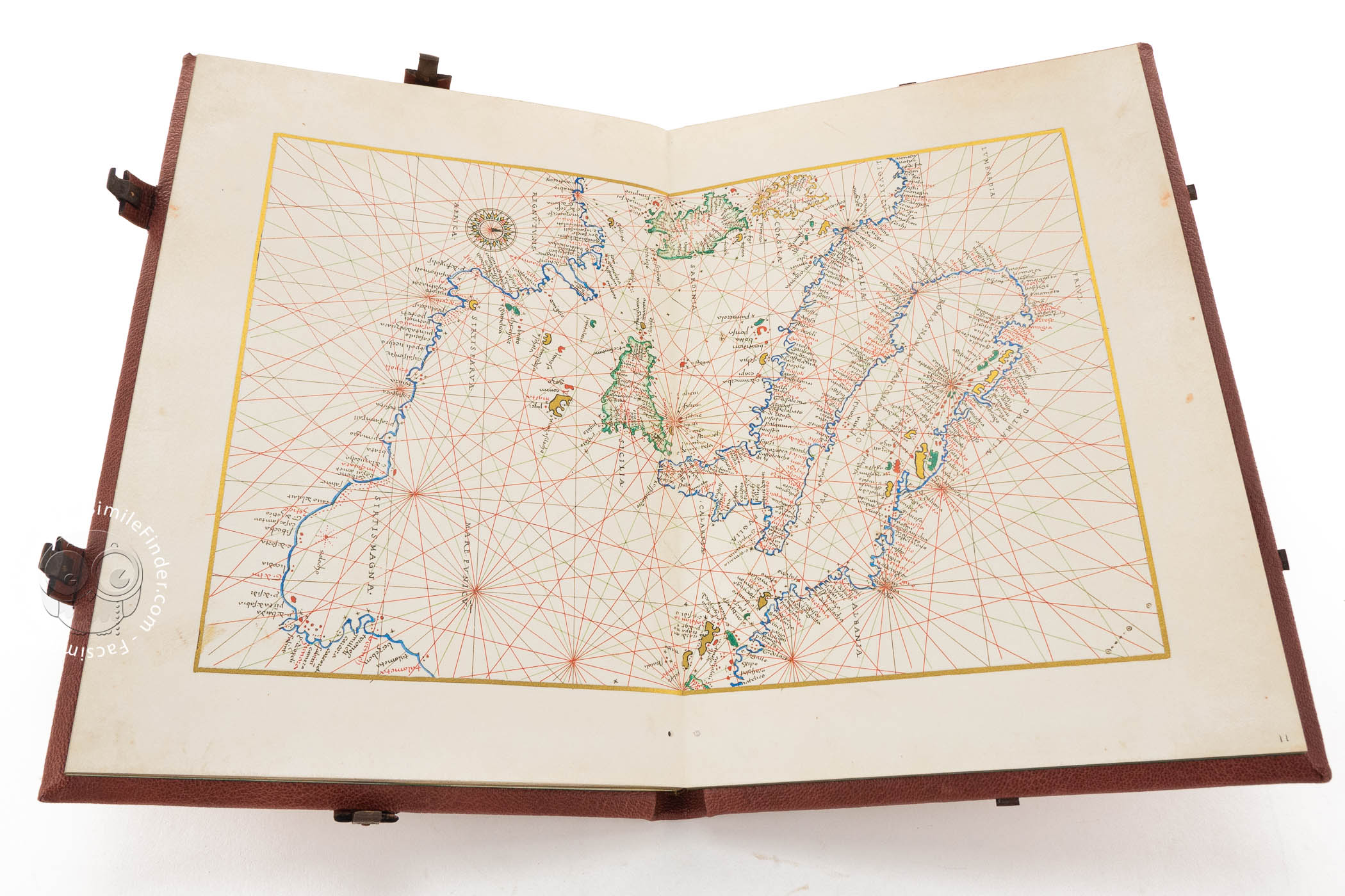
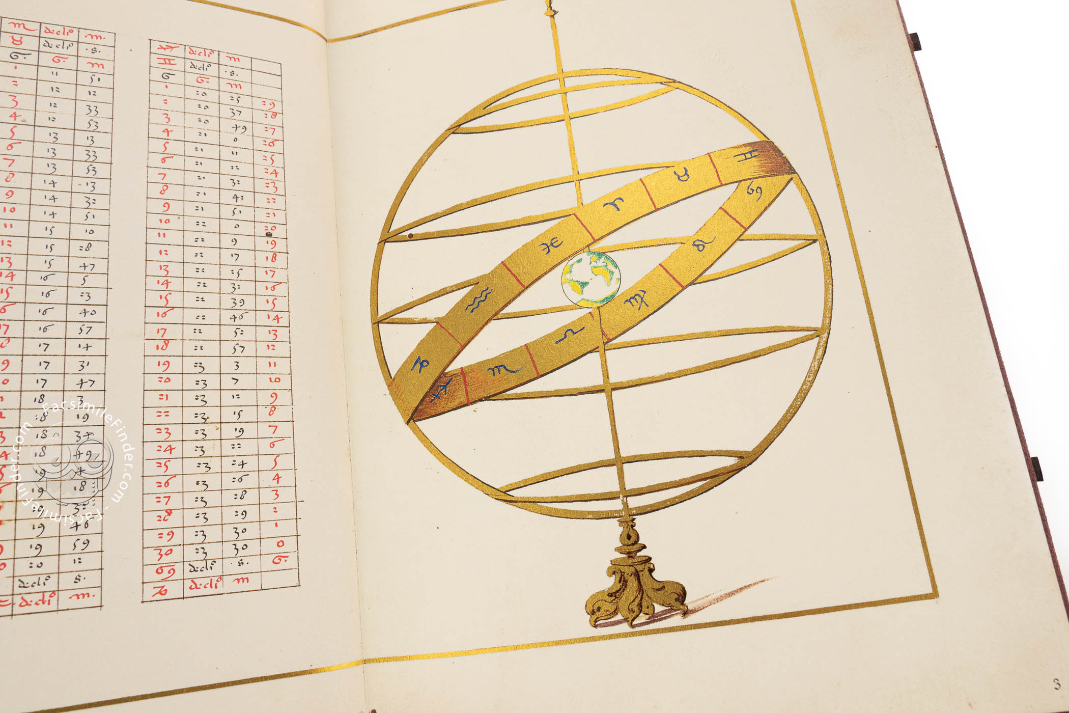
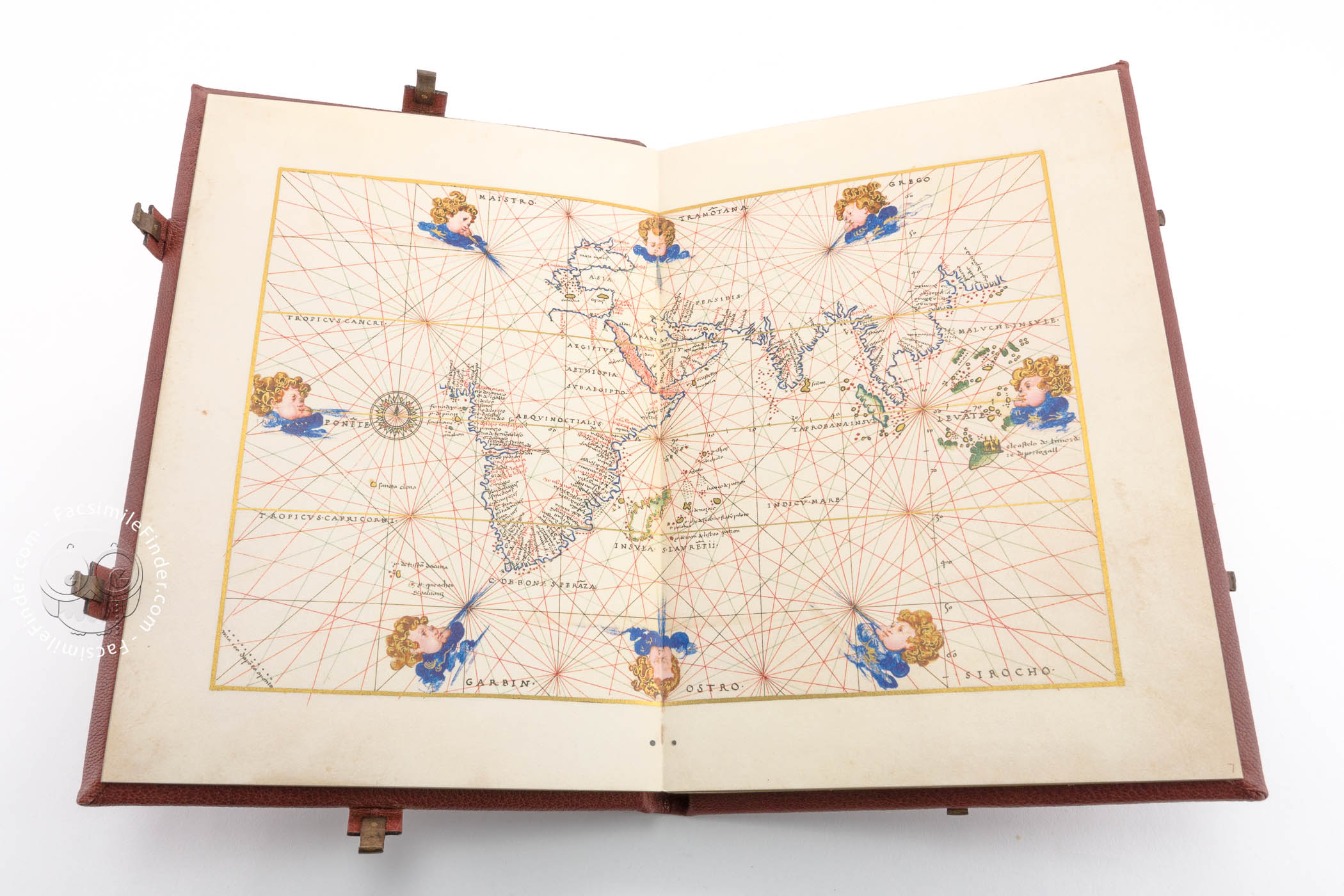

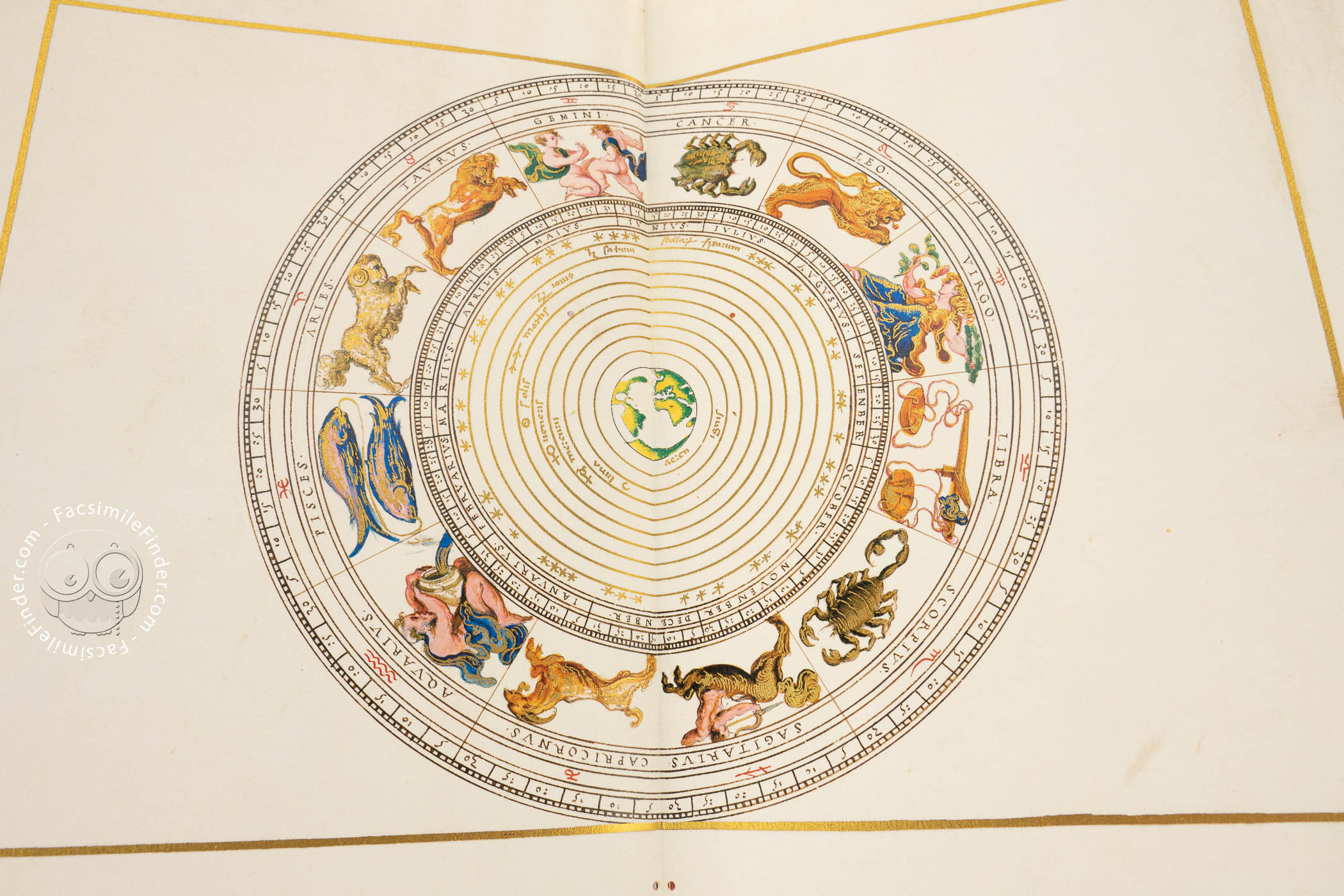
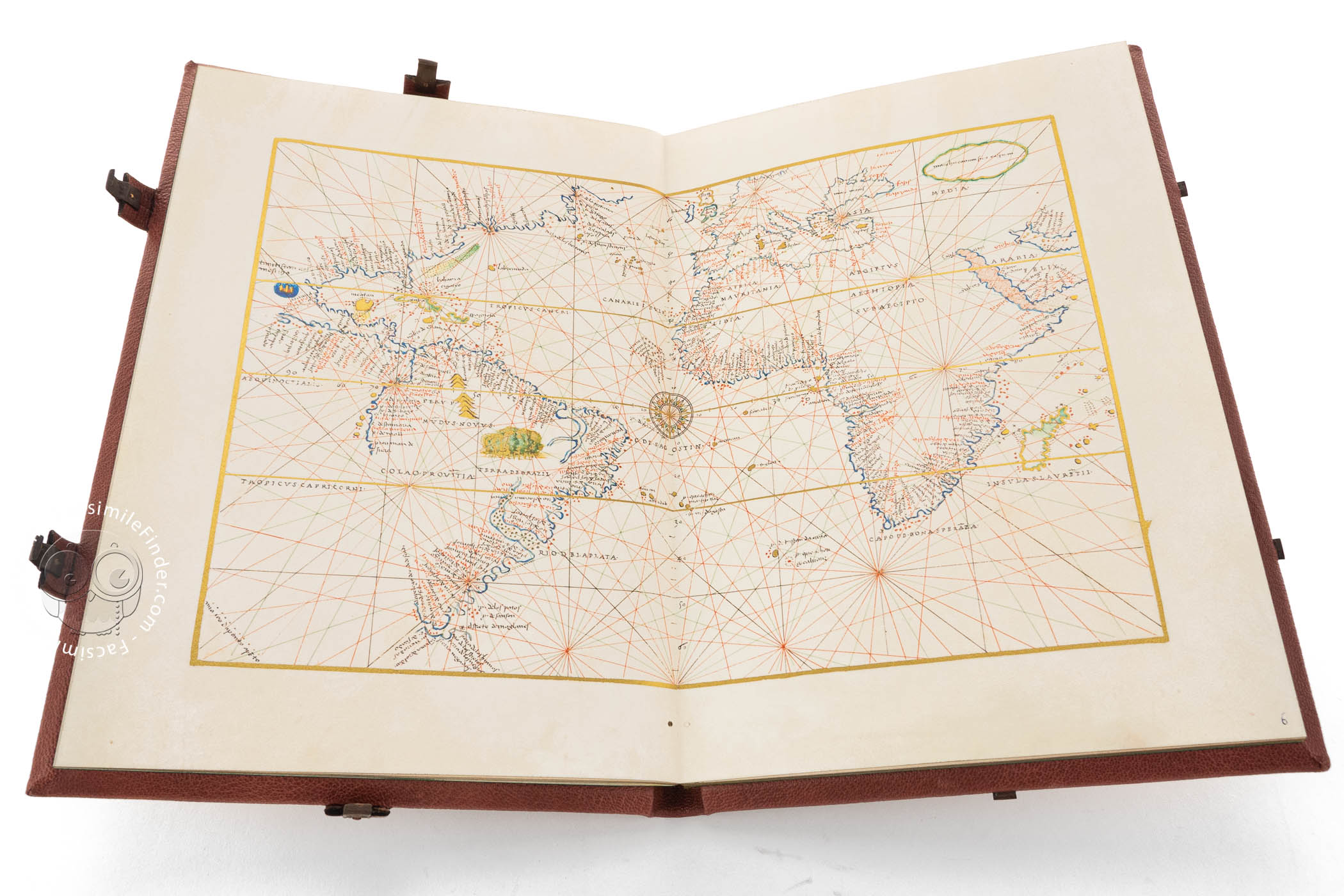
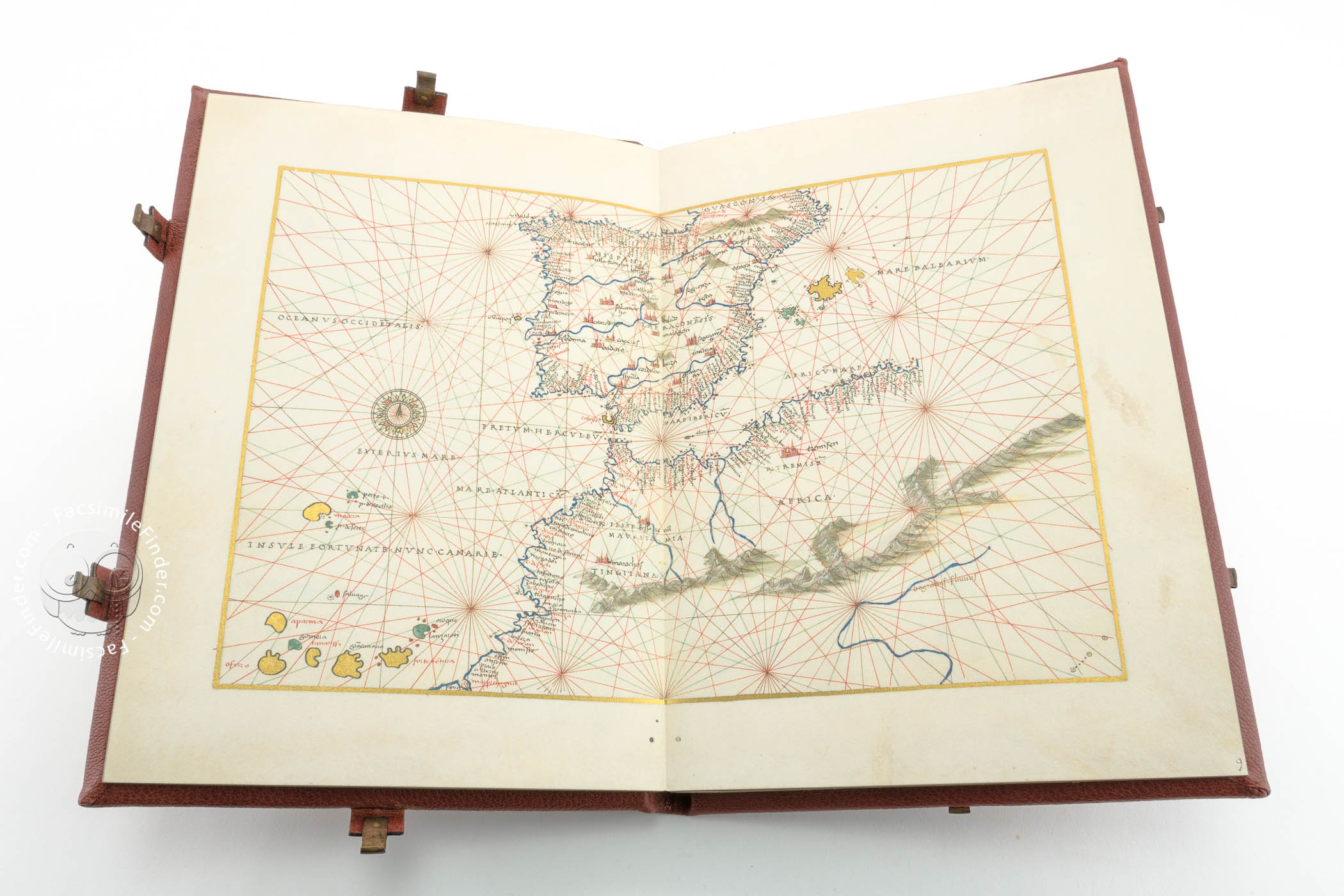
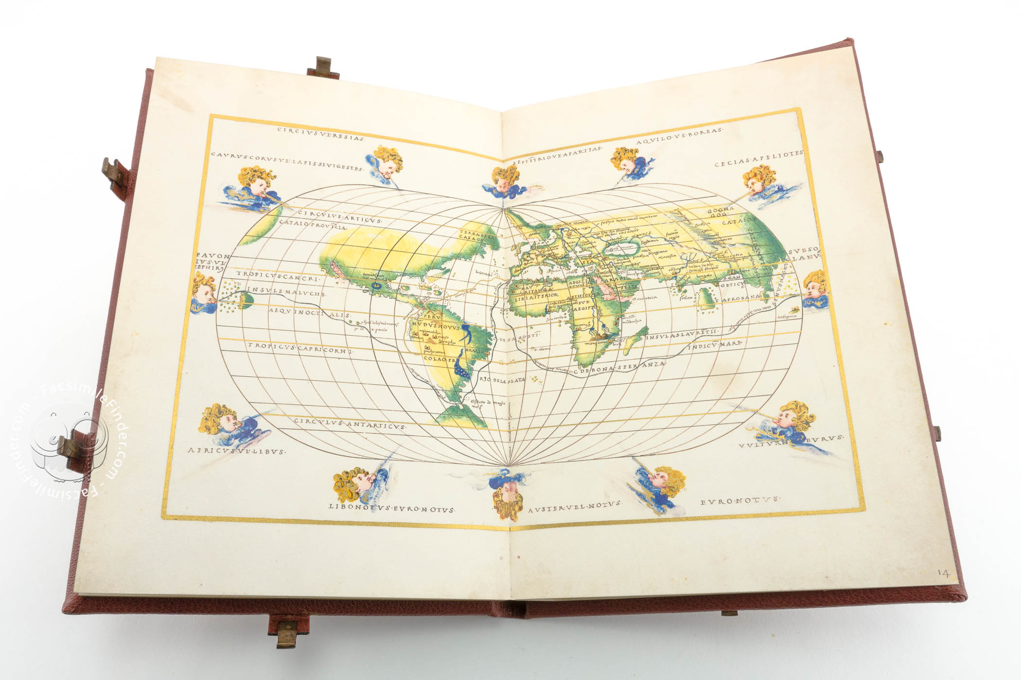
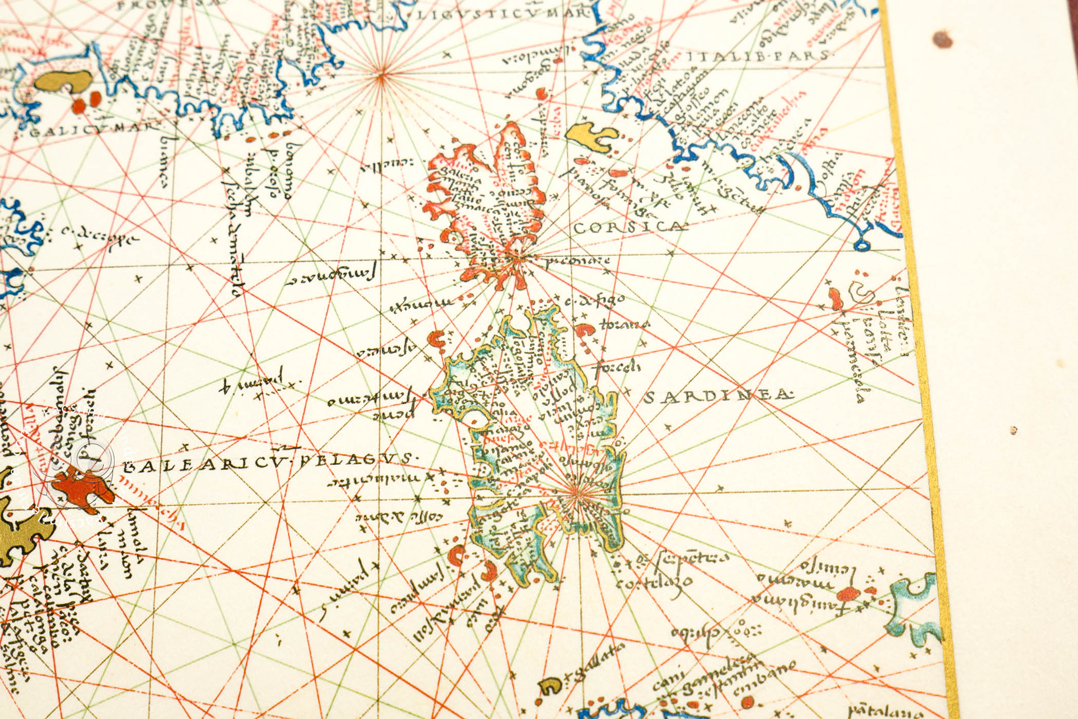
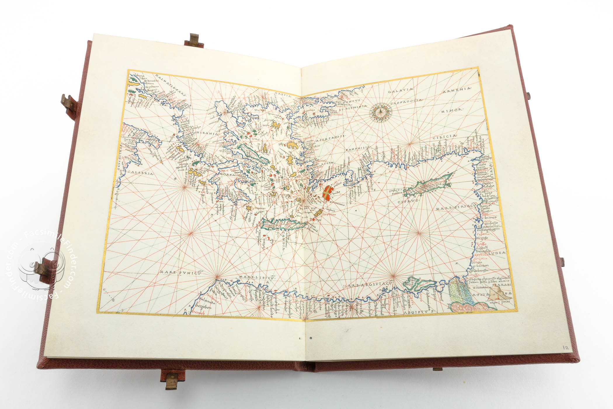
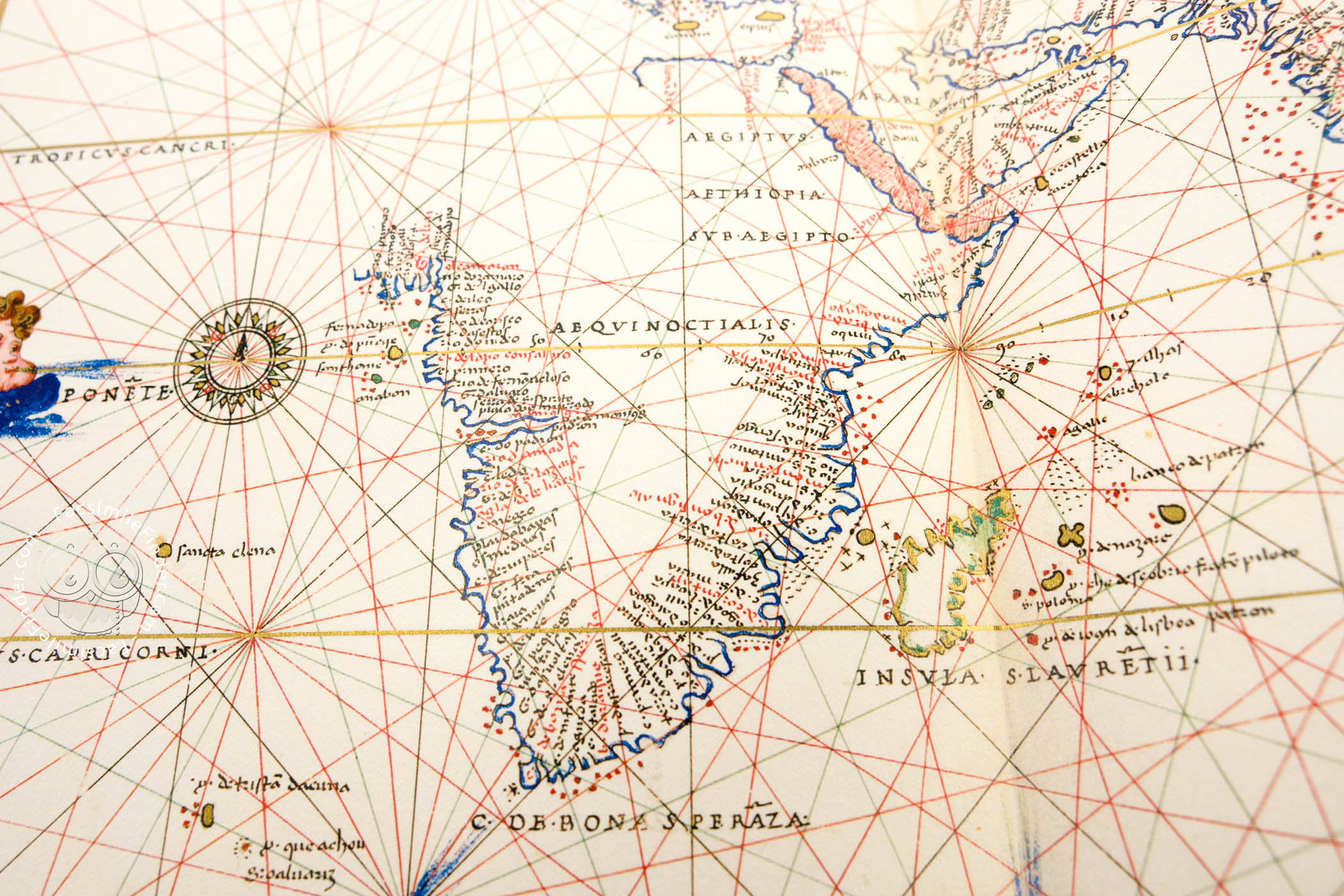


The Florence Atlas by Battista Agnese is a handsome volume of maps and related material created around 1550 in Venice by one of the most accomplished and prolific cartographers of his age. Each of its ten maps spans across two facing pages of the book. The painting is remarkable for its clear and brilliant palette of blue, red, emerald green, ocher, and gold on finely prepared parchment. Its world map includes representations of Magellan's route around the globe and Pizarro's route to Peru.
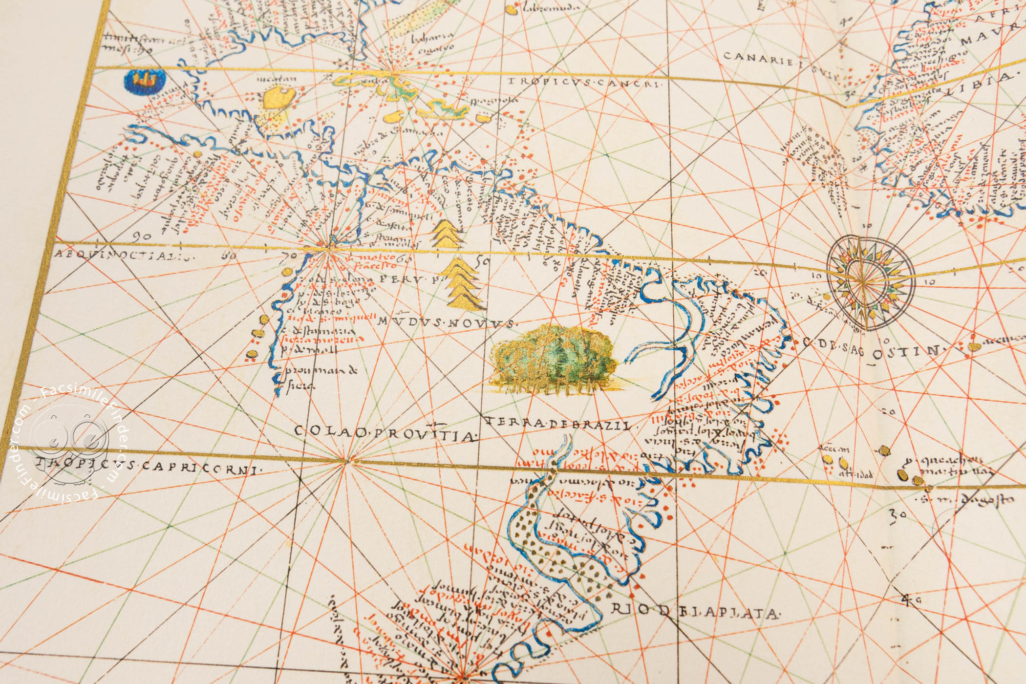
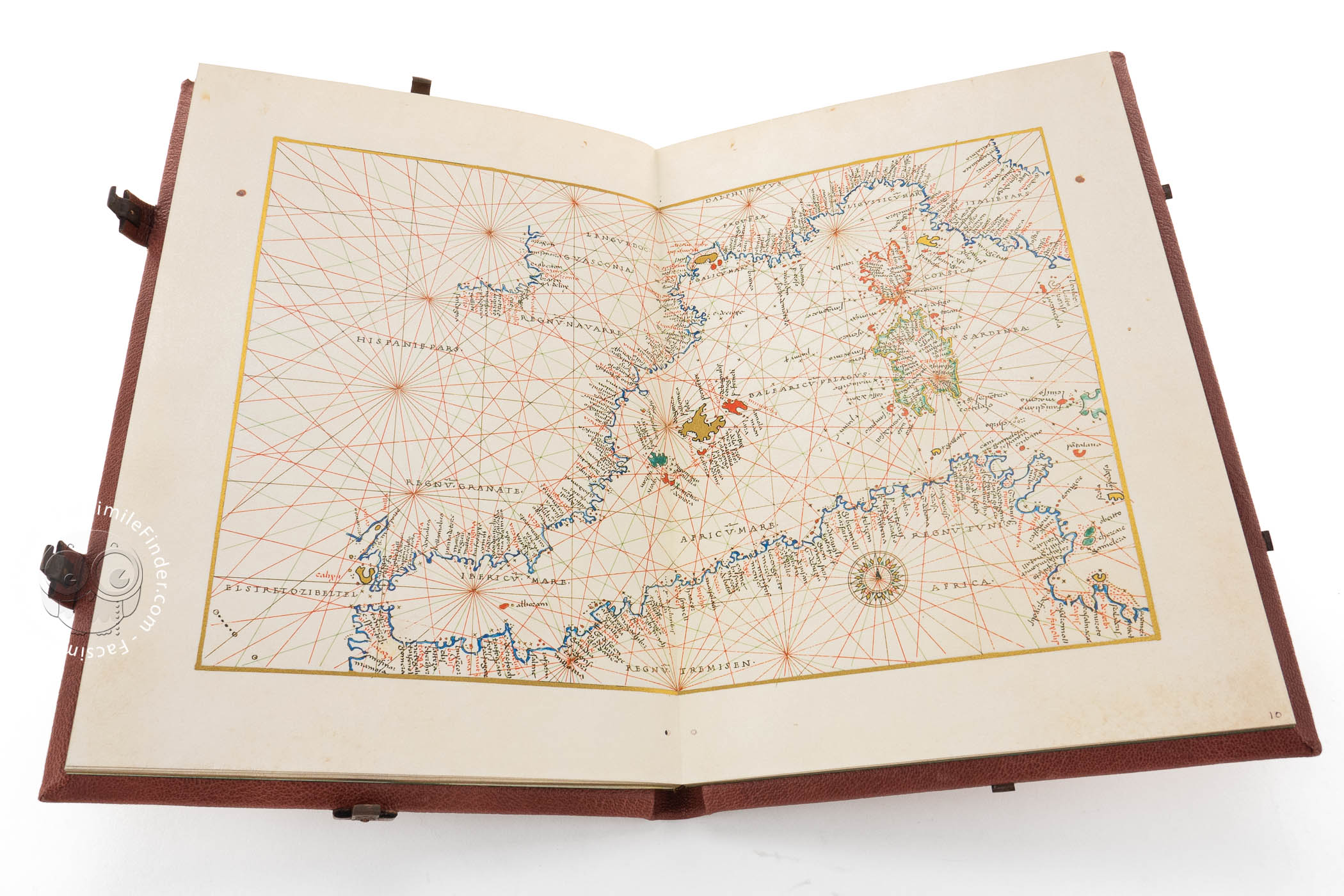
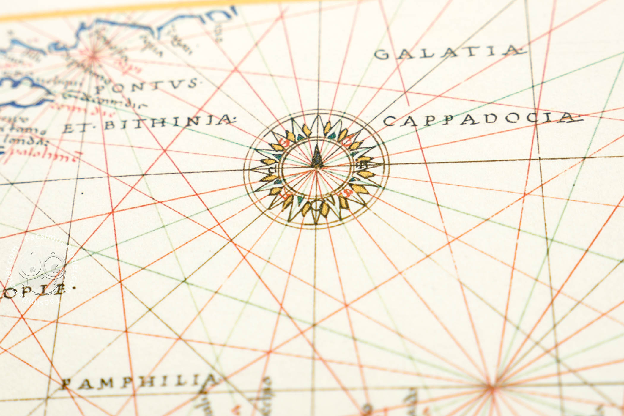
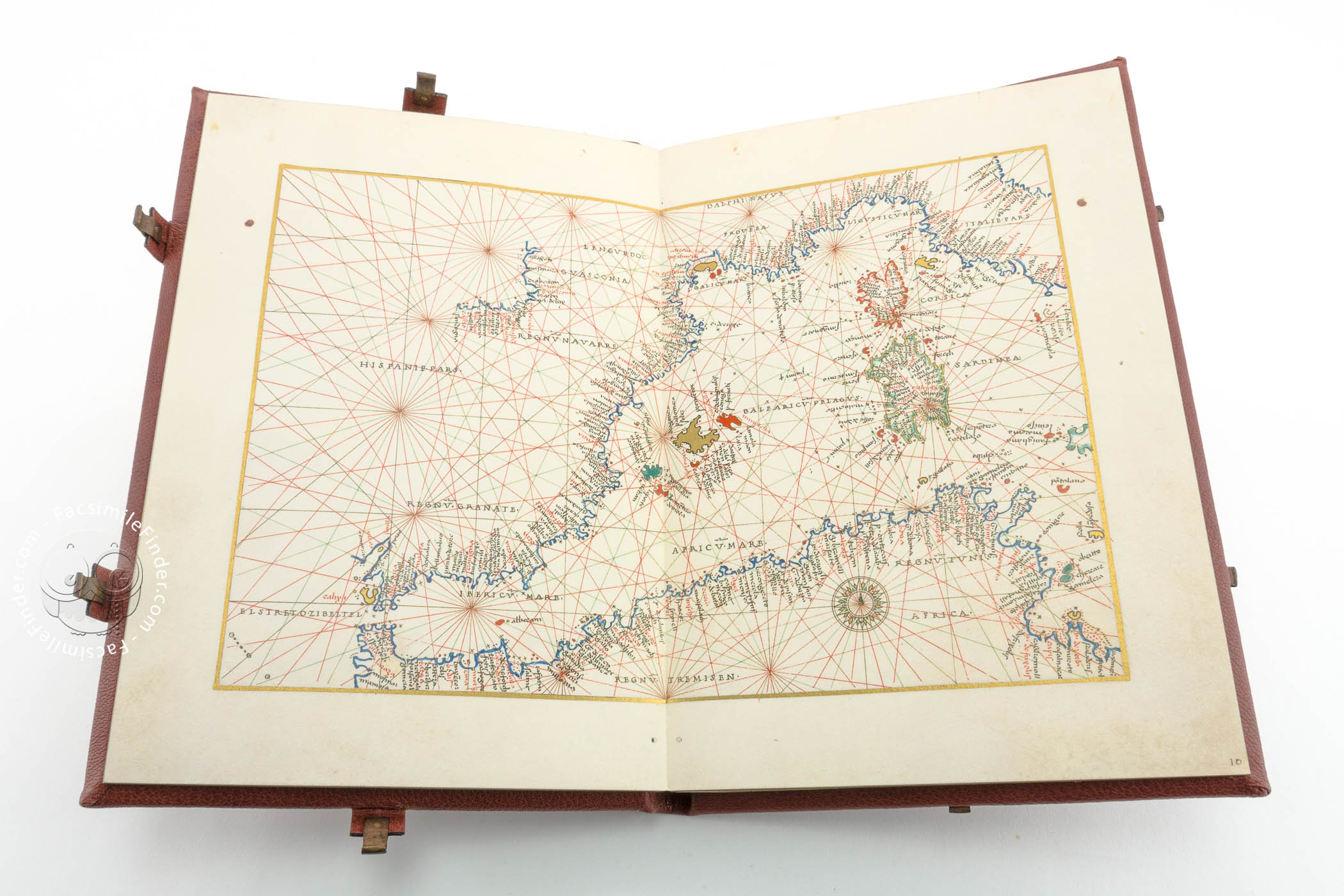
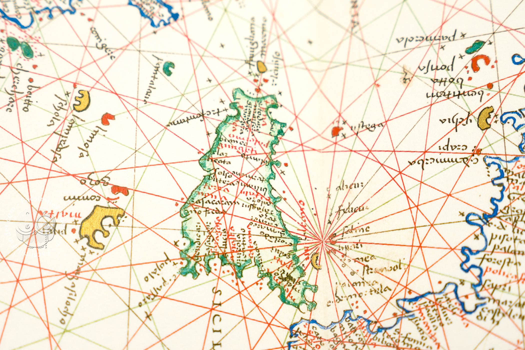
The maps include nine nautical charts, with their characteristic compass roses with radiating rhumb lines—paths with constant bearings relative to magnetic north. The oval world map is brilliantly colored, with land masses in green and ocher and with both the Red Sea and the Gulf of California colored red.
Islands of Many Colors
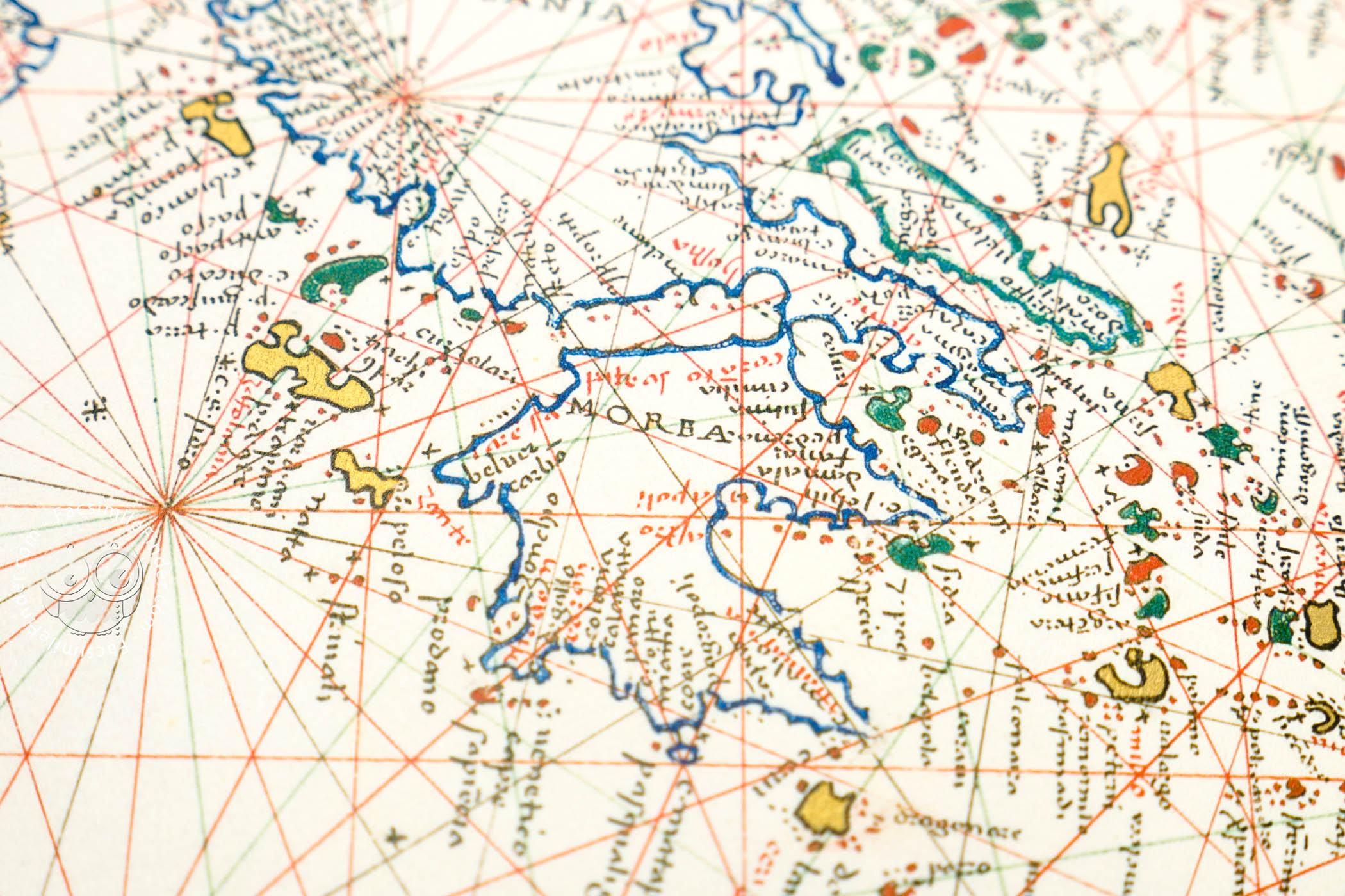
The coastlines of large landmasses are drawn in brilliant blue. Most islands are colored, although the largest—such as Sicily, Sardinia, and Corsica—have only colored coastlines. Ocher, red, and green predominate. Curiously, the island of Rhodes is colored as a cross on a red field reminiscent of the banner of the Order of Hospitallers, although the order had been expelled from the island by the Ottomans in 1522 (fol. 12r).
Blowing Winds
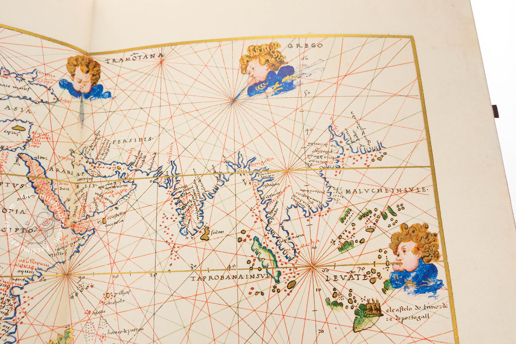
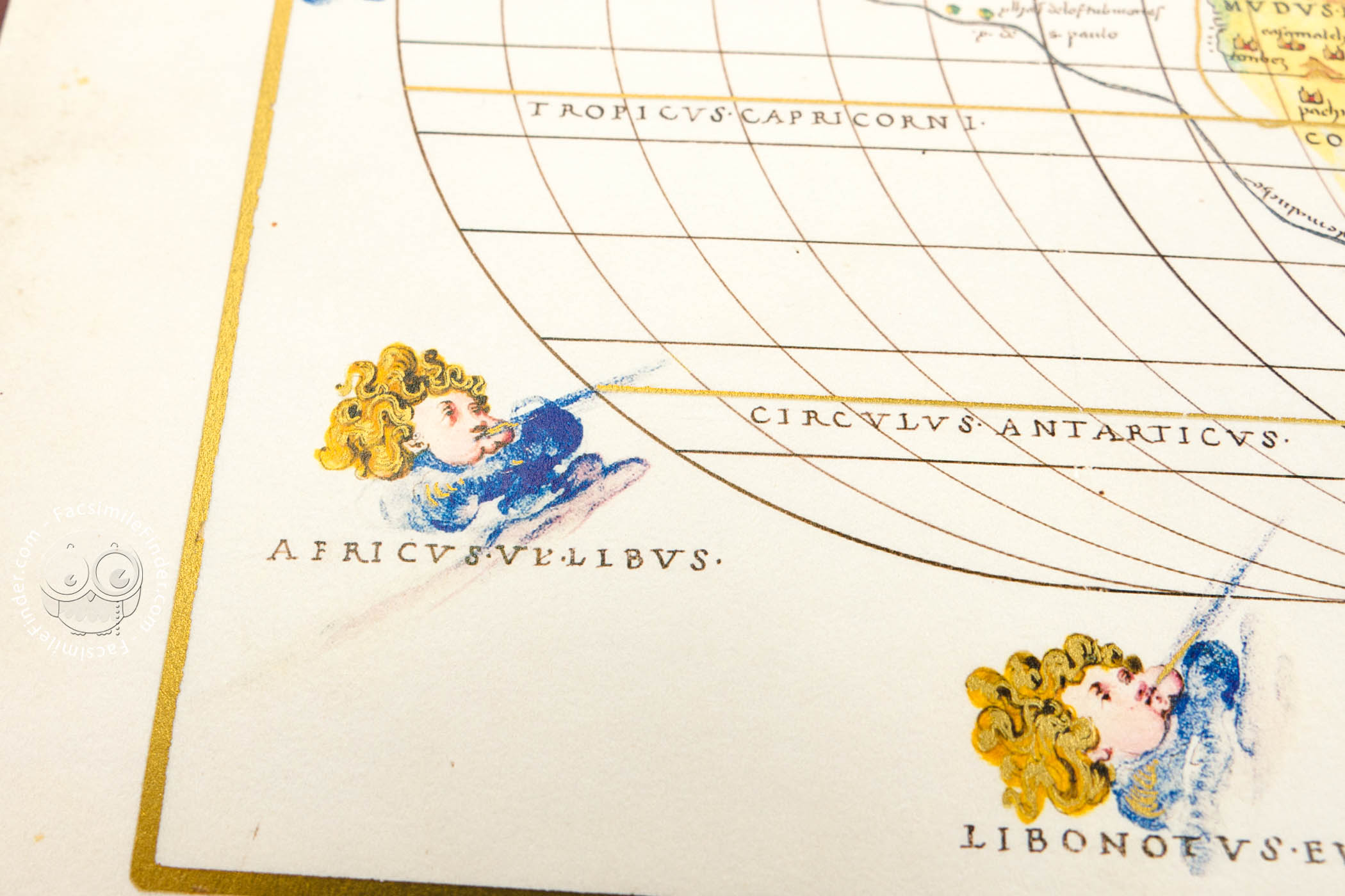
Two maps, the nautical map of the Indian Ocean and the world map, include personifications of the winds, eight on the nautical map and twelve on the world map. They appear as infant heads with curly blond hair and puffed-out cheeks. They are labeled in Italian on the nautical map and in Latin on the world map (fols. 6v-7r and 13v-14r).
A "Post-California" Atlas
Battista Agnese's prodigious output has been grouped according to the presence or absence of key elements. The Florence atlas is of the "post-California" type, with Baja California shown as a peninsula and with Scotland squarish in shape and detached from England, so that they form separate islands (fols. 13v and 7v).
Focus on Recent Explorations
The route of Ferdinand Magellan (d. 1521) and his crew around the world in 1519-1522 is a prominent feature of the oval world map (fols. 13v-14r). Rendered in gold on the same map is the path of the viazo de peru ("journey to Peru") successfully undertaken by Francisco Pizarro (d. 1541) in 1526.
Owned by a Noble Tuscan Family
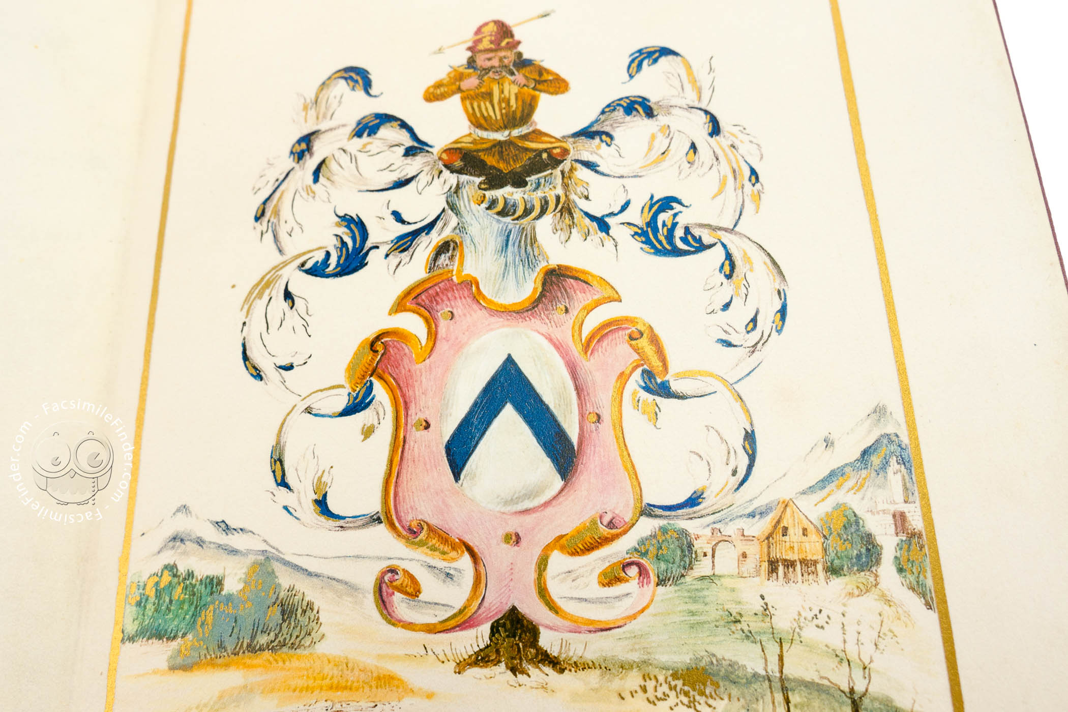
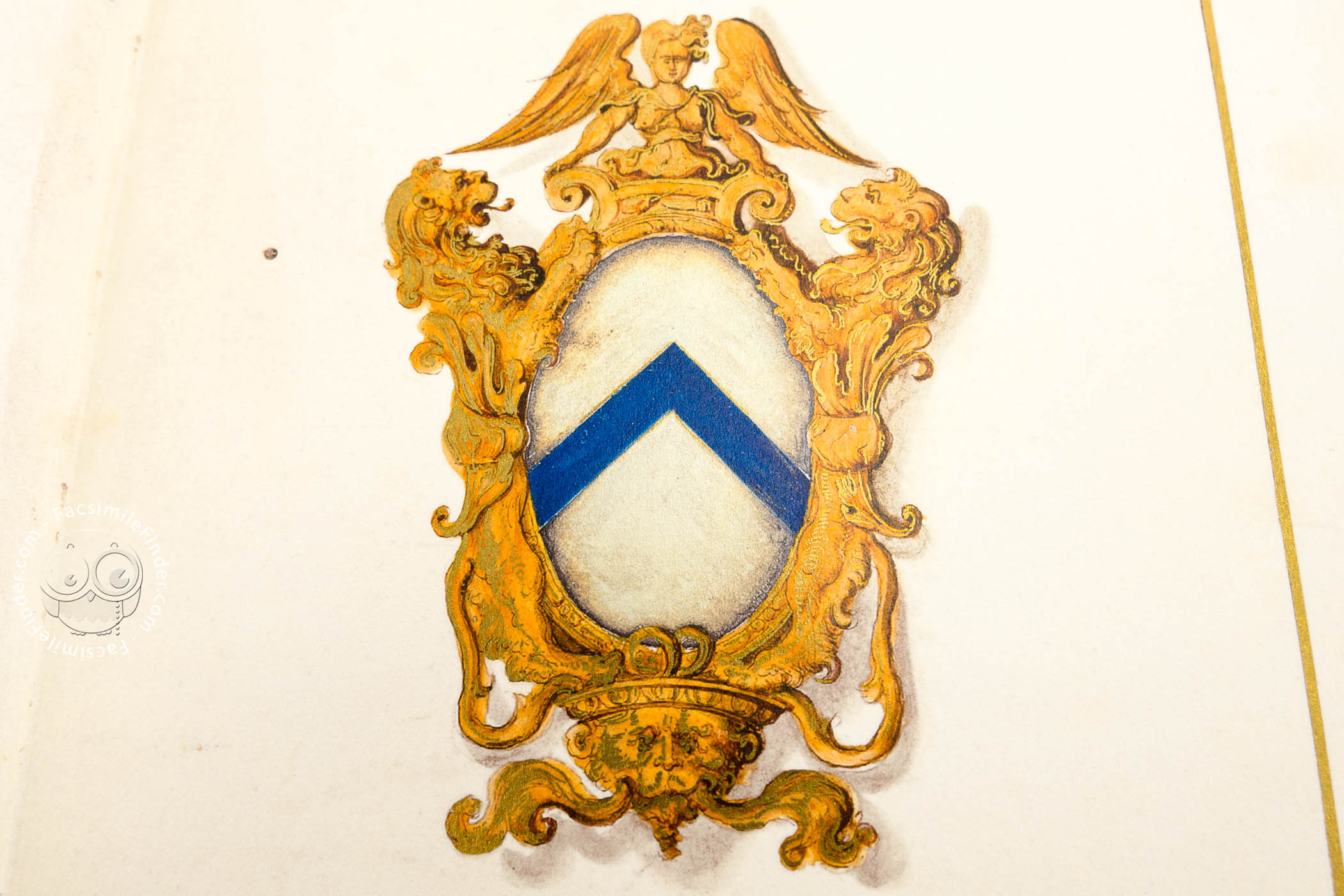
The arms of the Da Sommaia family occupy two full-page compositions at the beginning and end of the book (fols. 2r and 15r). The image at the front of the book is a shield in a fictive sculptural frame. The heraldry on the manuscript's last page includes a helmet surmounted by a comical figure with an arrow through his hat. Whether the atlas was made for a member of the family, we do not know.
From the Library of Antonio Magliabechi
The atlas was one of the thousands of volumes Antonio Magliabechi (1633-1714), the librarian to the Grand Dukes of Tuscany, bequeathed to the city of Florence, creating the Biblioteca Magliabechiana, which opened to the public in 1747 and eventually became one of the founding collections of the Biblioteca Nazionale Centrale.
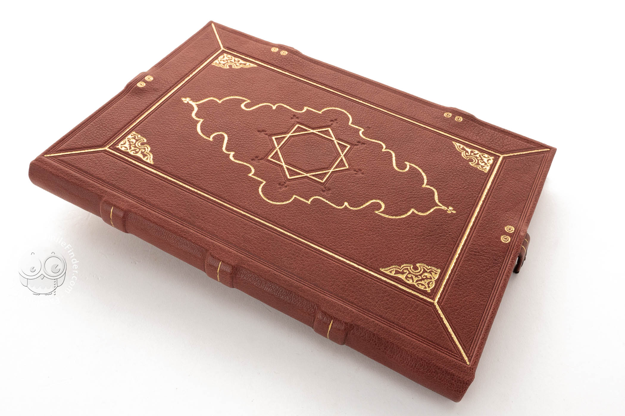
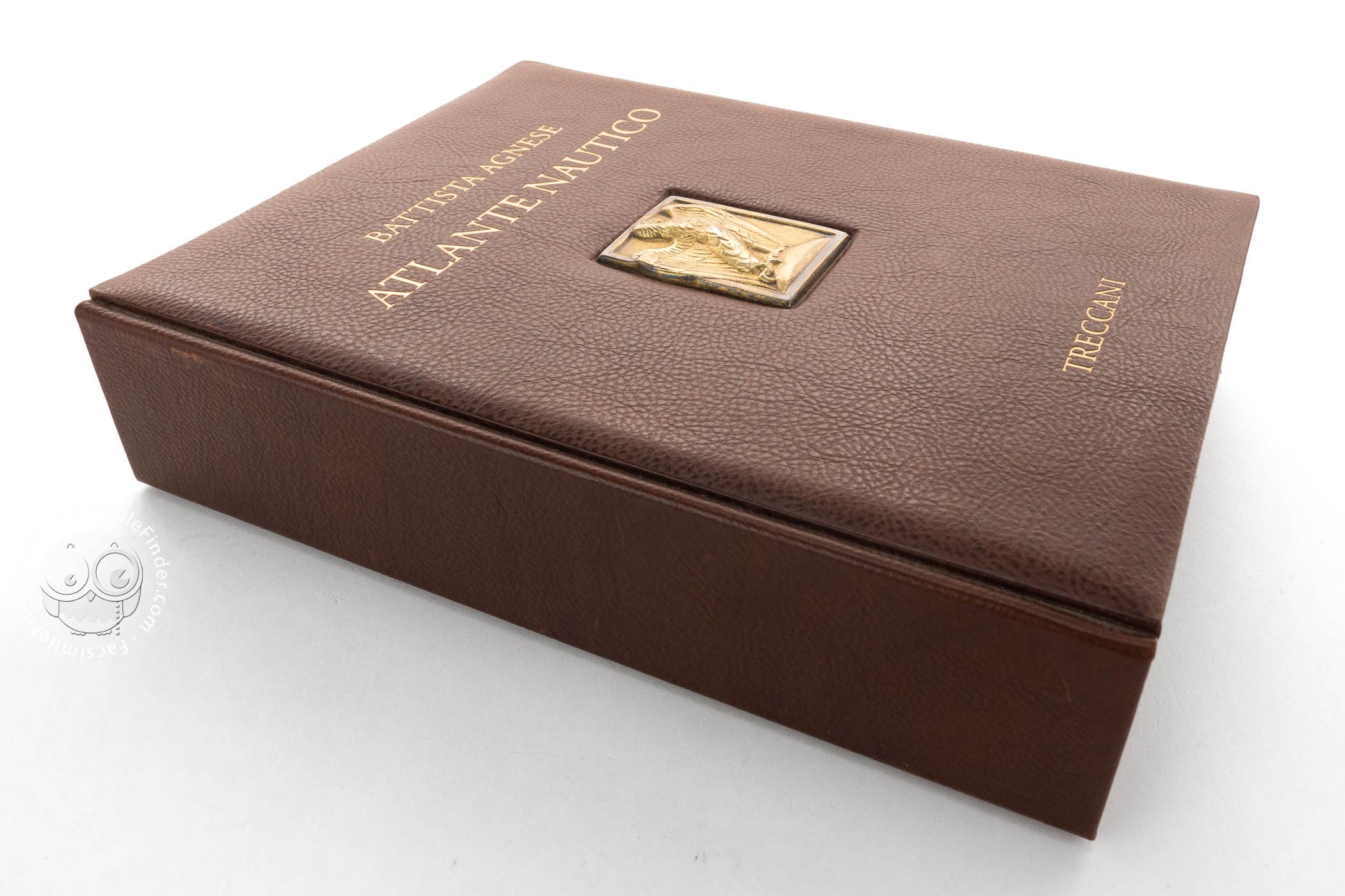
We have 1 facsimile edition of the manuscript "Florence Atlas by Battista Agnese": Atlante Nautico di Battista Agnese facsimile edition, published by Istituto dell'Enciclopedia Italiana - Treccani, 2008
Request Info / Price