
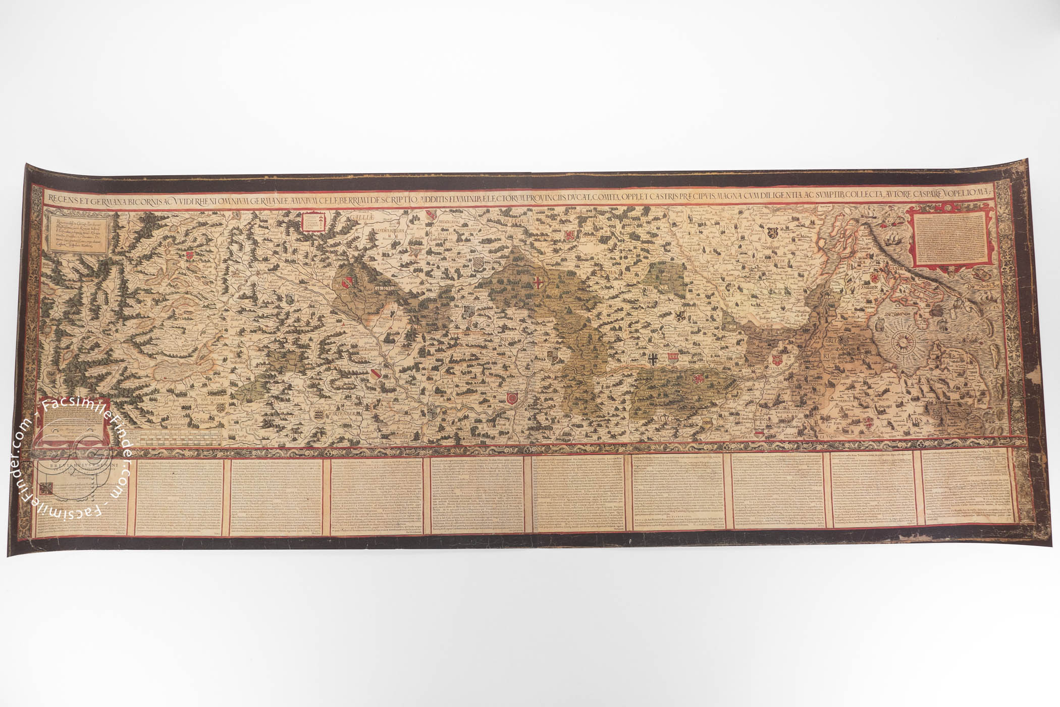
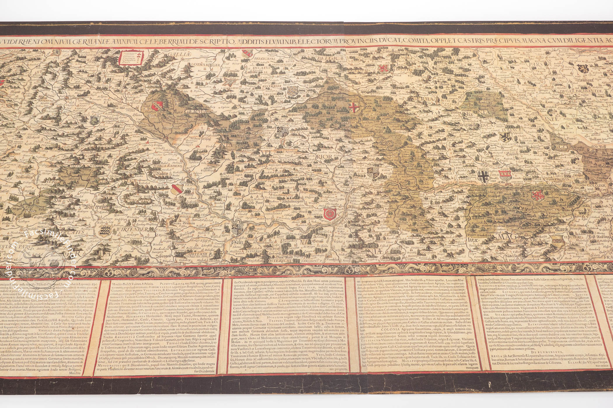
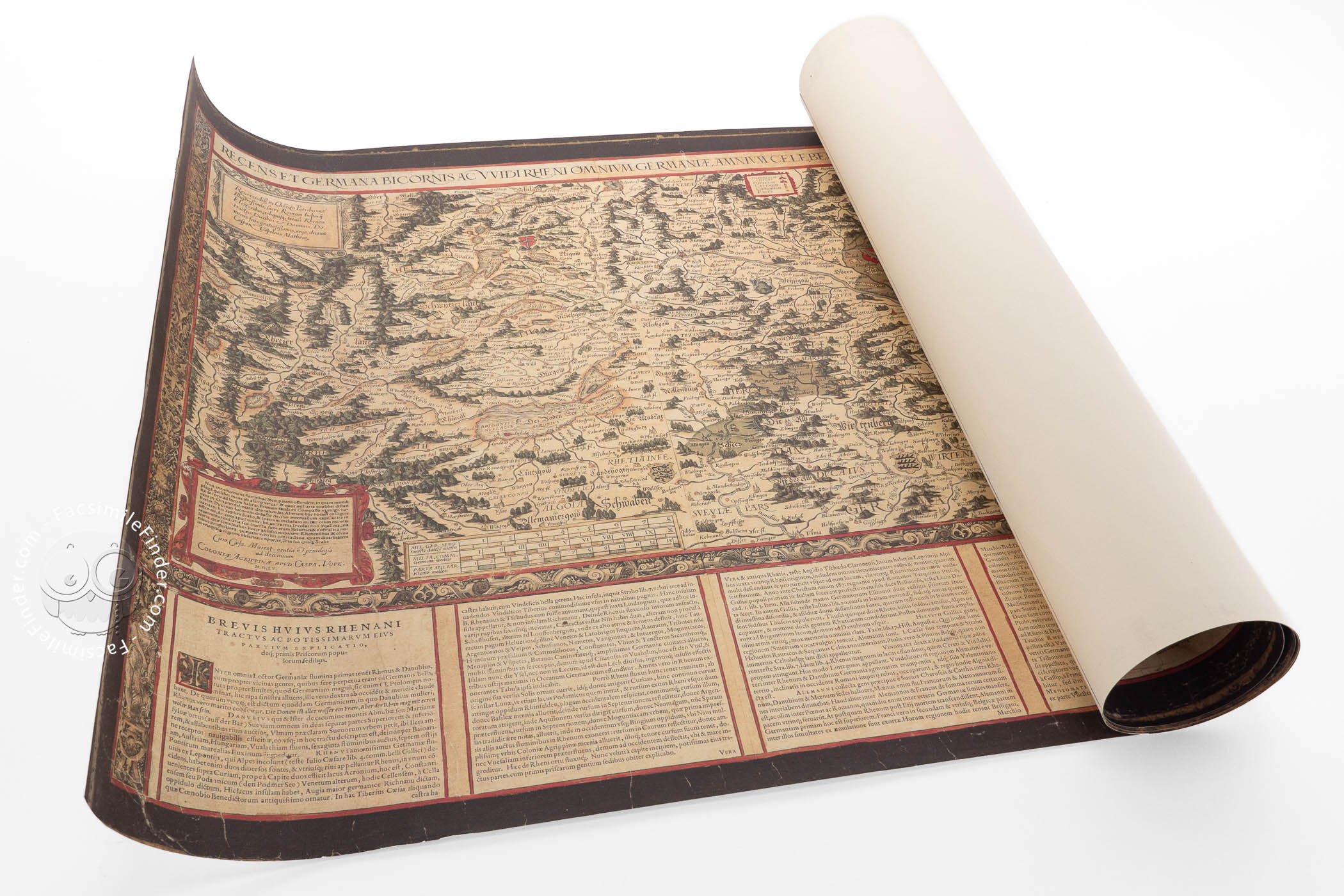
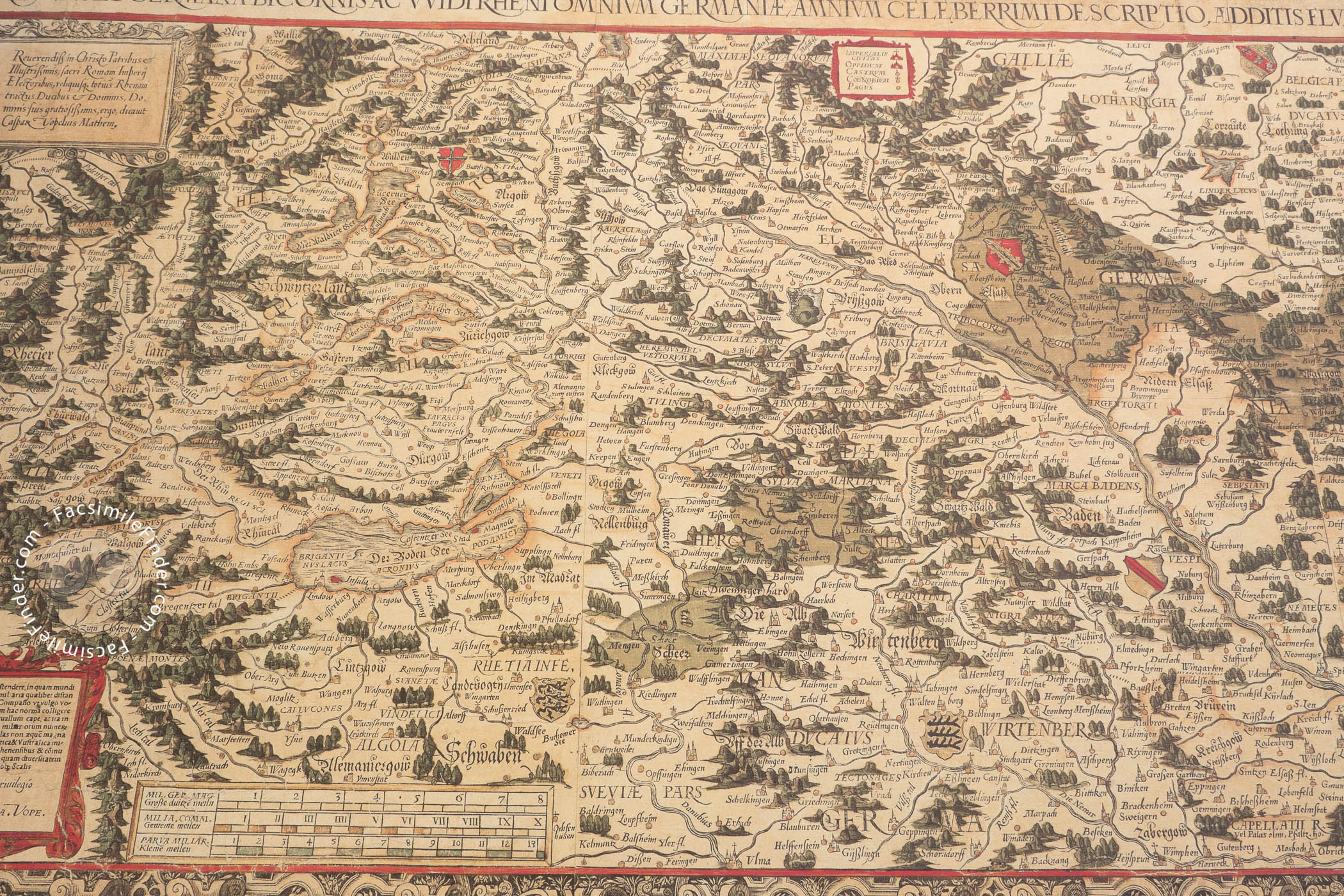
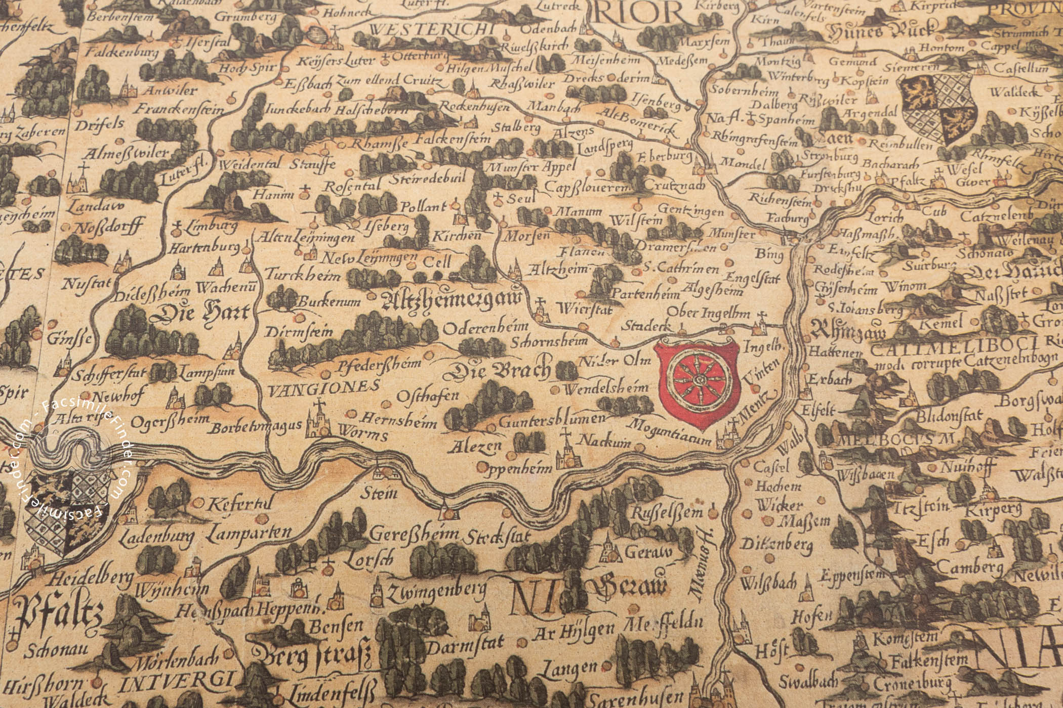
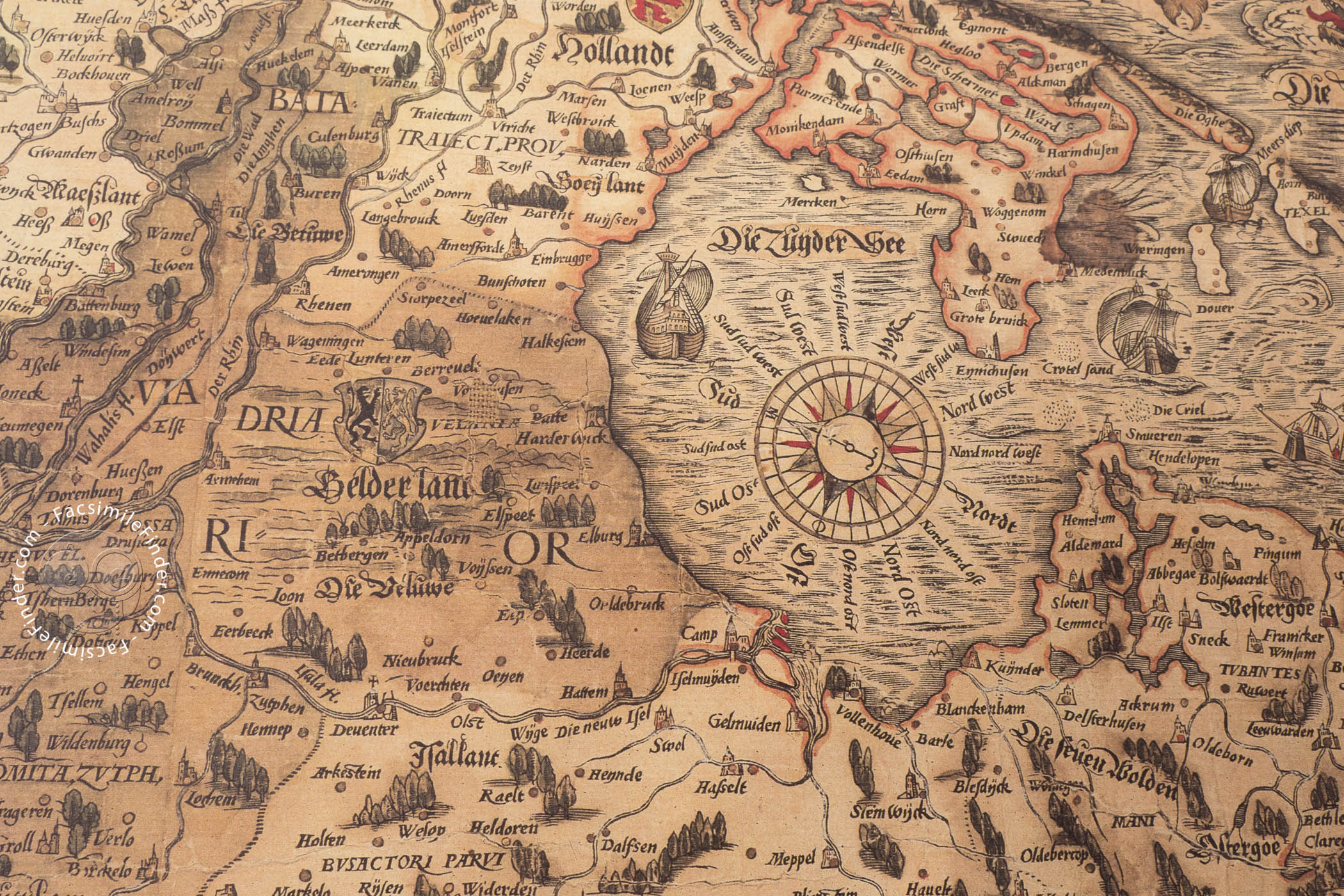
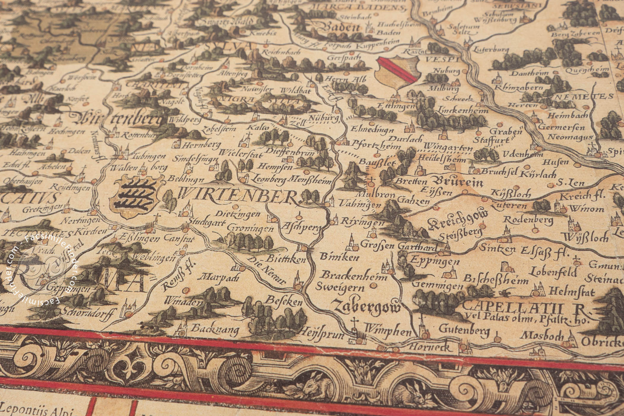
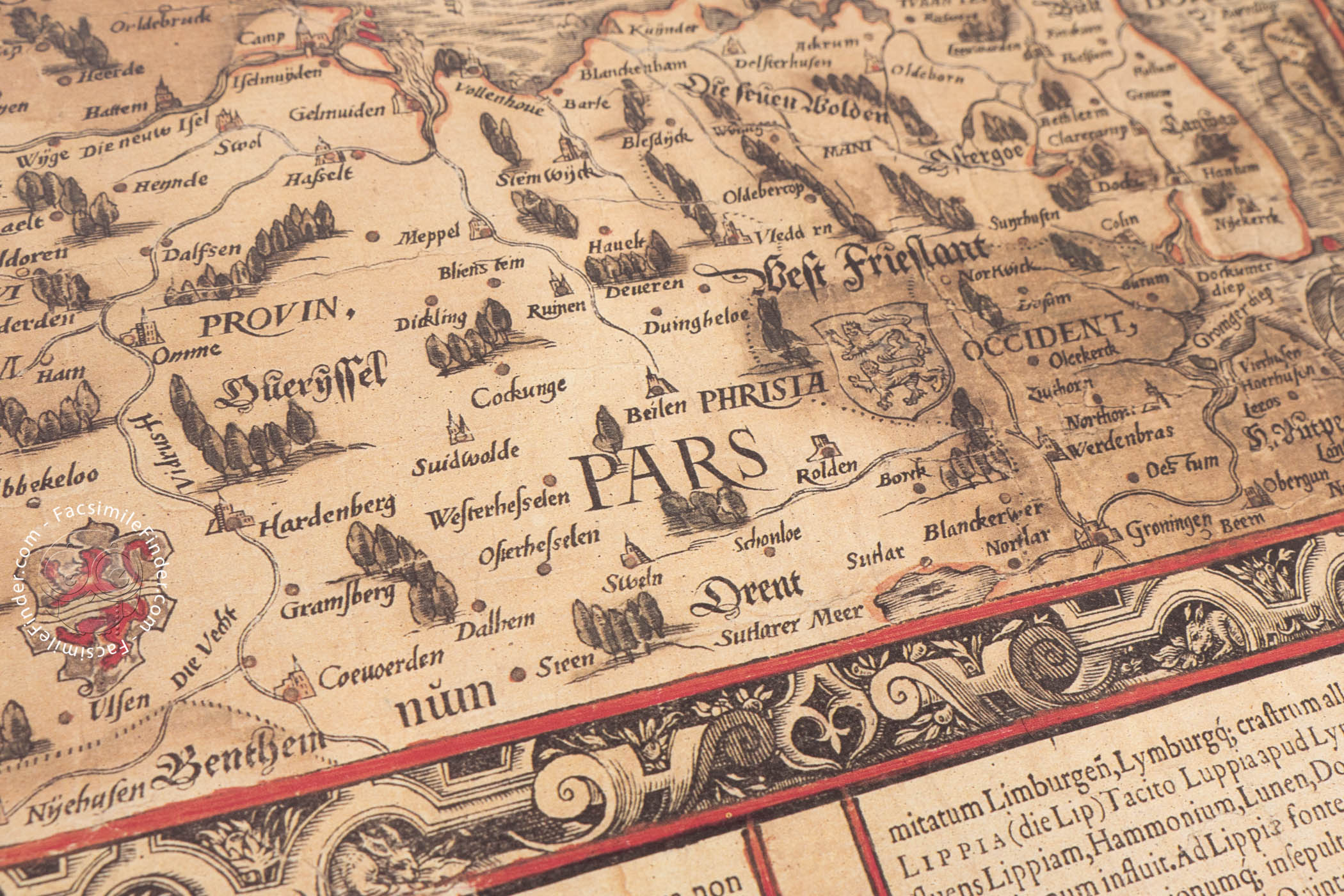
This superb hand-colored map of the Rhine, made in 1555, is the most important work of the German mathematician and cartographer Caspar Vopel (1511-1561), also known as Caspar Vopelius, and one of the milestones of sixteenth-century German cartography. It depicts the Rhine area very accurately, with abundant place names and inscriptions using both previous sources and primary information from Vopel himself. Oriented with west at the top, we can see the course of the Rhine and its adjacent areas in the most detailed map of the Rhine of the time.
Vopel’s map of the Rhine immediately set a new standard in the cartography of the area, and was copied and adapted until the end of the seventeenth century. Thus, it is one of the most important maps of sixteenth-century Germany.
A Map that Set Trends
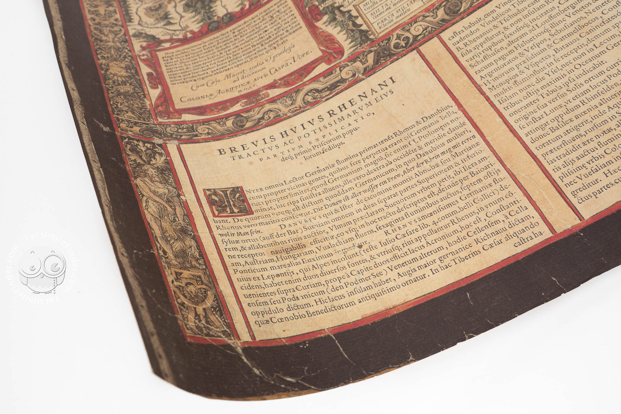
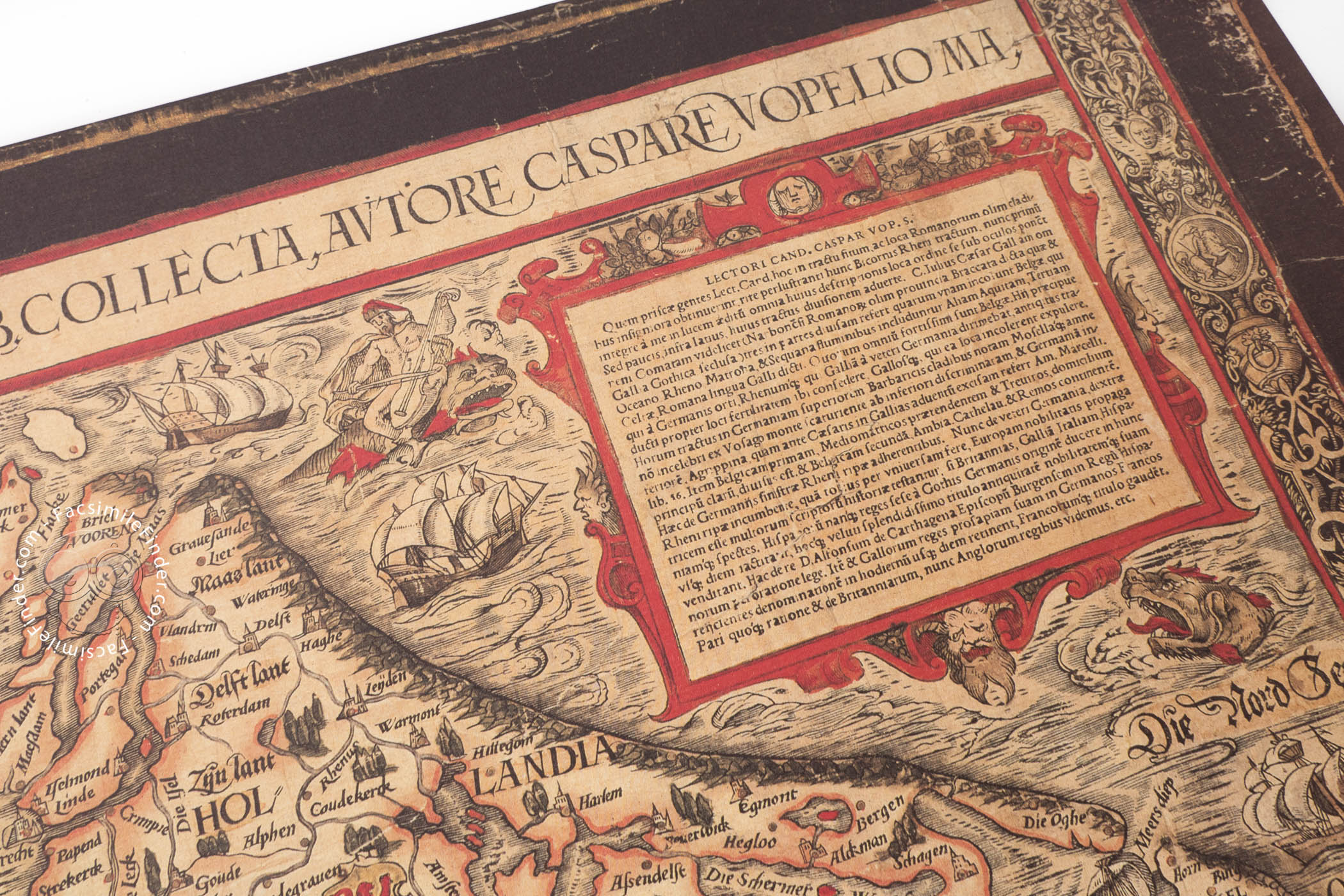
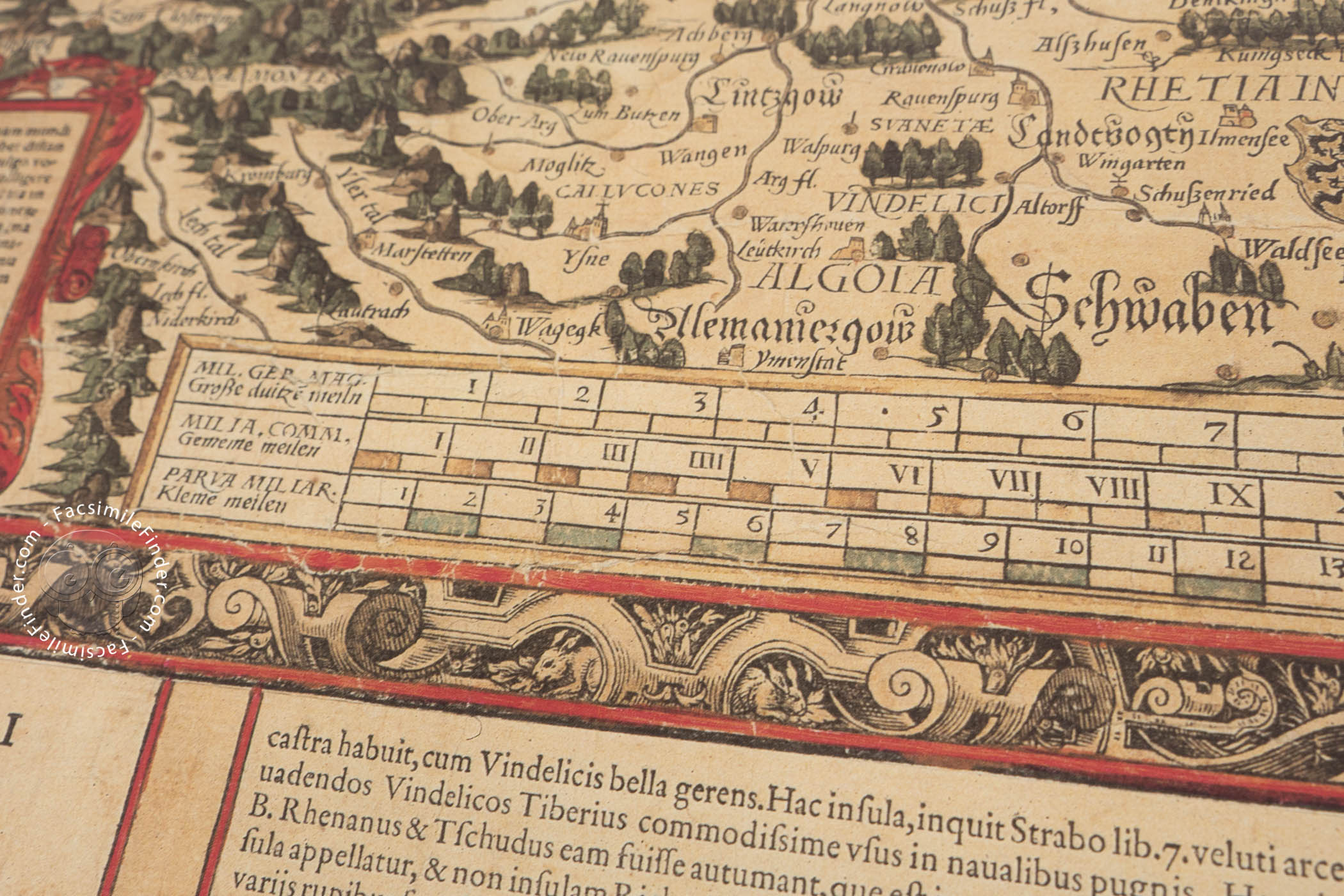
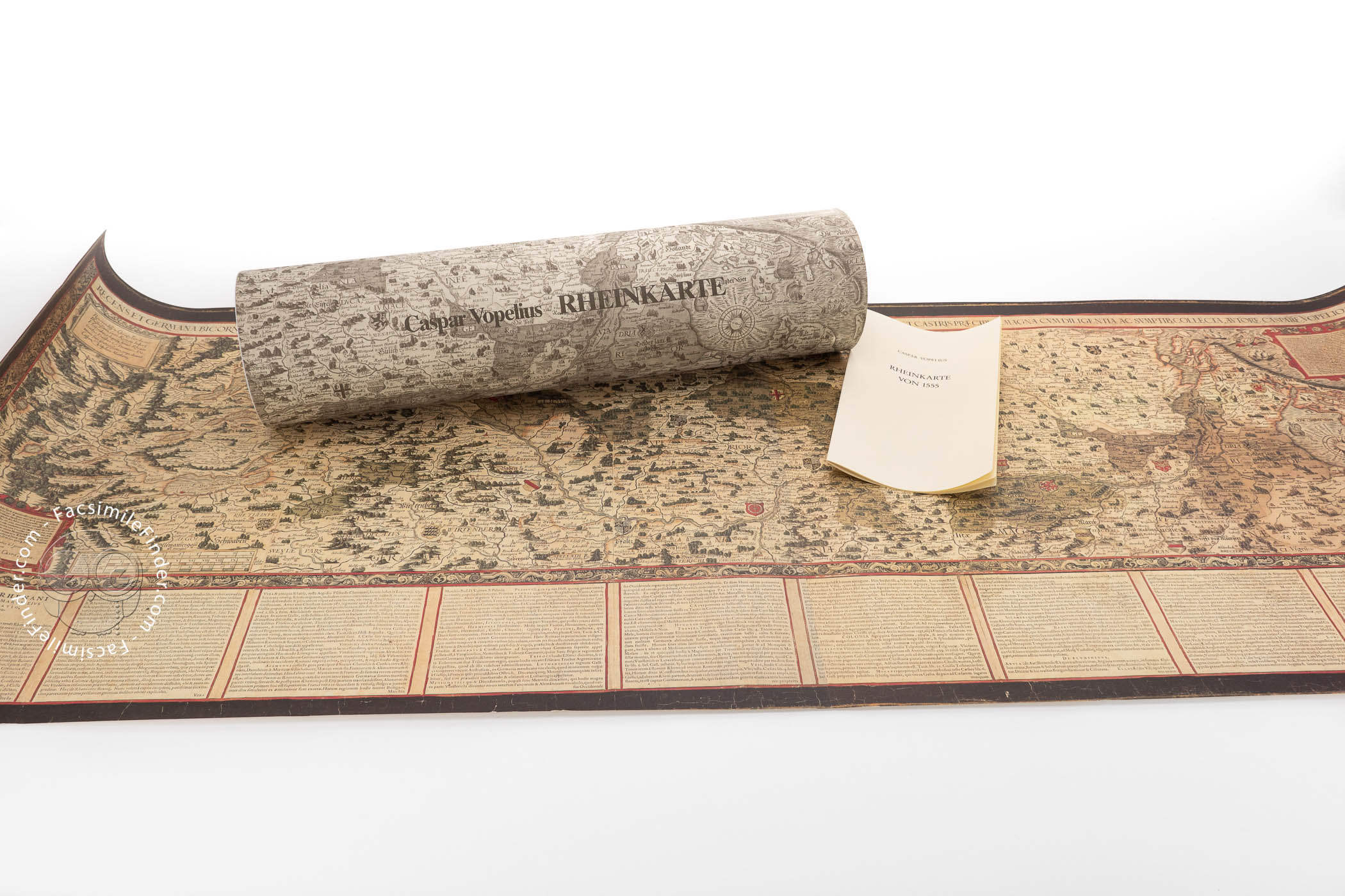
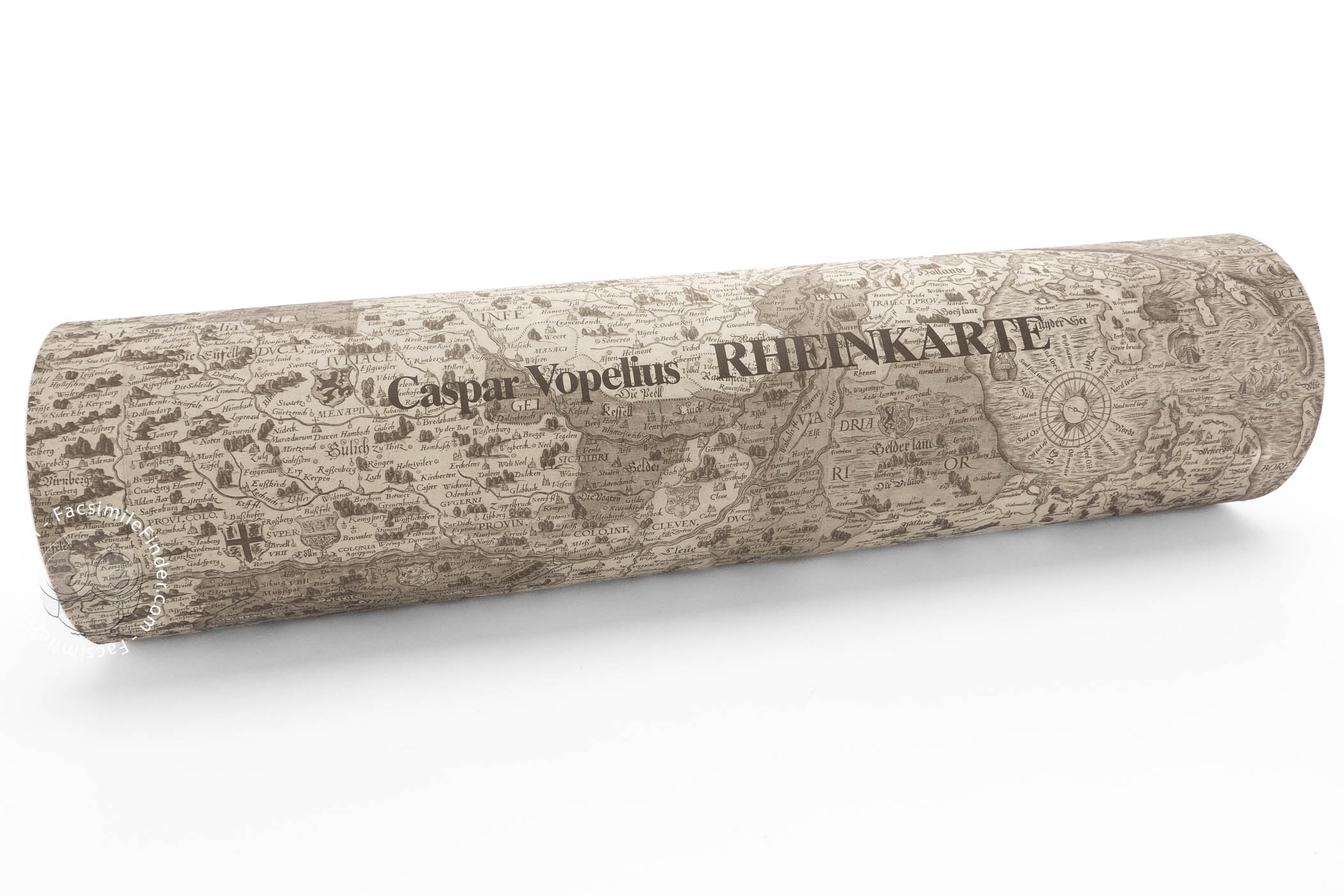
The map, oriented to the west, is a woodcut printed on three sheets, measuring altogether 37.5 x 150 cm. The information included in it, both graphically and in texts, is remarkably abundant. At the bottom of the map, a series of cartouches contain a lengthy explanation, written in German, of the natural features and peoples of the areas adjacent to the river. The cartouches are framed with typically Renaissance decorative elements, as we can also see in the rest of the map.
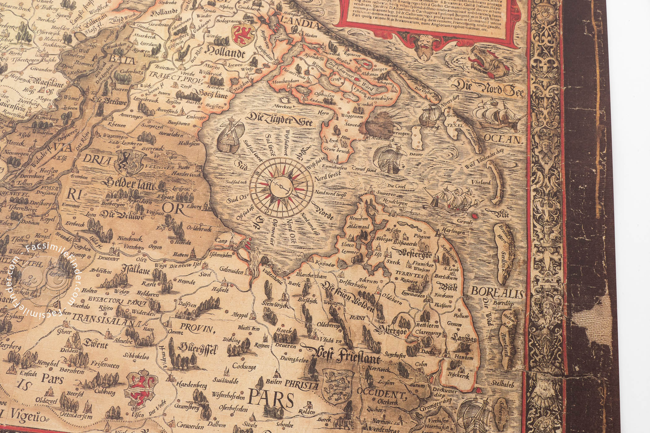
The map is full of geographical features, such as mountains, rivers, forests, and cities, as well as various coats of arms representing the different duchies. The portrayal of the course of the Rhine is very accurate, with abundant cities and villages indicated along it. The influence of early modern cartography is visible all over the map, as we can see at the right edge, i.e. the Northern Sea, with several ships, sea monsters, and a traditional compass rose.
At the upper right-hand corner of the map, a human figure playing a viol is riding a sea monster. That iconographic resource reminds us of Ortelius’ later map of Scandinavia (1571), where a so-called ichthyocentaur, a man with a horse’s fore-legs and the tail of a fish, also appears playing a viol.
In Vopel’s map of the Rhine several influences are visible, such as Tschudi’s map of Switzerland and Jacob van Deventer’s maps of the Low Countries. Nevertheless, it is thought that the information stems, in a great part, from Vopel’s own primary sources, showing a deep knowledge of the area. This exemplar of Vopel’s 1555 map of the Rhine is held in the Herzog August Library in Wolfenbüttel, under the shelfmark R 9.
Caspar Vopel. A Hero of Early Modern German Cartography
Caspar Vopel (1511-1561) was one of the key figures of sixteenth-century German cartography. Born in the village of Medelbach, he studied mathematics at the University of Cologne, starting his career as a map and instrument maker after 1530, creating several globes and astronomical instruments.
In 1545, Vopel made a wall map of the world, and a map of Europe in 1555. His map of the Rhine, also created in 1555 and reproduced in this facsimile, was strongly influential, becoming an archetype until the end of the seventeenth century.
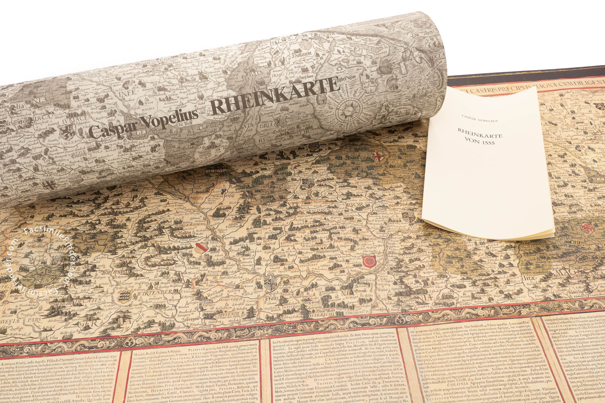
We have 1 facsimile edition of the manuscript "Caspar Vopelius: Map of The Rhine of 1555": Vopelius, Rheinkarte von 1555 facsimile edition, published by Mueller & Schindler, 1982
Request Info / Price