
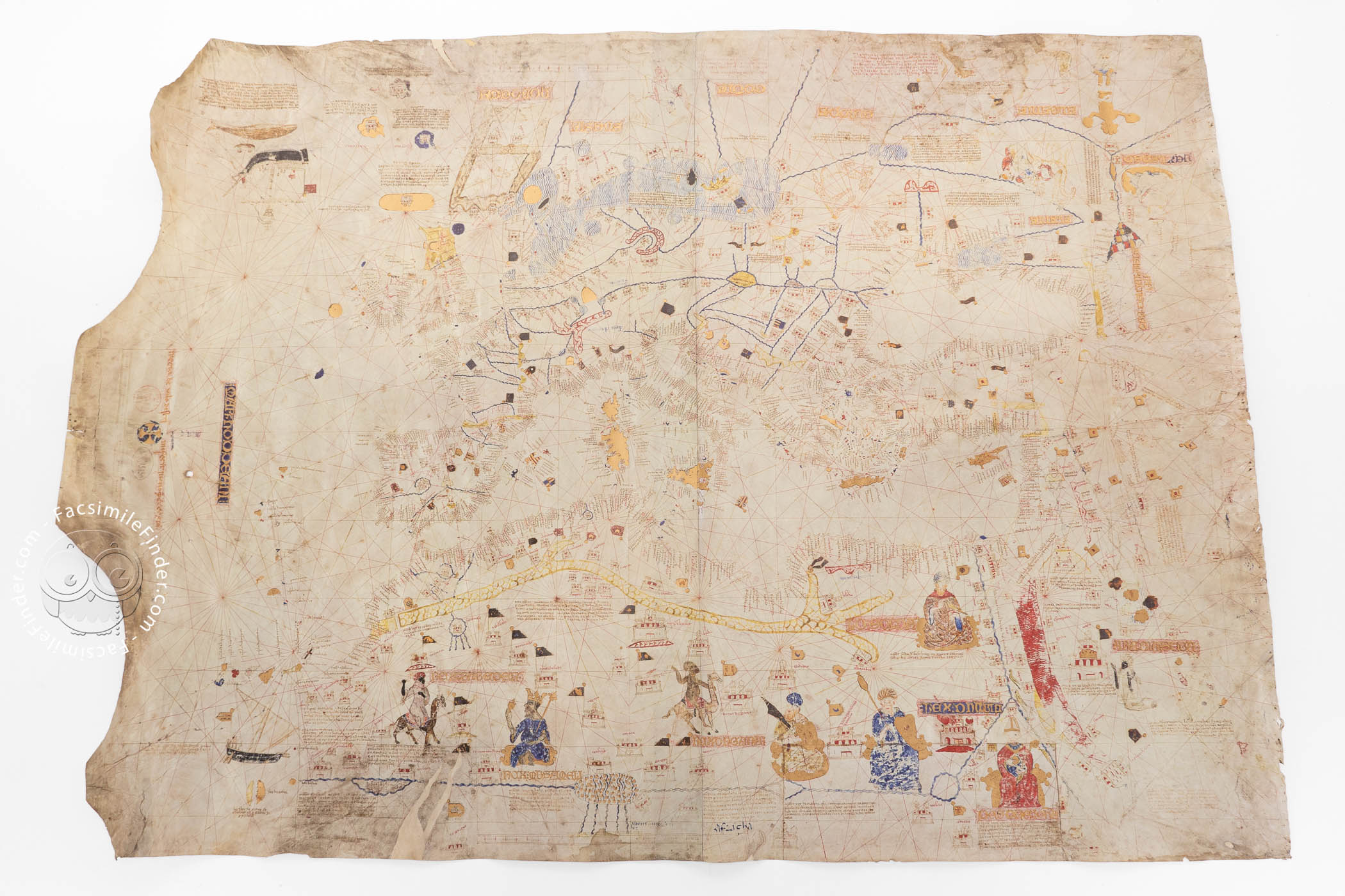

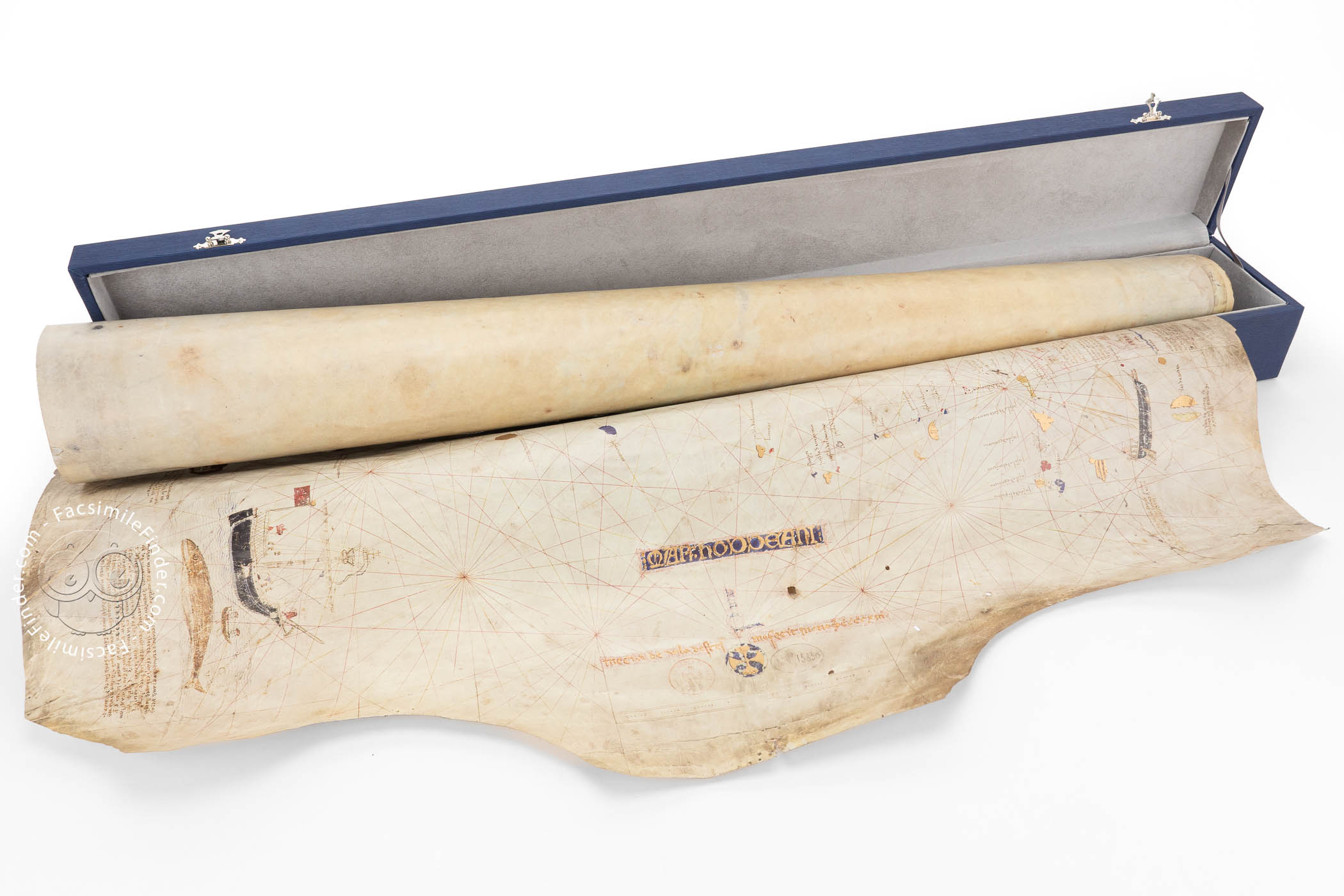
This nautical chart, made by the Majorcan cartographer Mecia de Viladestes in 1413, is a masterpiece of late medieval cartography. It shows the Mediterranean Sea, Europe, Asia, and northern Africa, as well as a part of the Atlantic Ocean and its islands. Through a very rich iconographic decoration, different cultures and religions are shown, making it a fundamental document for the study of the social and economic situation of both the Mediterranean and Atlantic contexts in the fifteenth century. It is one of the most valuable items in the collection of nautical charts held by the National Library of France.
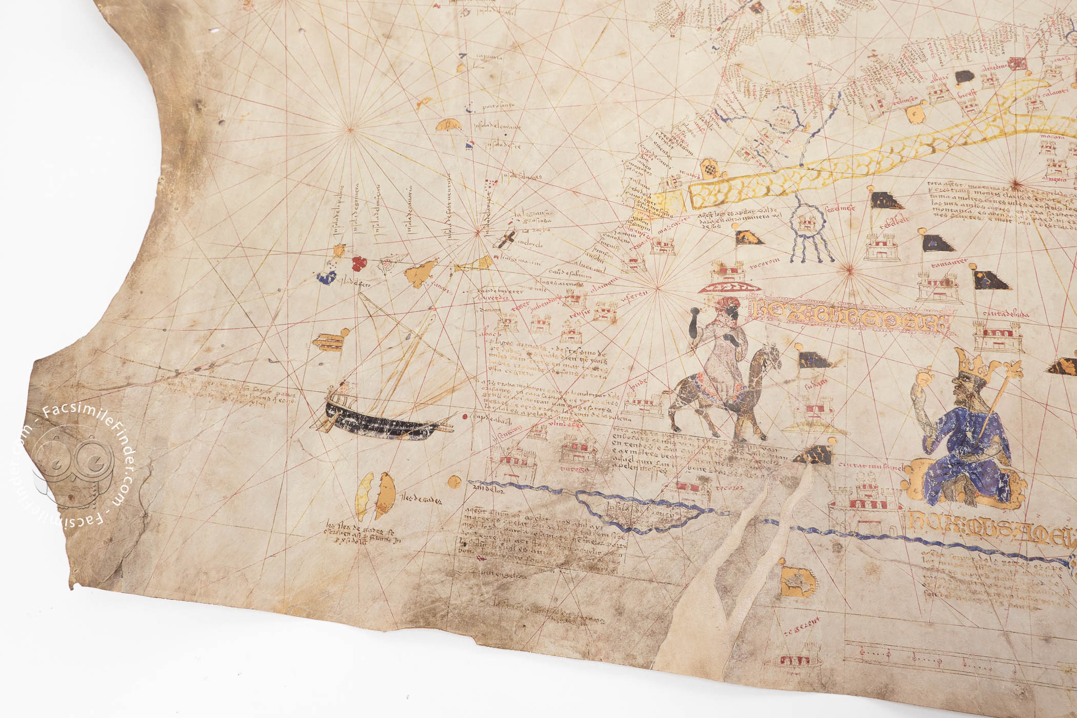
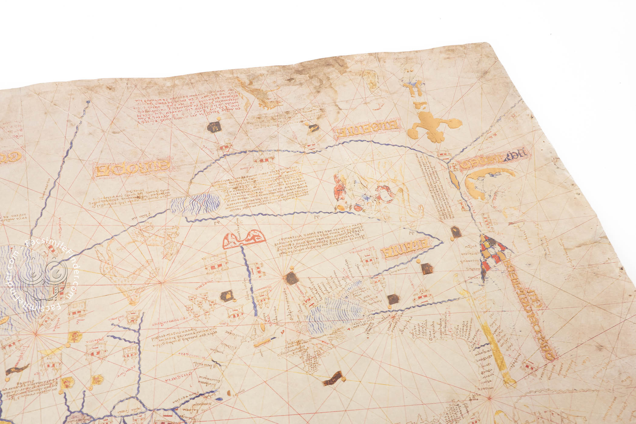
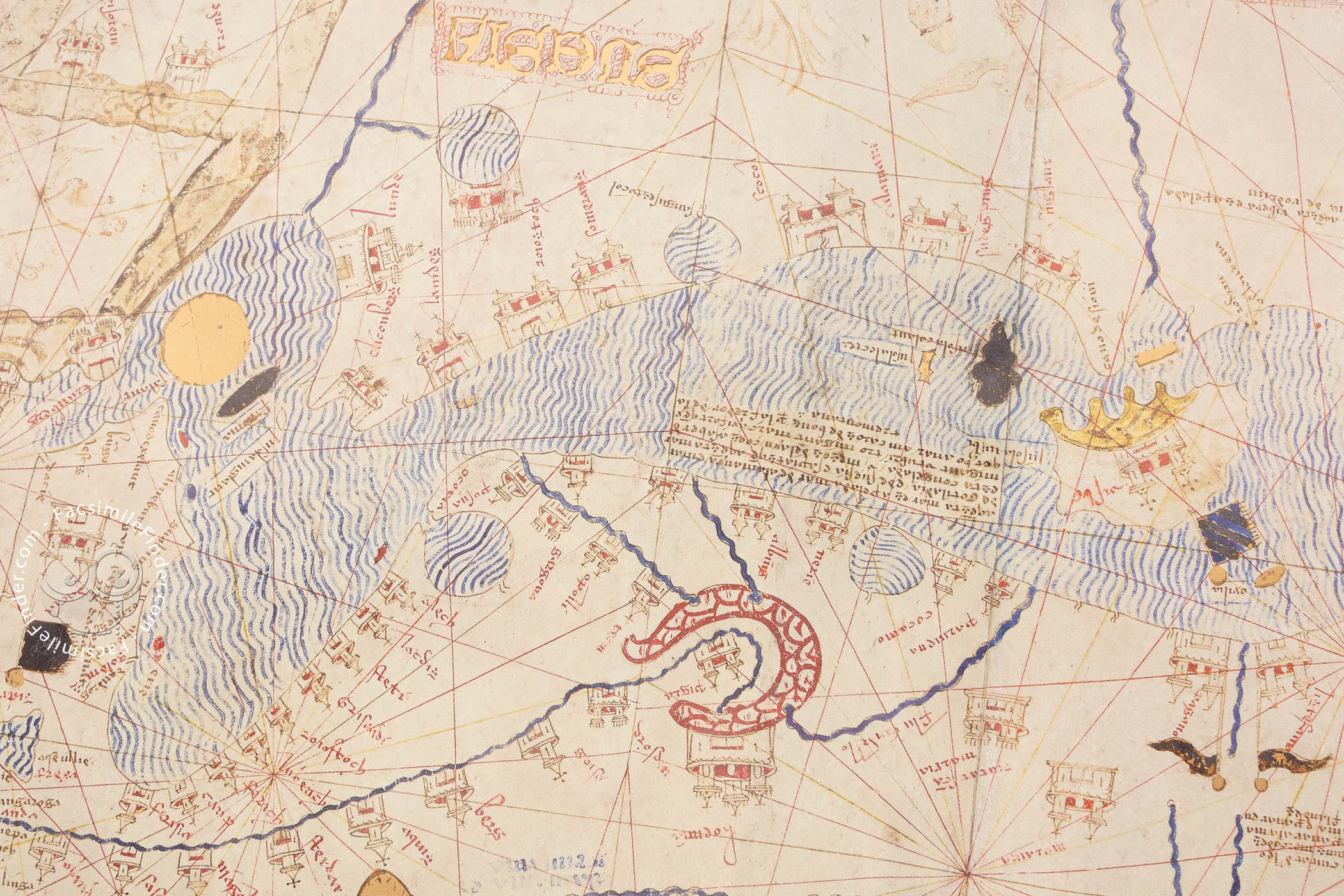
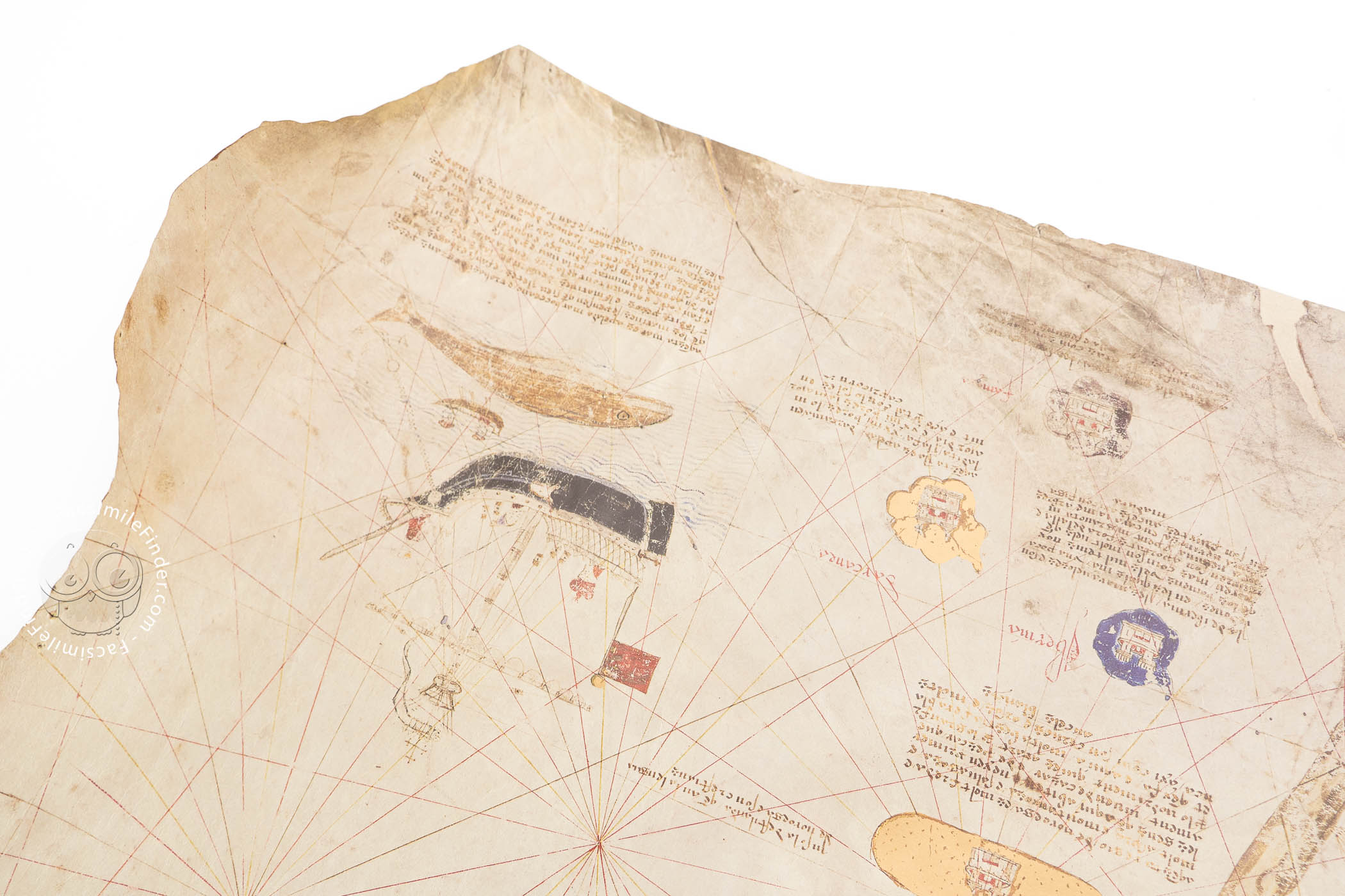
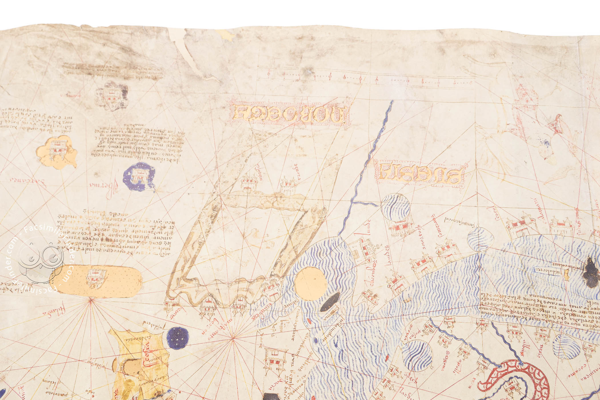
The chart is signed and dated by Viladestes as Meciá de Viladestes me fecit in ano MCCCCXIII (Mecia de Viladestes made me in 1413), and its iconographic program includes abundant images of cities and monarchs, depictions of curious animals and rich explicative inscriptions, as well as various economic activities, like the hunting of whales in the northern Atlantic.
A Cartographic Image of Its Time
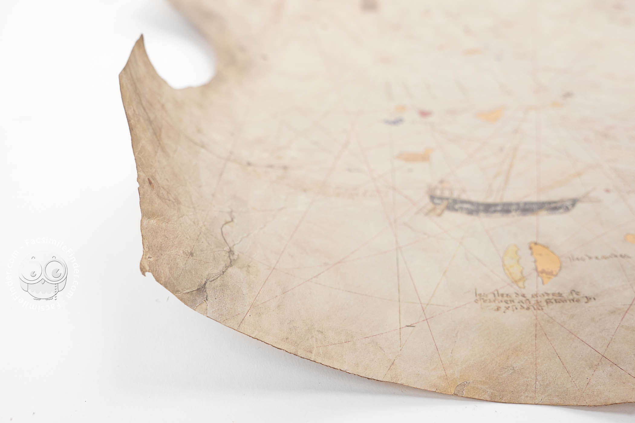
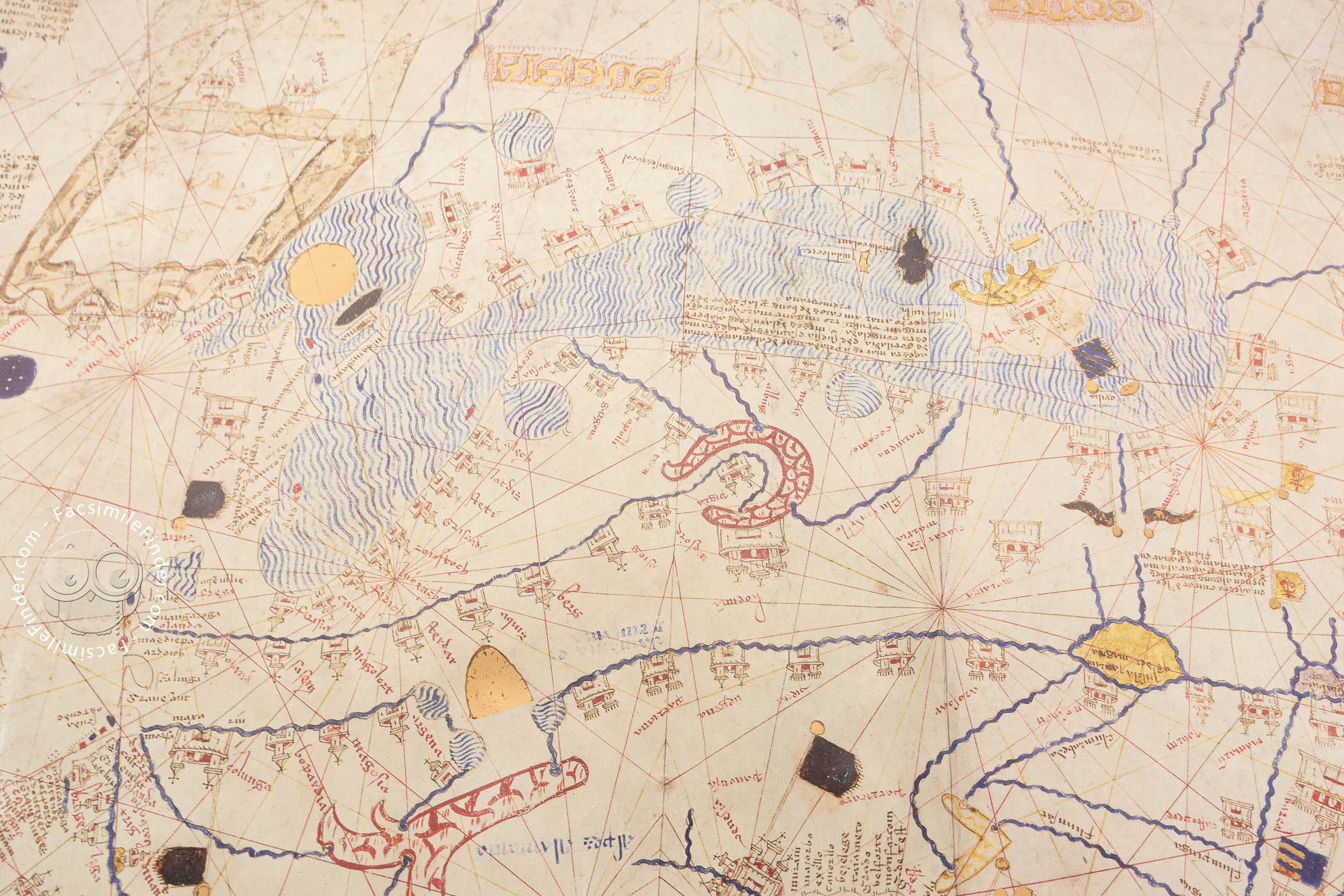
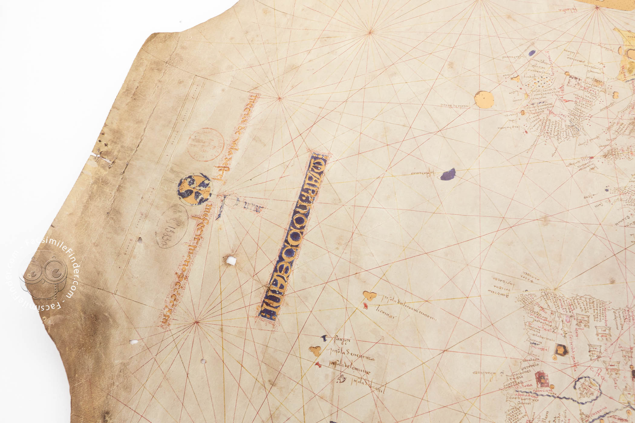
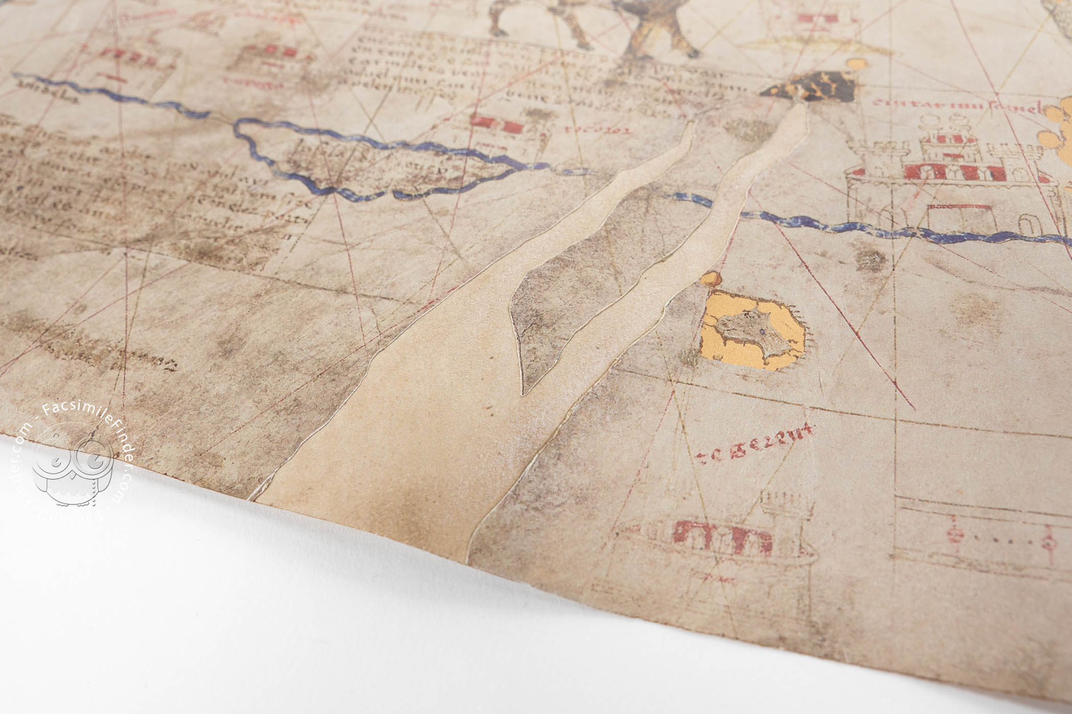
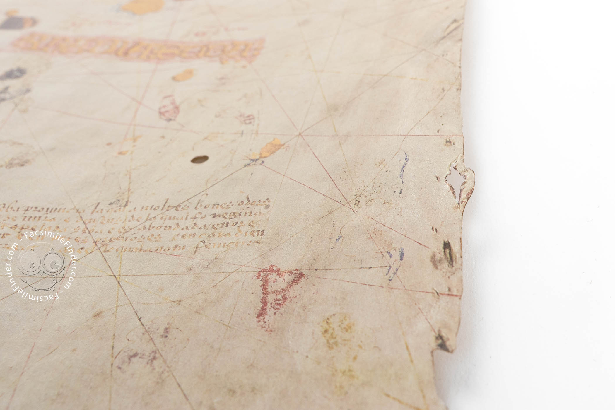
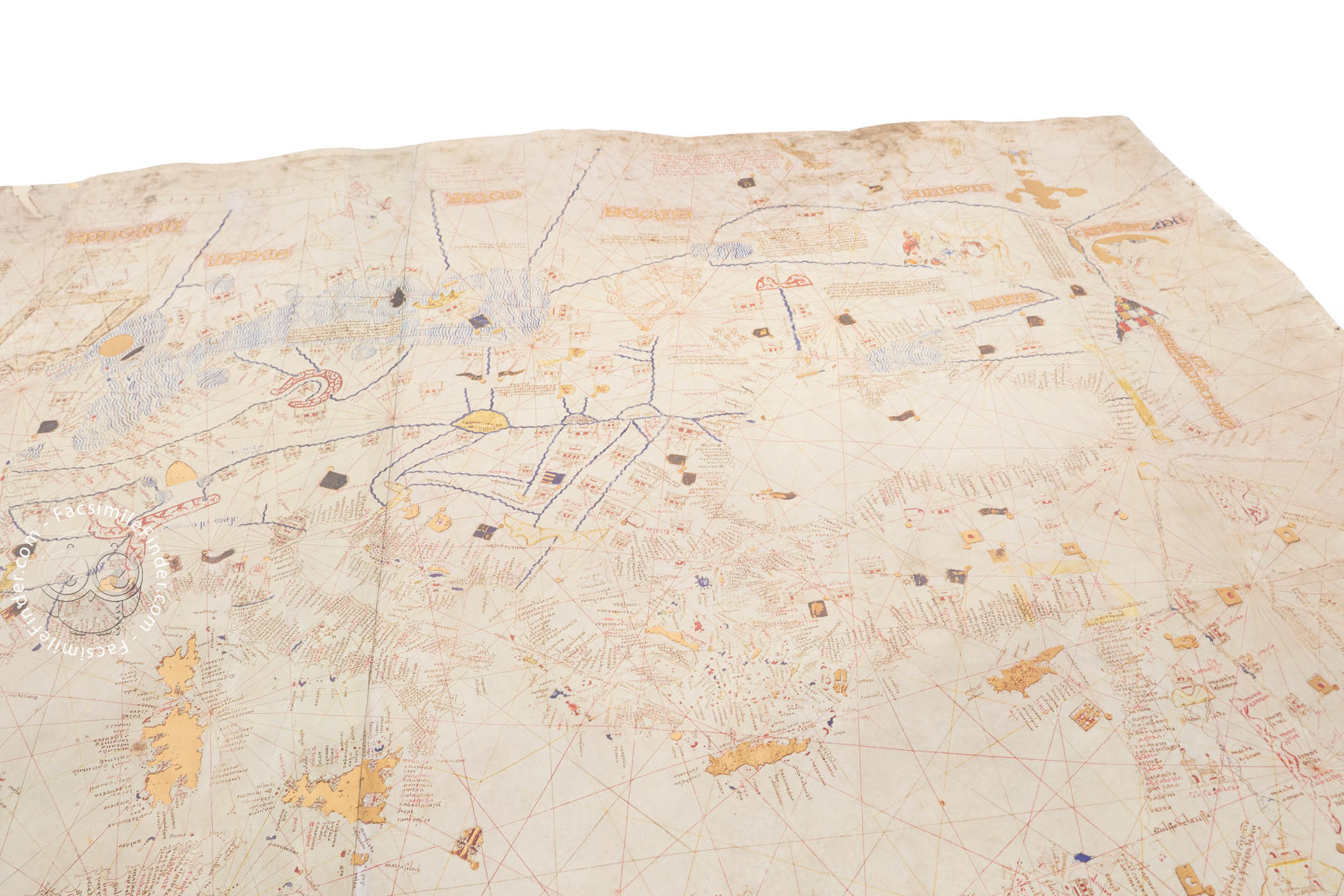
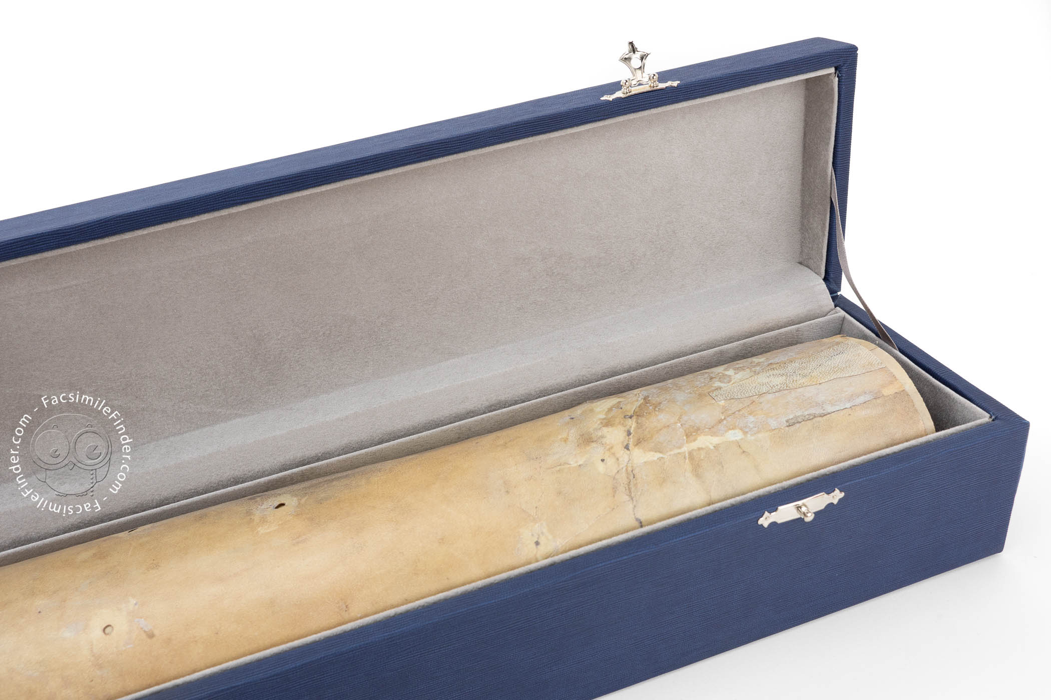
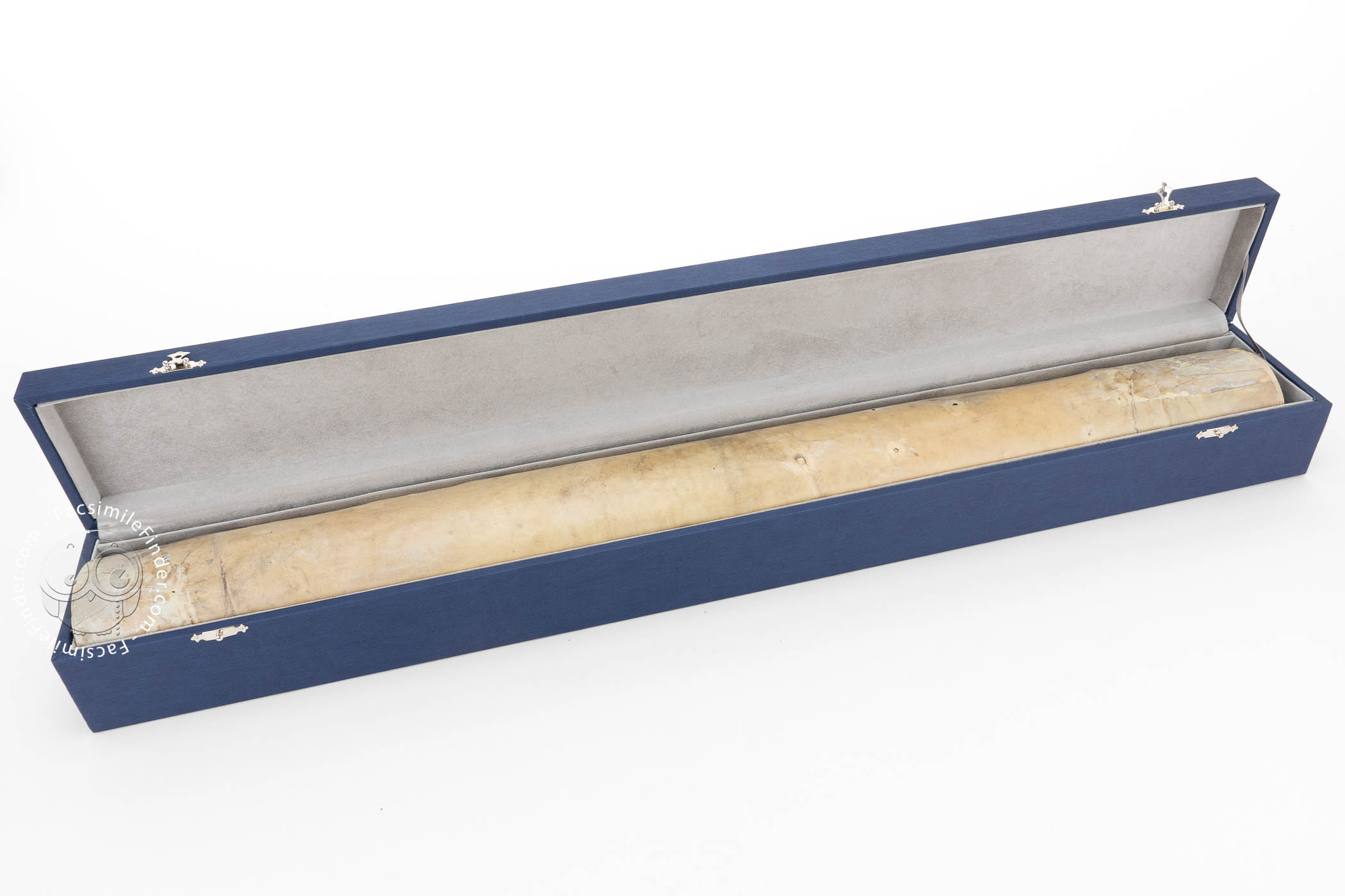
This chart is drawn on parchment, and measures 84,5 x 118 cm. Its iconographic features reflect the different commercial and religious traditions in the fifteenth century. The whaling scene, drawn near the northwestern edge of the map, shows the commercial interests of Atlantic Europe, and abundant informative details are depicted all over the chart.
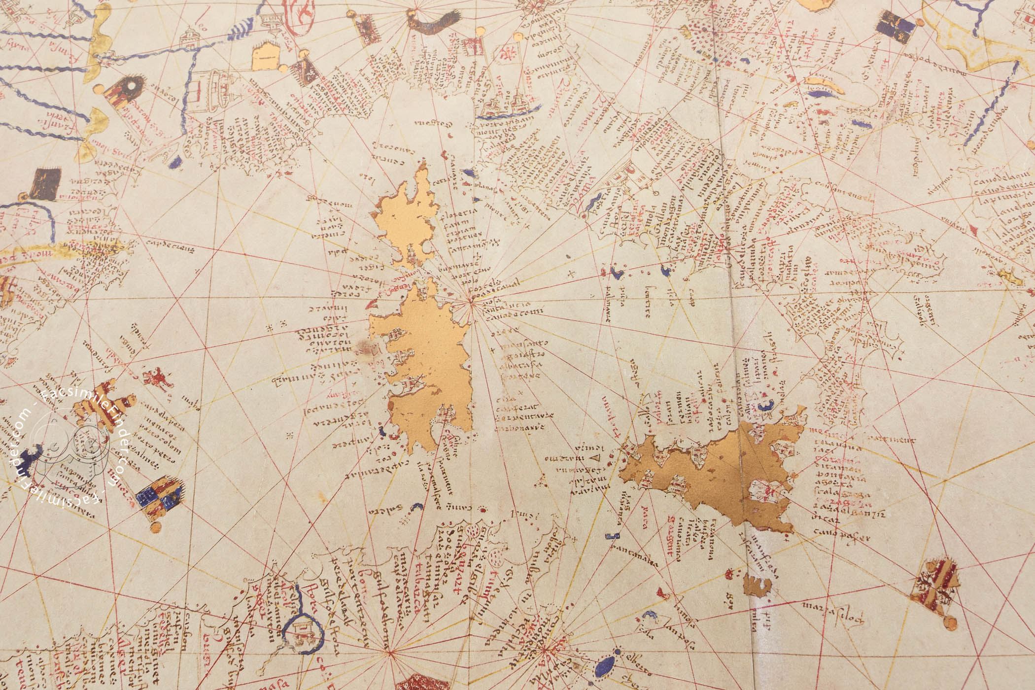
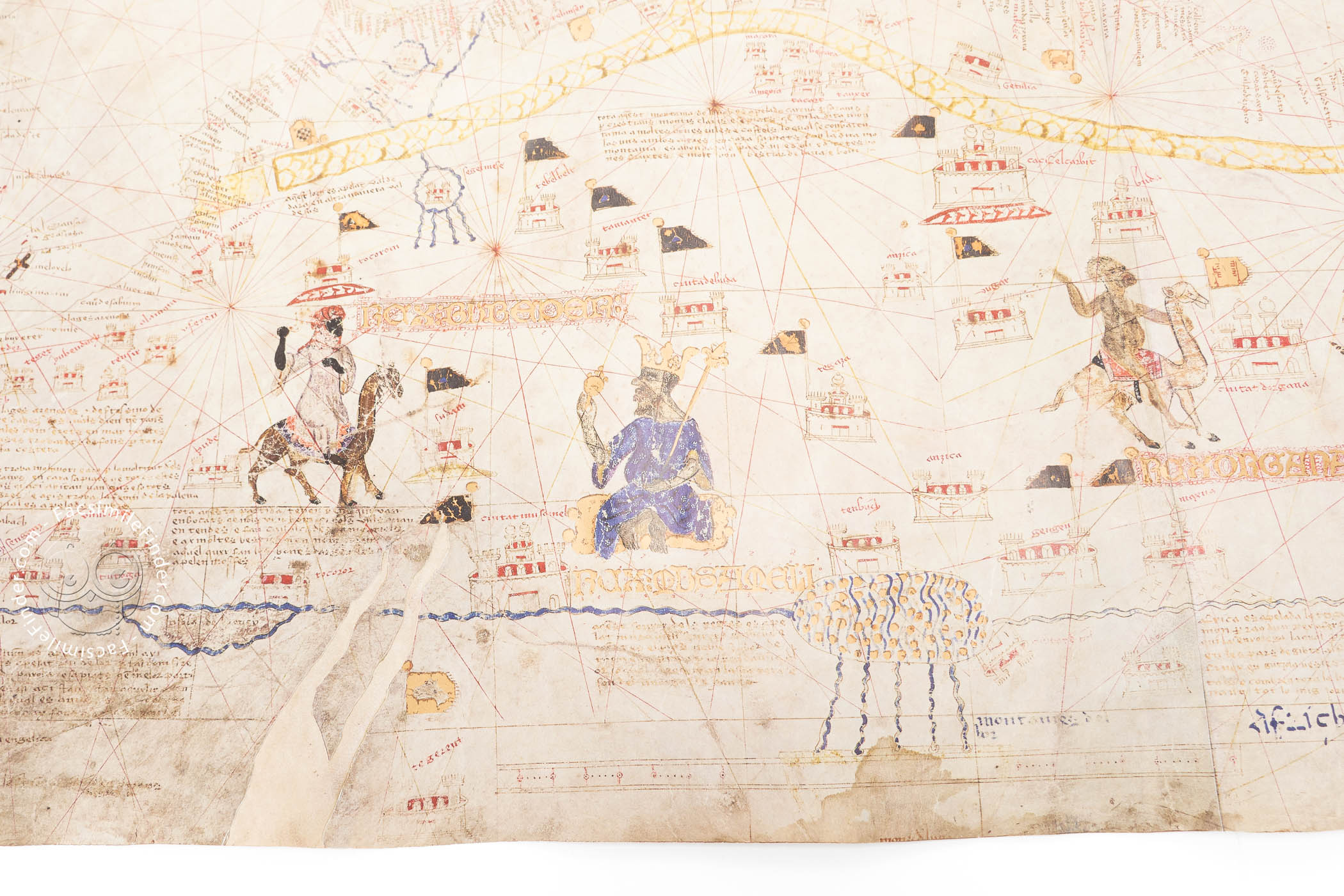
Both in northern Africa and Asia, different kings and rulers are drawn, and the dominant religion of the regions and cities is marked by graphic elements drawn in the cities. Thus, the Christian territories are marked by towers with a cross on the top, while most of the regions of Africa and Asia have towers with crenellations or domes.
We can see important references to the Old Testament, such as Noah's Arch on the top of the Ararat Mount, and Mount Sinai with an inscription explaining that it was there where Moses received the Tablets of Stone from God, but there are also important places for Islam.
Thus, a prominent representation of the city of Mecca is drawn, with a black man kneeling, looking at the city, and praying. This is a very interesting example of the value of Mecia de Viladestes' chart as a reflection of the religious plurality in the geographic context of the fifteenth century.
Regarding the chromatic features of the work, gold pigment is used for several islands and flags that mark the different regions. The Baltic Sea, the rivers, and the clothes of some of the sovereigns are painted a rich blue, and the Red Sea is colored in intense red.
Both the abundant place names and textual information of the chart are written in Majorcan dialect, making this work a very useful document for studying not only its geographic, artistic and cultural features, but also as a source for toponymical studies.
A Journey from Spain to France
In 1806, the Spanish writer Joaquín Lorenzo Villanueva, in his work Viaje literario a las Iglesias de España (Literary Travel to the Churches of Spain), described a large and remarkable map, signed by the Majorcan cartographer Mecia de Viladestes, which was held in the Carthusian monastery of Vall de Cristo, located near Castellón.
During the ecclesiastical Confiscations of Mendizábal (1836-37), one of the biggest liberal confiscations in Spain, the monks of the Vall de Cristo had to dispose of the goods of the monastery, and, after various vicissitudes, the map arrived in the National Library of France, where it is still located under the shelfmark GE AA-566 (RES).
Mecia de Viladestes was one of the most important Majorcan cartographers of the first half of the fifteenth century. Of Jewish origin, he converted to Christianity and worked in Majorca creating nautical charts, and contributing to the development of the Majorcan school of cartography. He is the author of another famous chart, dated 1423 and located in the Biblioteca Medicea Laurenziana in Florence with the shelfmark Ashb 1802.
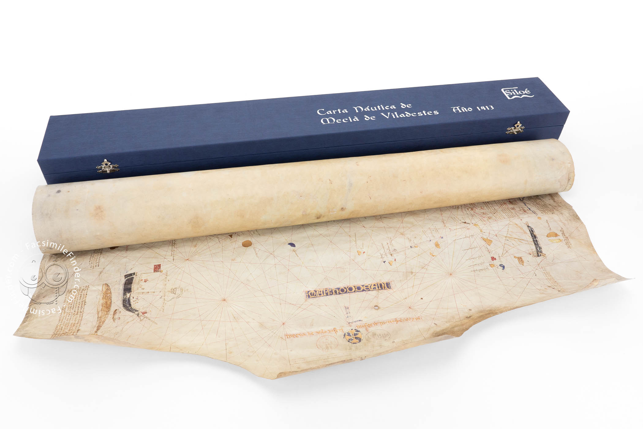
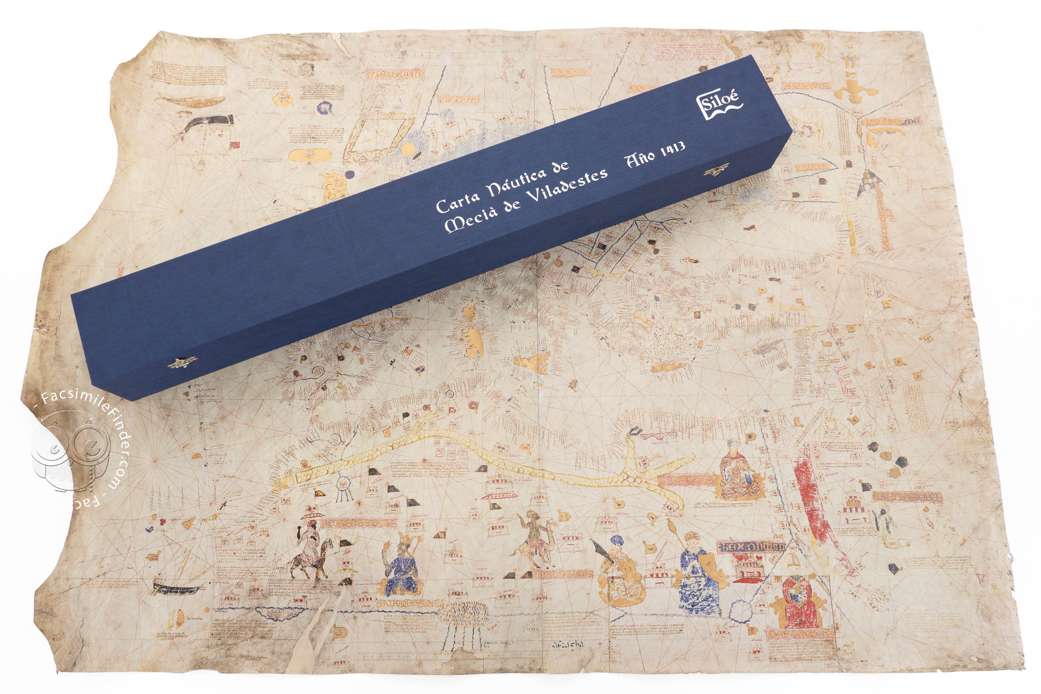
We have 1 facsimile edition of the manuscript "Carta Naútica de Mecia de Viladestes": Carta Naútica de Mecia de Viladestes facsimile edition, published by Siloé, arte y bibliofilia, 2016
Request Info / Price