

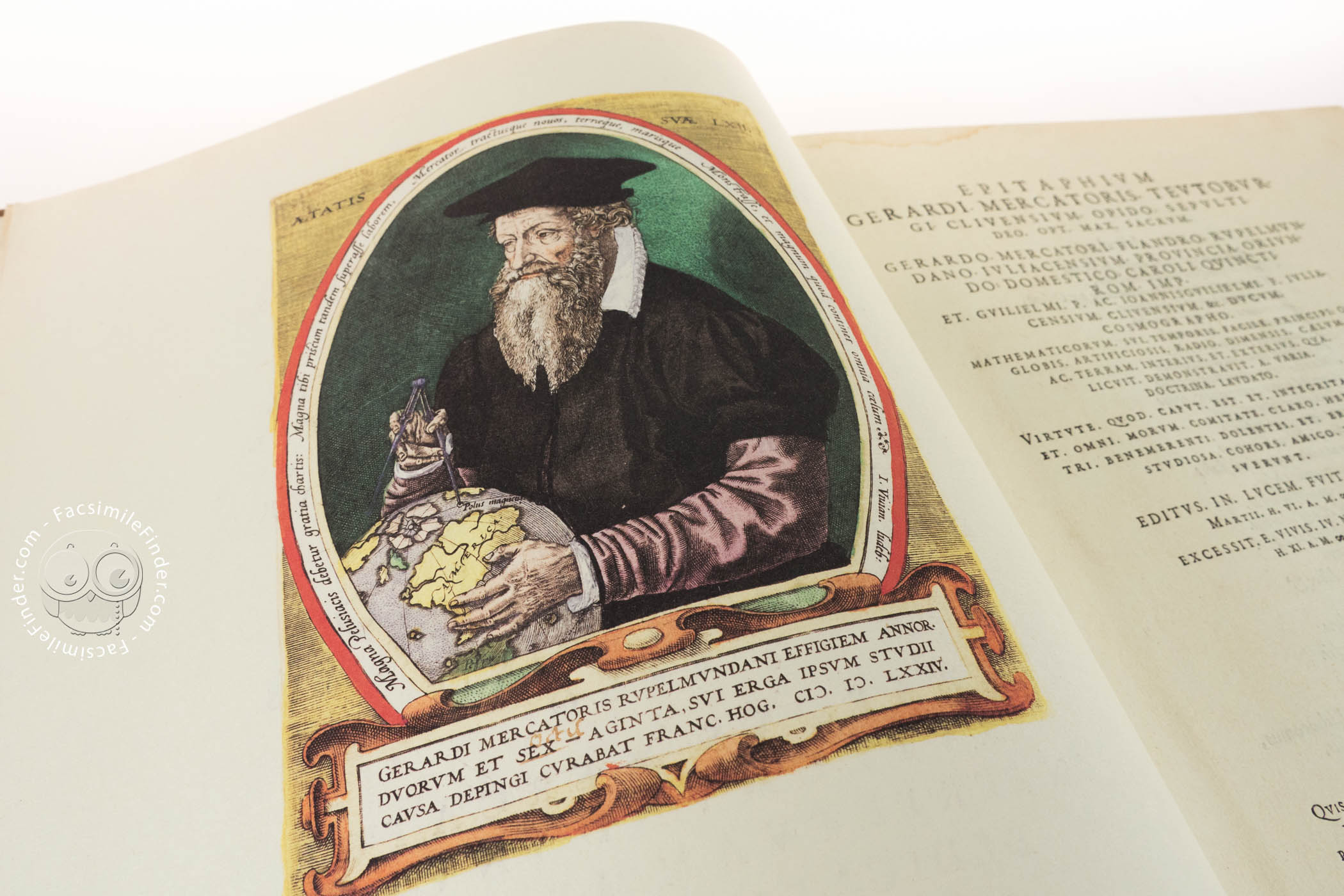
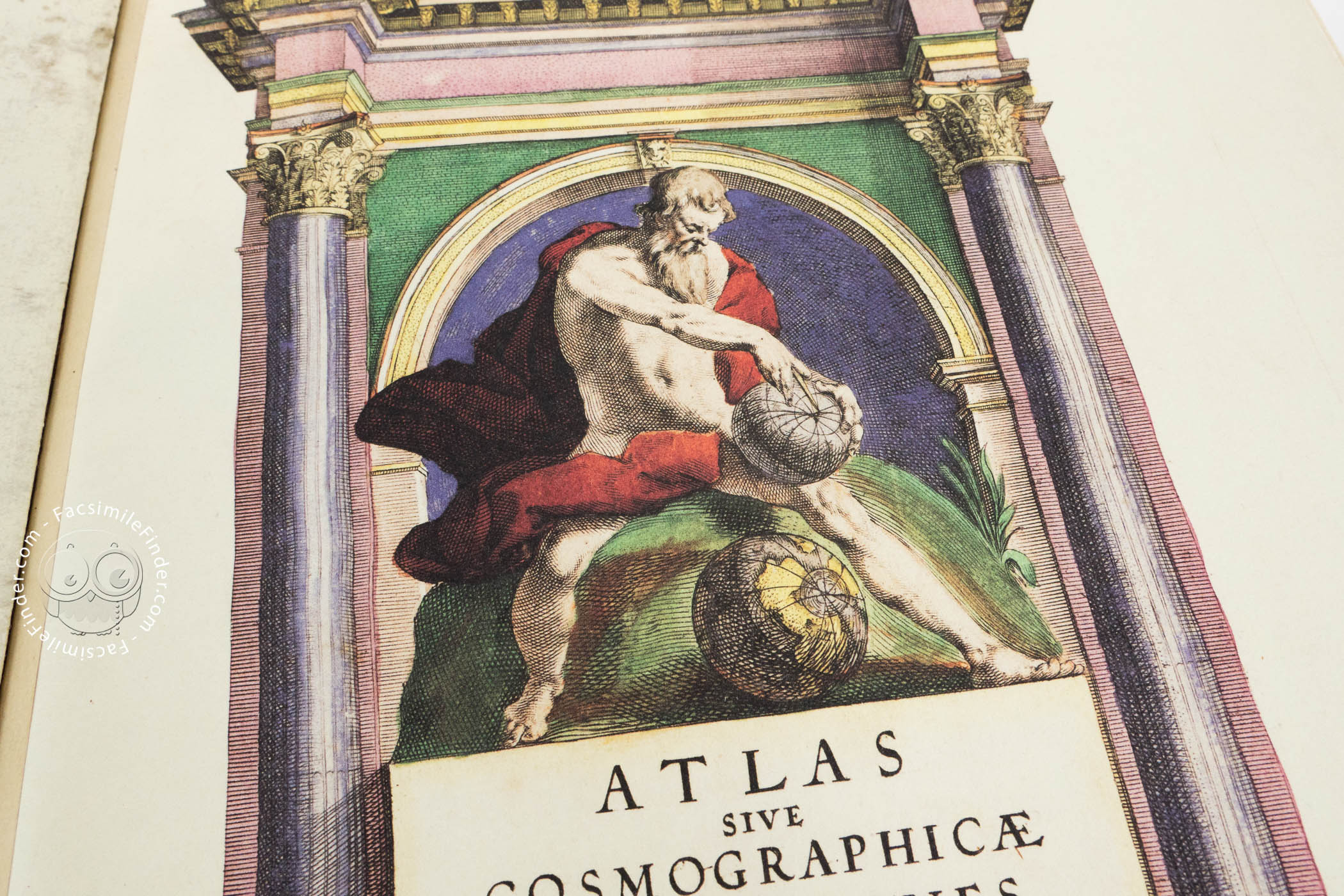
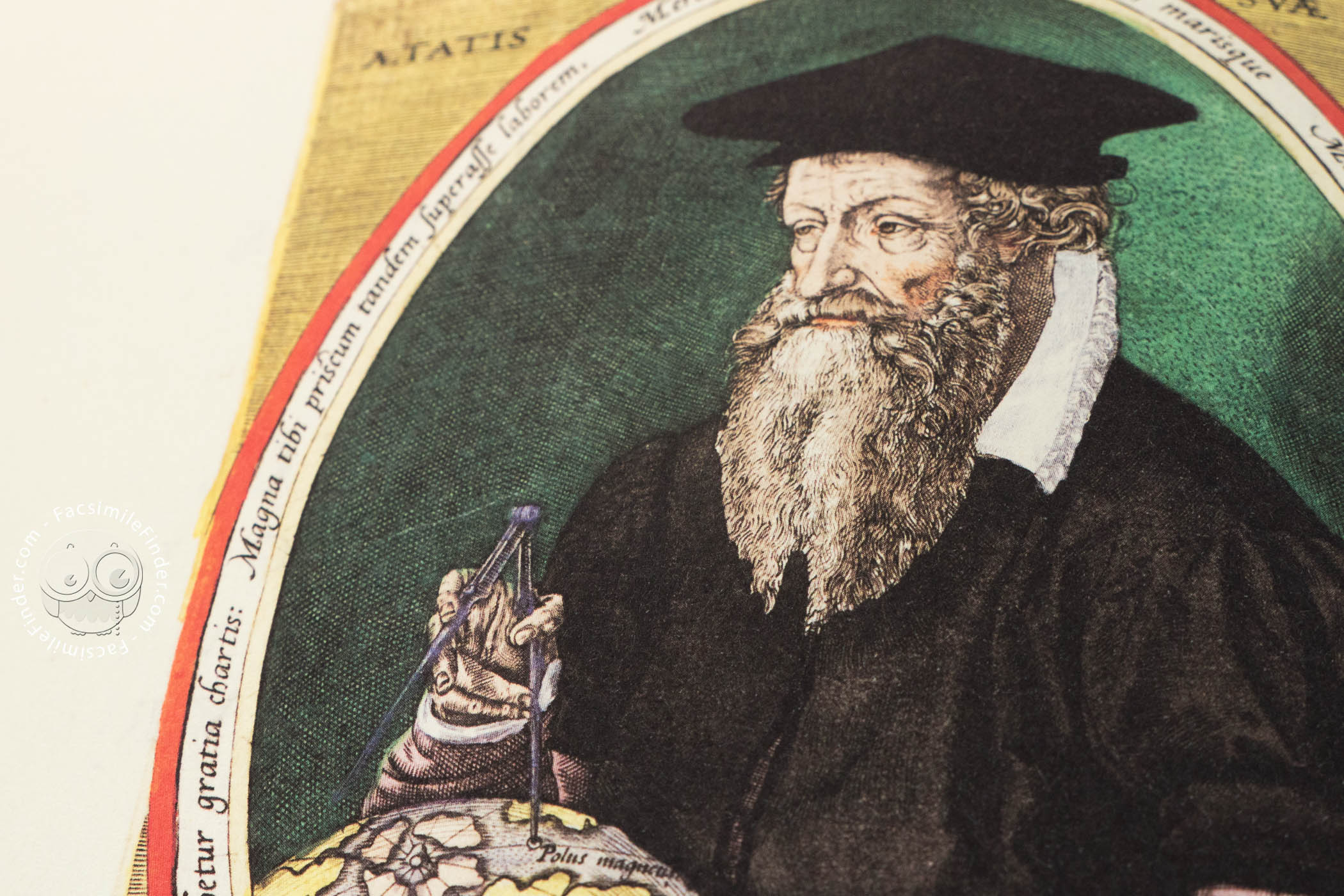


Gerardus Mercator (1512-1594) was a cartographer, philosopher and mathematician. He is best known for his work in cartography, particular the world map of 1569 based on a new projection which represented sailing courses of constant bearing as straight lines. He was the first to use the term Atlas for a collection of maps.
The First Atlas
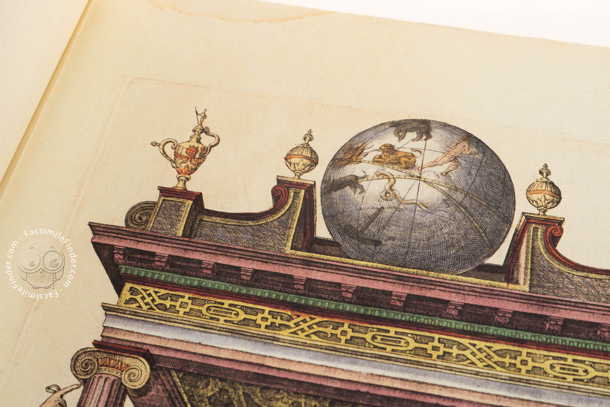
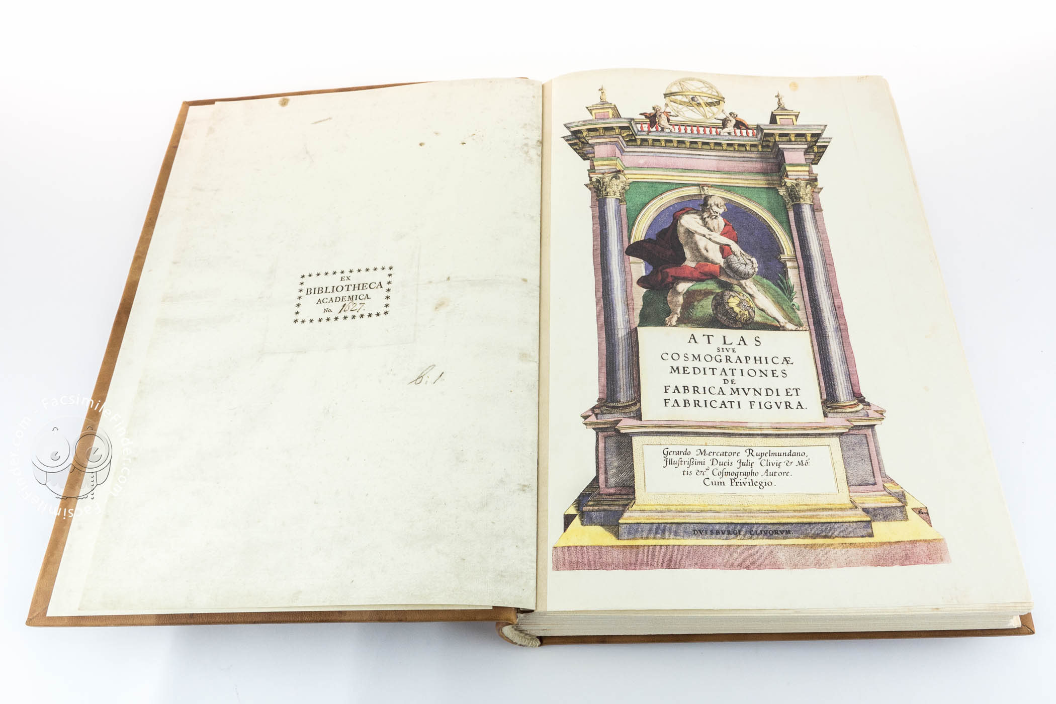
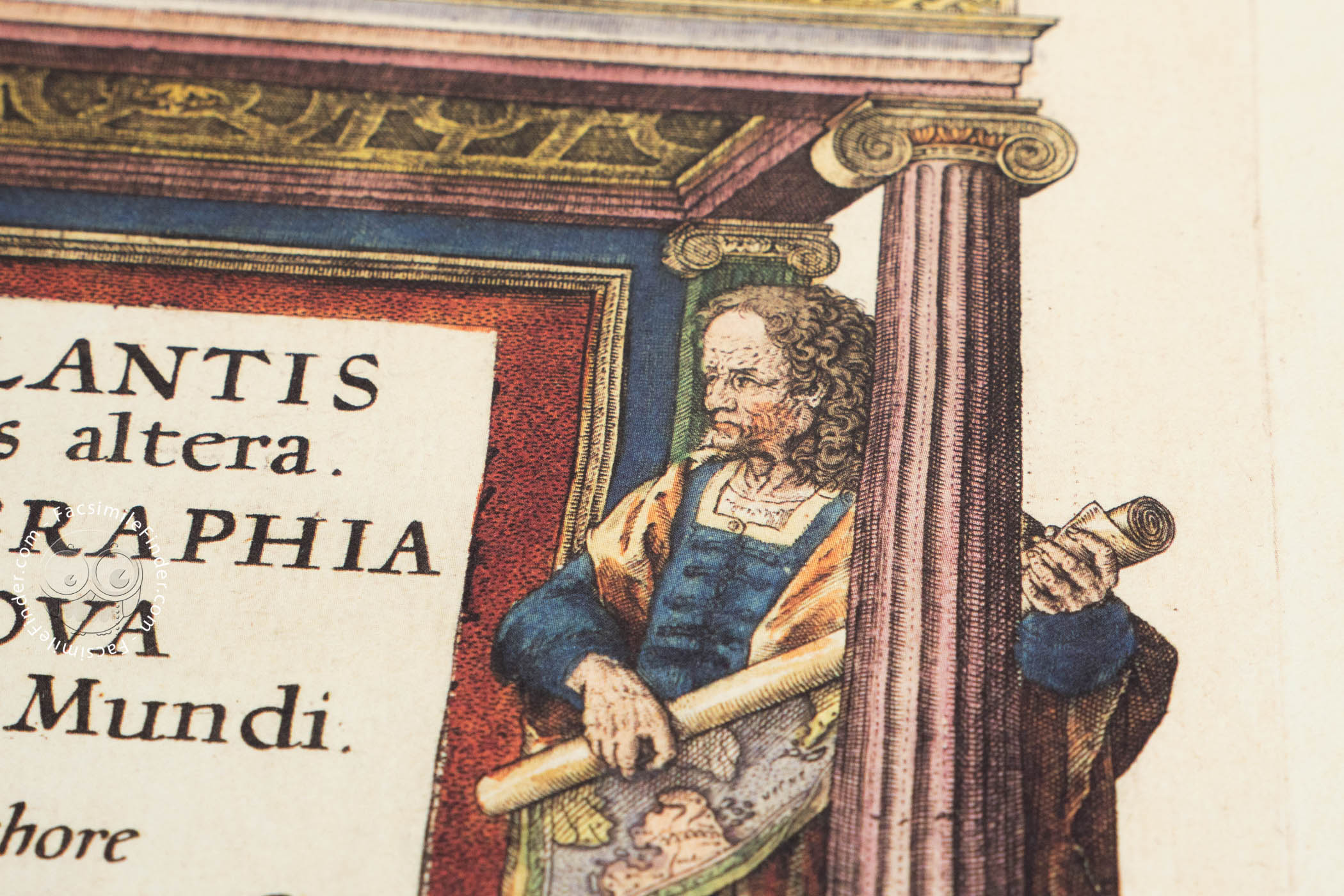
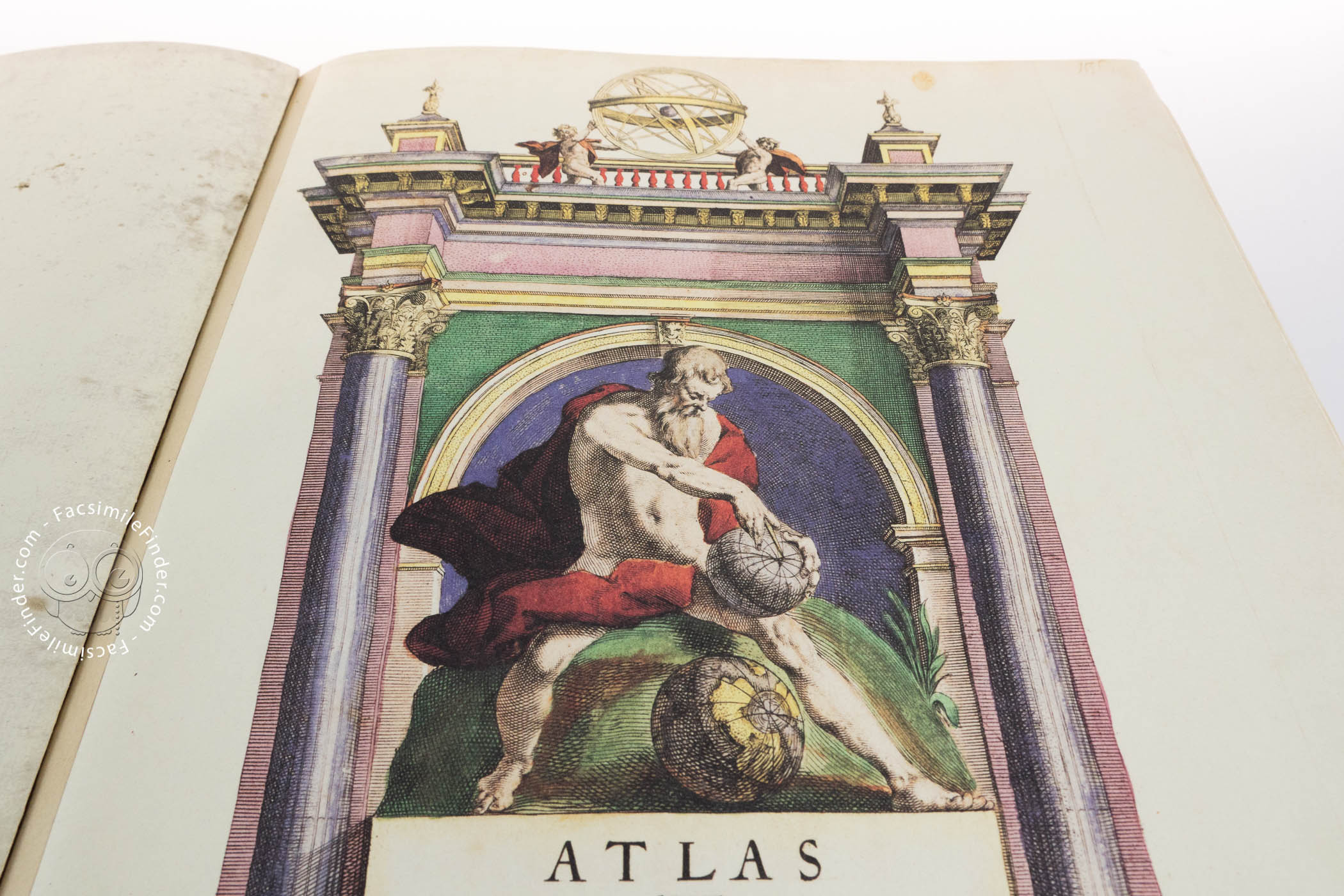
The Torun copy of Mercator’s atlas of 1595, entitled ATLAS SIVE COSMOGRAPHICAE MEDITATIONES DE FABRICA MVNDI ET FABRICATI FIGVRA is composed of two parts: ATLANTIS Pars altera, GEOGRAPHIA NOVA TOTIVS MVNDI and ITALIAE, SCLAVONIAE, GRAECIAE, geographice Per Gerardum Mercatorem Illustrissimi Ducis Juliae, Cliuiae, etc. Cosmographum Duysburgi edita. It was made using a copperplate on vat paper and hand-coloured. The first of them is the final supplement to the publication started by Mercator in 1585. The second one was completed and published in 1589 as an independent collection of maps of the countries of Southern Europe.
The Biography of the Author
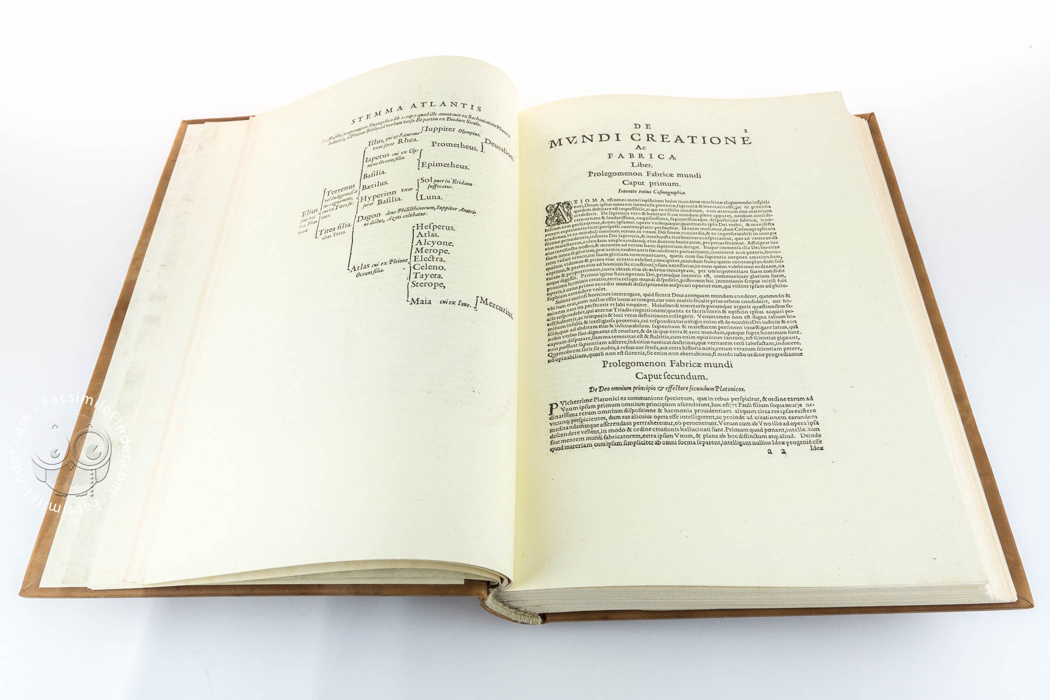
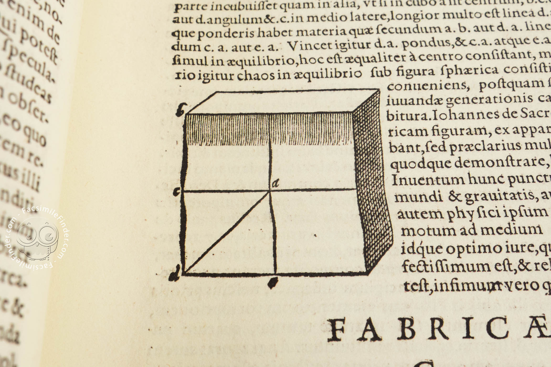
The first part was dedicated by Rumold Mercator to Elisabeth I (1533-1603) (leaf “c2”) on 1 April 1595. It comprises an extensive biography of the great cartographer (leaf “*-*2”), a eulogy, and next letters from Reihardus Solenander and Iacobus Sinstedius. Further on is the introduction to the atlas (leaf “aI” p. 1.) and the description of the creation of the world (leaf “a2-d4” p.3-32). The treatise on the creation of the world was published by Mercator in 1594 as an independent work.
The Maps
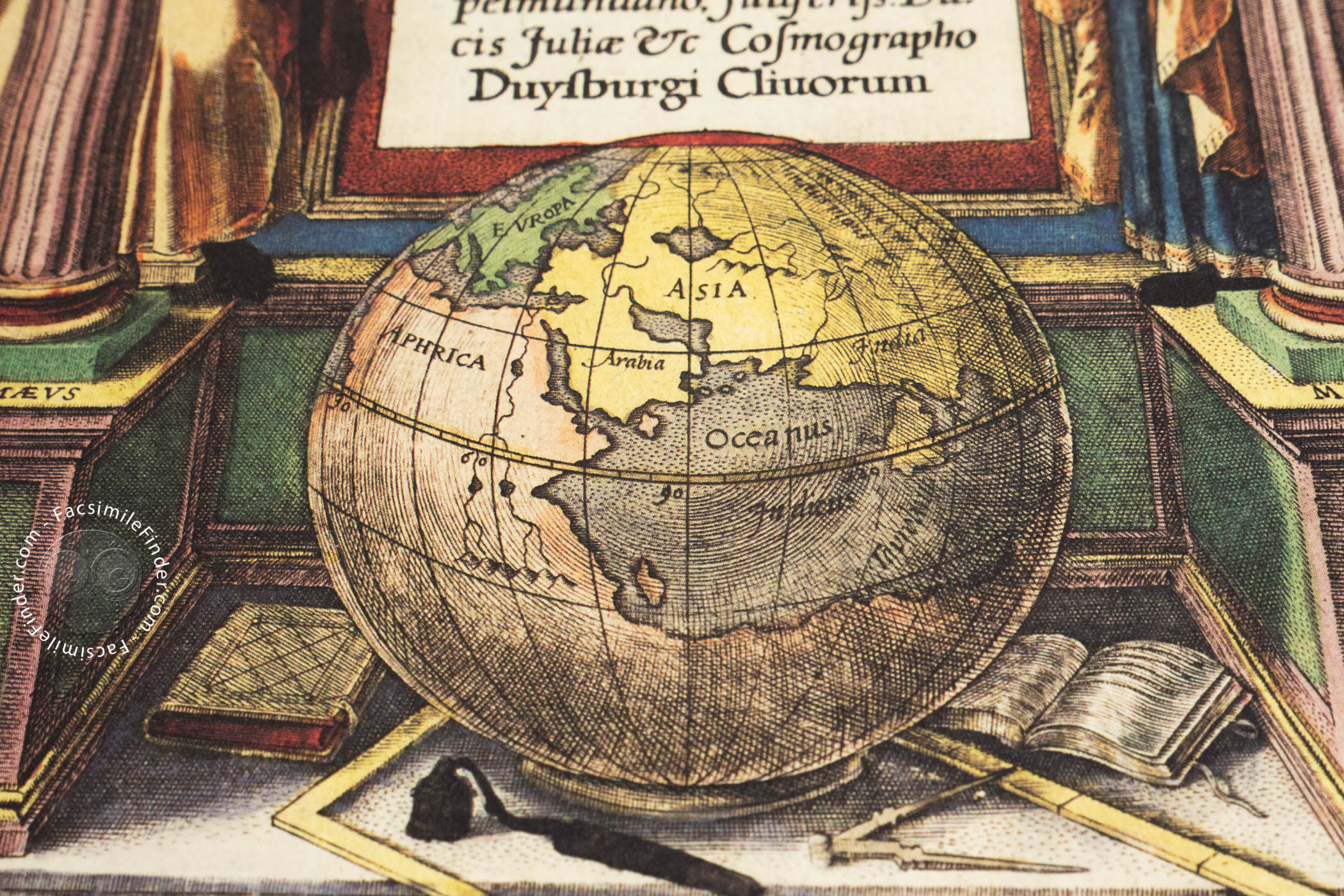
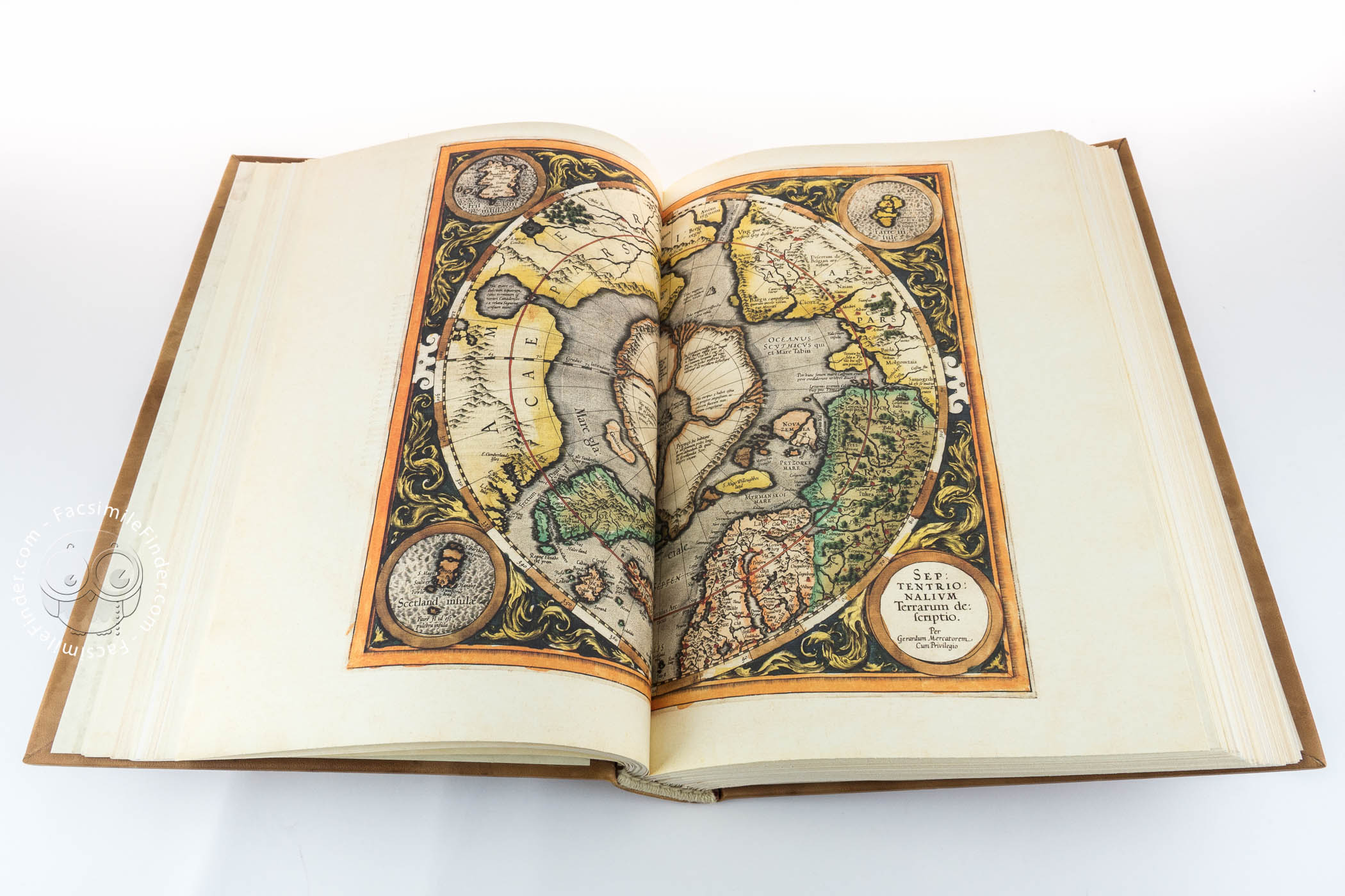
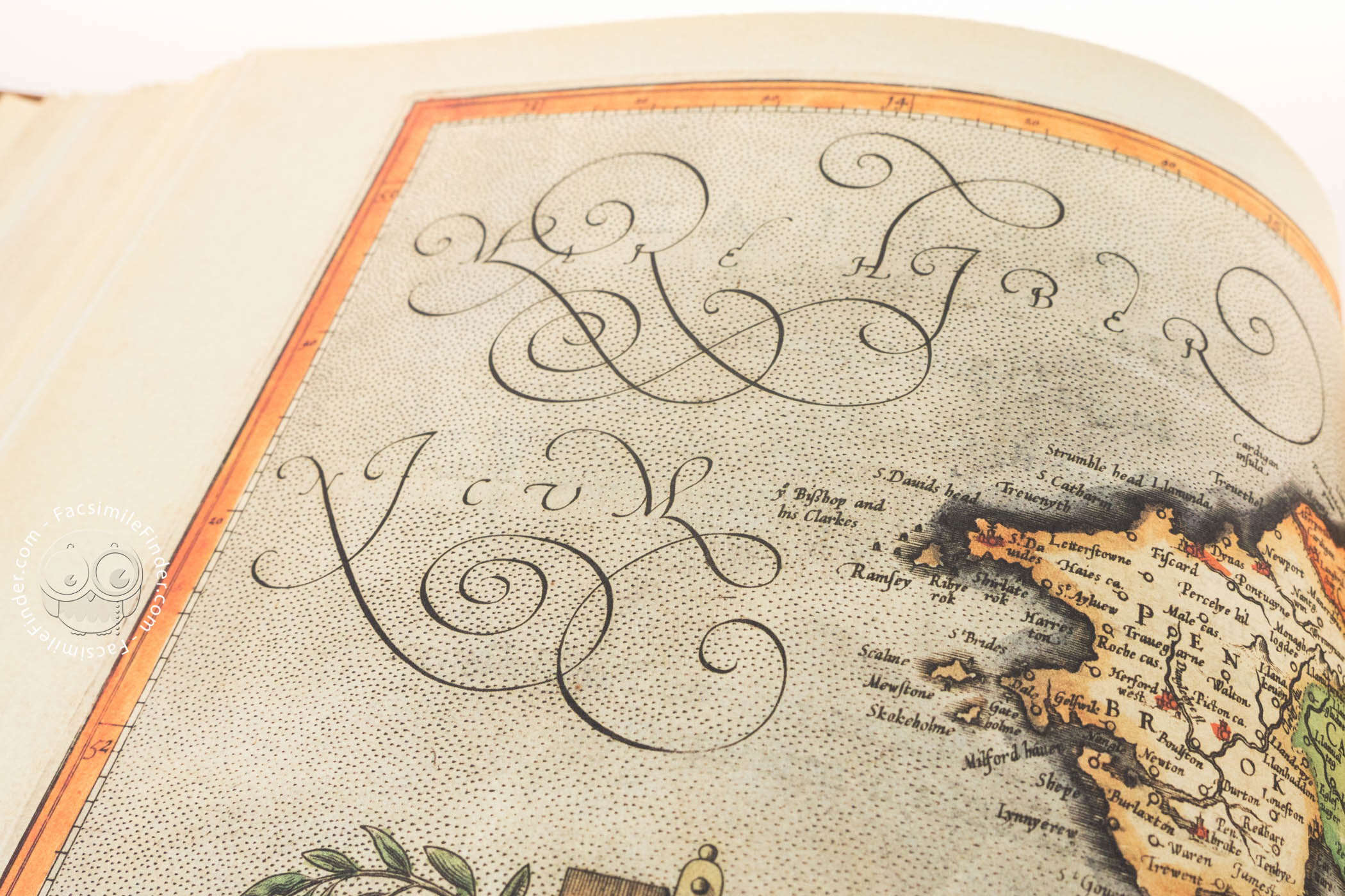
In the next part, the publisher included the first maps with descriptions of presented lands. The atlas includes planiglobes presenting the eastern and western hemispheres and maps of the following continents: Europe (leaf “B”), Africa (leaf “C”) and Asia (leaf “D”). As compared to the full publication from 1595, this edition lacks the map of America (leaf “E”), which should follow the map of Asia. The maps of continents were made based on a huge nautical chart of the world from 1569.
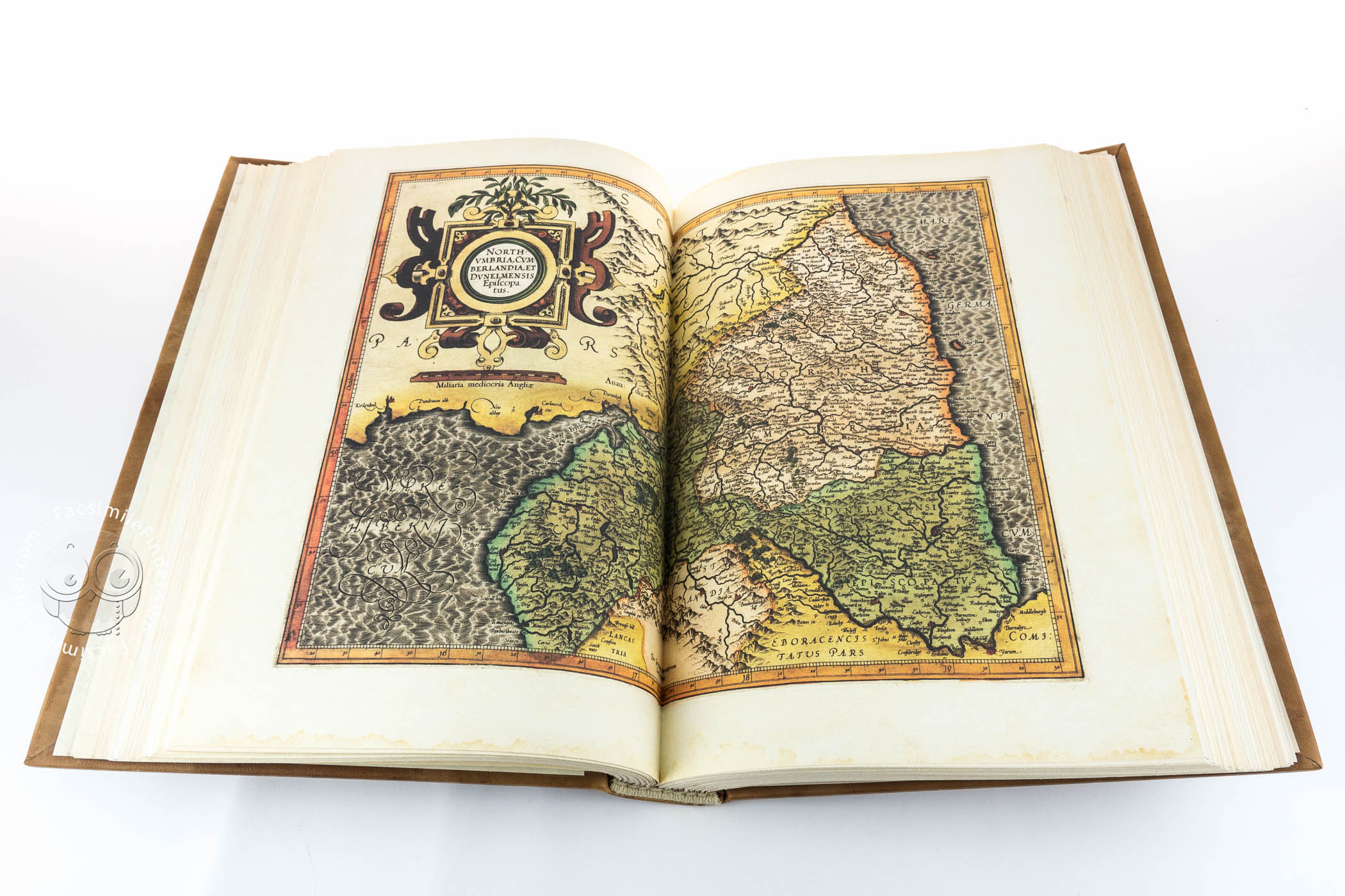
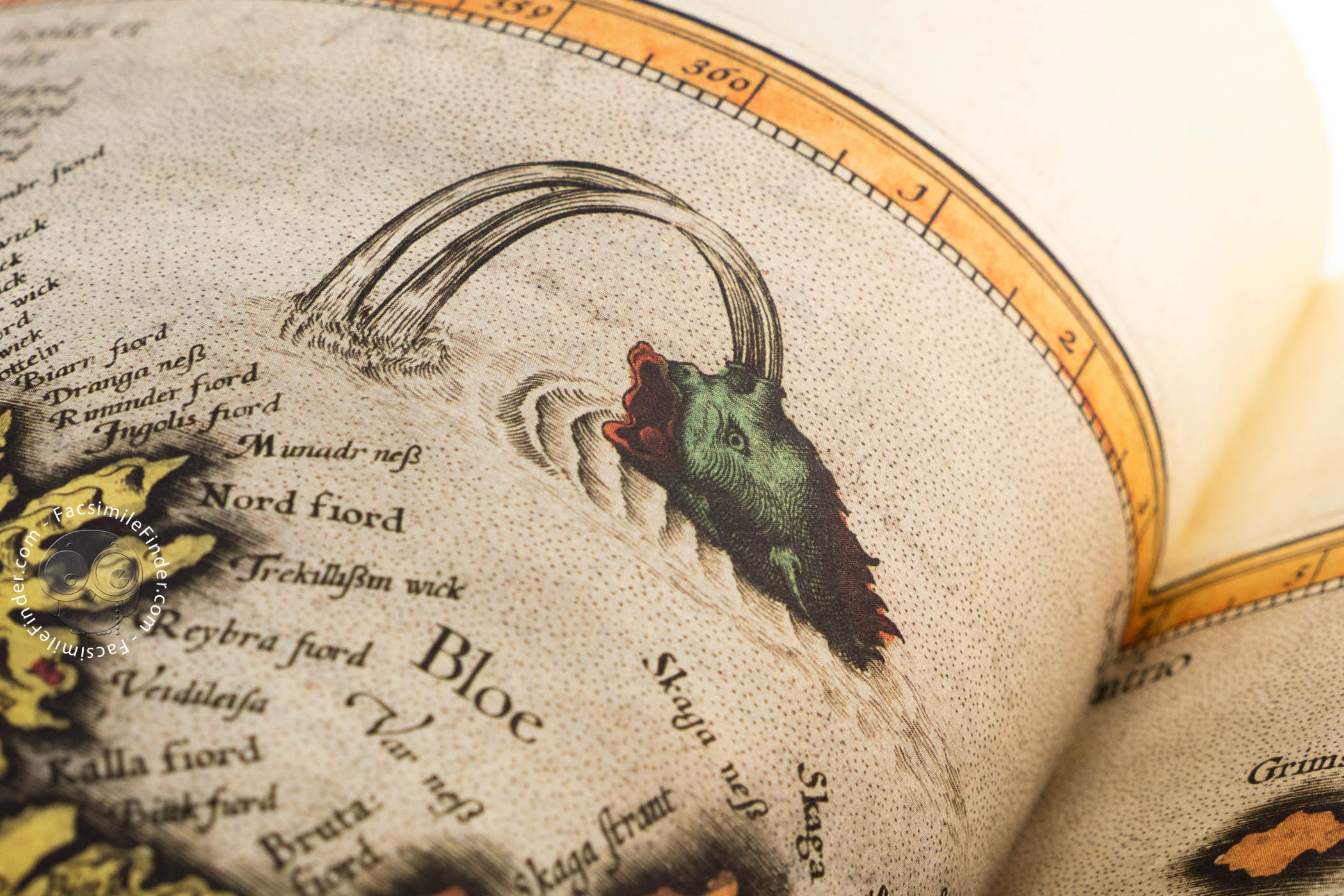
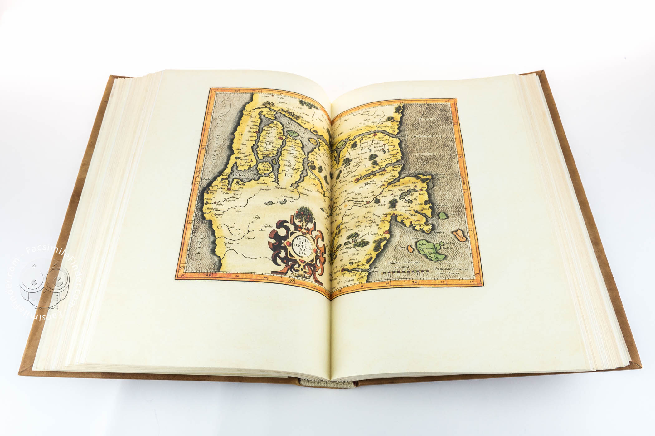
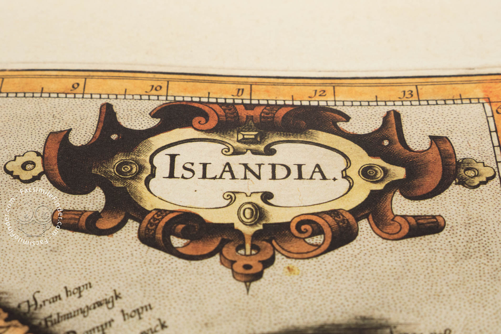
Next, the atlas features 29 maps of the Arctic and the countries of Northern and Eastern Europe (leaf “I-XXIX”). The part entitled Atlantis Pars altera also includes the maps of lands owned by Poland and its neighbouring countries: Prussia (leaf “XXIV”), Livonia (leaf “XXV”), Russia cum confinijs (leaf “XXVI”), Lithuania (leaf “XXVII”), Taurica Chersonesus (leaf “XXIX”).
The Missing Maps
In the independent part, Atlantis Pars altera, and full editions of Mercator’s atlas published in 1595, the maps of the countries of Northern and Eastern Europe are followed by indices for the maps of the British Isles (4 pages) and the maps of Scandinavian countries (4 pages). These, however, are missing in the Torun copy. For example, in the complete copy of the Library of the US Congress, these indices are featured after the map of the Scandinavian Peninsula, but before the description of Denmark (leaf “XXa”).
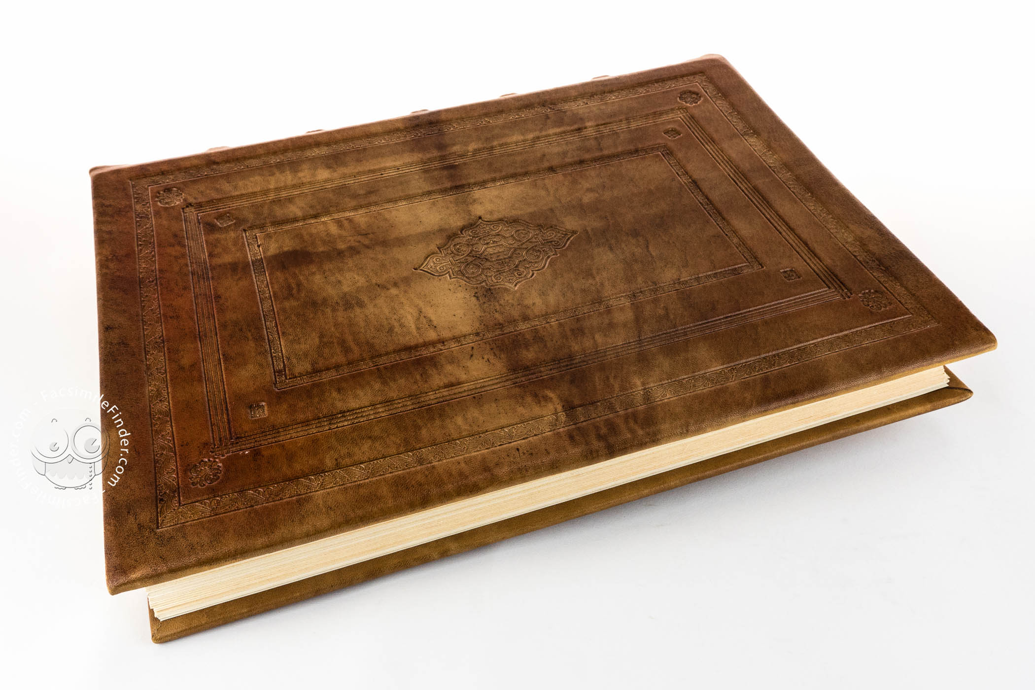
The Torun copy
Next, the full editions of the Mercator atlas published in 1595 contain three parts published initially in 1585. These are: Galliae tabule geographicae (…) (leaf “† ij-**j” (16 maps), Belgii Inferioris Geographicae tabule (…) (leaf “†2-†ij”) (9 maps) and Germaniae tabule geographicae (…) (leaf “† † 2-† † † 3”) (26 maps). Unfortunately, the Torun copy does include these parts, which sets it apart from other surviving copies. In the part dedicated to Germania, there is a map of the Brandenburg March and Pomerania Marca Brandenburgensis [et] Pomerania (leaf “S”) in a scale of approximately 1:900 000 and Poland and Silesia Polonia Et Silesia (leaf “Z”) in a scale of approximately 1:1 600 000. Germania was included as a geographical term (by authority of Ptolemy), not a political one, i.e. as the area ranging to the line of the Vistula river.
The second part of the Torun copy, containing the maps of Southern Europe was dedicated to cardinal Ferdinand II de’ Medici, the Grand Duke of Tuscany. It contains a total of 22 maps (leaf “1-22”): 15 maps of the countries of Italy, three maps of Styria, the Balkan countries and Danube Duchies and four maps of Greece, its regions and islands.
The folios are numbered using Arabian numerals. Leaves “14” and “22” are particularly interesting. The first of them includes two separate maps presenting Corse and Sardinia. The second one presents Crete, along with lesser sheets presenting 6 Greek islands. Pages containing the description of the presented area show small typographical differences as compared to the independent edition of this part from 1589. These are small changes to the text and decorations, which allows for dating maps that were in free circulation.
The Index
The maps are followed by an index of names used in the general maps of Italy and Greece and an index of the 22 maps. Indices in the Torun copy (leaf “a- -“) are numbered differently than in the full issue (folio „††-†††”). The next four pages contain an index of names used in the maps of Norway and Sweden, while the next four the index of names from the maps of the British Isles which further distinguishes the Torun copy from other editions published in 1585.
We have 1 facsimile edition of the manuscript "Gerardus Mercator - Atlas sive cosmographica": Atlas Merkatora facsimile edition, published by Orbis Pictus, 2009
Request Info / Price